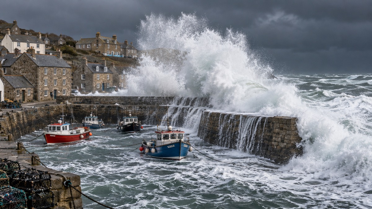
When a storm is given a name in the UK, it is because the Met Office, Met Éireann or the Dutch weather service KNMI expects it to cause disruption or damage serious enough for an amber or red weather warning1. The name is not a decoration: it is a signal that this particular area of low pressure is forecast to bring significant impacts, and that you should pay closer attention to the warnings that come with it. Strong winds are the main reason a storm is named, but heavy rain leading to flooding, or snow, also count towards the decision2.
Naming began in 2015, and the Met Office describes it as a public safety tool that makes severe weather easier to remember, talk about and follow3. A new list of names is issued each September, compiled jointly by the three services from public suggestions, and the names run in alphabetical order as storms qualify. There are never any names beginning with Q, U, X, Y or Z4. This page explains how the scheme works, what the warning colours that accompany a named storm actually ask you to do, and what recent named storms did to households across the UK.
A name comes with warnings, not instead of them
The naming scheme exists to help communication between the agencies responding to severe weather and the public they are warning4. When a low pressure system is forecast to bring significant impacts to the UK, it is given a name by the Met Office; when the same system threatens Ireland or the Netherlands, Met Éireann or KNMI can name it instead, and the name is taken from the same shared list in alphabetical order1. That is why some storms, such as Storm Dylan in the 2017/18 season, carry a name chosen by Met Éireann rather than the Met Office8.
The test for naming is tied directly to the National Severe Weather Warning Service. In the UK, a storm will be named when it has the potential to cause disruption or damage which could result in an amber or red warning, based on a combination of the impact the weather may have and the likelihood of those impacts occurring1. The Welsh Government puts the same rule plainly: the Met Office will usually name a storm when it has the potential to cause disruption or damage that requires an amber or red weather warning9. So if you hear a storm has been named, the practical meaning is that amber-level impacts are thought possible somewhere in the UK, and you should check whether your area is covered.
Strong winds are the primary consideration, but the naming group also weighs additional impacts from rain or snow2. Past named storms since 2015 have produced wind gusts reaching 80 to 90 mph10, which is the sort of strength that brings down trees and power lines.
A few details of the list are worth knowing. Names are chosen from public suggestions, which reached more than 40,000 submissions in 2025, plus suggestions from Met Éireann and KNMI, favouring popular names and names that reflect the diversity of the UK, Ireland and the Netherlands1. If a storm began life as a hurricane named by the US National Weather Service, the name is not changed: it would be referred to as ex-hurricane Ophelia, and if it then meets the UK naming criteria it becomes Storm Ophelia1.
The number of named storms varies enormously from season to season. The 2022/23 season produced just 2 named storms, the least in a season, while 2023/24 produced 12, the most3. The 2024/25 season saw 6 named storms, starting with Storm Ashley in October 2024 and ending with Storm Floris in August11, and the 2021/22 season also saw six storms named over the year12. A quiet season is not a reason to stop checking warnings, and a busy one is not a reason to treat each name as routine.
What the warning colours tell you to do
The name gets your attention; the colour tells you what to do. Met Office warnings are given a colour, yellow, amber or red, depending on a combination of both the impact the weather may have and the likelihood of those impacts occurring5. The three colours correspond to being aware, being prepared and taking action13.
| Colour | What it means | What you should do |
|---|---|---|
| Yellow | Disruption to a greater or lesser extent is possible in the warning area | Check the details of the forecast and consider steps to minimise impacts for your household14 |
| Amber | Increased likelihood of impacts from severe weather | Be prepared to change plans and protect yourself, your family and community from impacts5 |
| Red | Dangerous weather, high certainty, likely risk to life and substantial disruption | Take action now to keep yourself and others safe; avoid travelling where possible15 |
Yellow warnings need reading, not dismissing. The Met Office says it is important to read the content of yellow warnings to determine which weather situation is being covered, because yellow covers everything from low-level disruption to the edge of a much more serious event15. Even in a yellow warning area, people will see disruption to a greater or lesser extent, so check the details and see which steps you could take to prepare14.
At the other end, a red warning means dangerous weather is expected and, if you have not already done so, you should take action now to keep yourself and others safe from the impact of the severe weather15. Red warnings are reserved for very dangerous weather with a high level of certainty: you should take direct action to keep yourself and others safe, and it is likely there will be a risk to life as well as substantial disruption to travel and infrastructure14. You should avoid travelling where possible and follow the advice of the emergency services and local authorities16. For a fuller explanation of each level, see Met Office weather warnings explained.
When a red warning is issued: Emergency Alerts to your phone
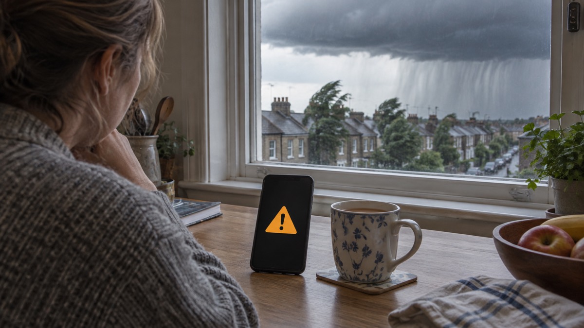
For the most dangerous weather, the government can send an Emergency Alert directly to mobile phones in the affected area. Alerts are sent to compatible 4G and 5G mobile phones and tablets within an area of risk; they do not need your location or your phone number, and only the government and emergency services can send them17. They are delivered over the mobile networks to compatible phones and tablets in a specific geographical area18, and may be sent during emergencies such as severe flooding, major fires, extreme weather or other incidents that require immediate action19.
You will know if you get one: you will hear a loud, siren-like sound and your phone will use a distinct vibration, and a message will appear on your screen telling you about the emergency and what you need to do, until you acknowledge it20. This is not a test of your imagination; Storm Éowyn on 24 January 2025 brought red wind alerts to Scotland and Northern Ireland warning of extremely strong winds, danger to life and possible power cuts and mobile coverage disruption11.
Two practical points from the official guidance. First, if you acknowledge an alert and want to find it again, on Android phones it may be in the Messages app or in Emergency Alert History, while on iPhone it will be in your notifications, and if you delete your notifications the alert is deleted too21. Second, Denbighshire Council advises people who are less likely to have a mobile, such as older relatives, to identify someone who lives near them who can inform them of any Emergency Alerts being sent21. If someone in your household would not hear an alert, arrange that neighbourly link before the next storm, not during it.
Storm Boelo: amber wind warnings for northern UK
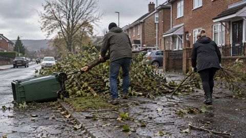
Storm Boelo, named on 22 October 20261, is a good recent example of how the system works end to end. Amber warnings for wind were issued for Scotland and parts of Northern Ireland and northern England, sitting within wider yellow warnings extending further south into England and north Wales and covering the whole of Northern Ireland22. In Northern Ireland, nidirect reported amber and yellow warnings for strong winds on Saturday 24 and Sunday 25 October23.
Within the amber warning area, widespread gusts of 60 to 70 mph were forecast, with the potential for gusts of 80 mph in exposed coastal locations; elsewhere in the UK, outside the amber area, gusts of 50 to 60 mph were possible in places22. The listed possible impacts read like a checklist of what a named storm does: injuries or danger to life from flying debris, large waves and beach material at coasts, travel delays, fallen trees, and power cuts23.
Traffic Scotland described Storm Boelo as bringing a very windy spell with some disruption likely across parts of northern UK, and advised drivers to check road conditions, or bus and train timetables, and amend travel plans if necessary, heeding all advice from the Met Office, Police Scotland and Transport Scotland24. Storm Boelo followed Storm Austen, the first named storm of the season, which brought strong winds to parts of the UK the previous Friday22. For the full account of the storm and the power restoration that followed, see Storm Boelo: what happened and how supplies were restored.
Storm Darragh: red warnings and millions without power
Storm Darragh in December 2024 showed what the top of the warning scale looks like. The Met Office report on the storm records red warning areas with winds gusting at 60 to 70 Kt (69 to 81 mph) or higher25. Across Wales, 8 stations recorded gusts of 60 Kt (69 mph) or more on 7 December 2024, ranking Darragh alongside the strongest named storms in the Welsh record25.
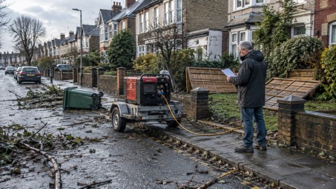
The impact on electricity supplies was on a national scale: over 2.3 million customers lost power during the storm25. That figure is a reminder of why the warning colours matter. A red warning is not issued lightly, and the consequences of ignoring one can affect millions of households at once. The full story of Darragh, including what households learned from it, is on the page Storm Darragh 2024: impacts and lessons for households.
Storm Bert: one storm bringing rain, wind and snow at once
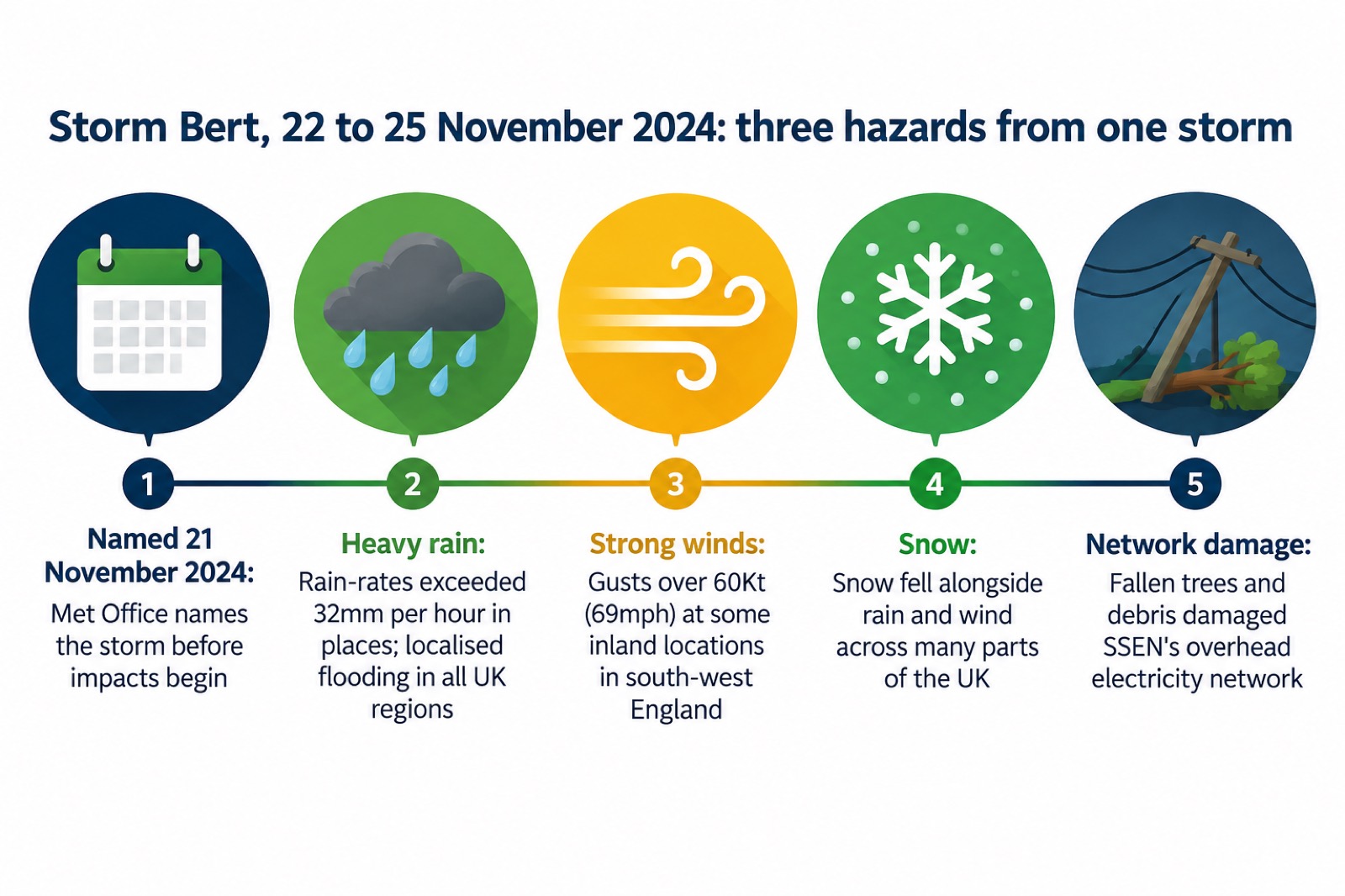
Storm Bert, named on 21 November 2024, illustrates why the naming group looks beyond wind. The Met Office's report describes Bert as a multi-hazard storm which brought heavy rain, strong winds and snow across many parts of the UK, from 22 to 25 November 202426. A deep Atlantic low pressure system, it brought a spell of extremely wet and windy weather in late November, and instantaneous rain-rates in places exceeded 32 mm per hour26. The heavy rain brought the greatest impacts, with localised flooding in all regions of the UK26.
The winds were serious in their own right. Gusts exceeding 60 Kt (69 mph) were recorded even at some inland locations in south-west England26, and the network operator SSEN observed wind gusts of over 60 mph inland across its region27. For the electricity network, the mechanism was the familiar one: damage to the overhead network from fallen trees, branches and other debris picked up by the wind27.
Bert is the case for treating a named storm as a package of hazards rather than a wind event. A household that prepared only for wind would have been caught out by flooding in every region of the UK; one that prepared only for rain would have been caught by the snow. When a storm is named, read the full warning text for every hazard it covers, not just the headline.
Storm Arwen: what a named storm plus cold weather does
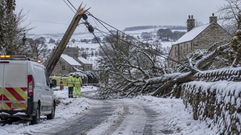
Storm Arwen, named on 25 November 202112, is the storm most often cited when community resilience is discussed in the north of England, because it combined wind damage with a follow-on cold snap. Residents of Low Row, an isolated village in Swaledale in North Yorkshire, were among the hardest hit: temperatures plunged below minus six degrees centigrade and heavy snowfall coated the hills, leaving residents without power and roads inaccessible to seek help28.
The Durham County Council review of the storm notes that it was followed immediately by a period of cold weather with freezing temperatures and snow in the high Pennine areas, and then by a second, though less severe storm, Storm Barra, five days later29. Two storms in a week, with cold in between, is the pattern that catches households out: the first storm takes the power out, and the weather that follows makes staying home without heating dangerous. That is why blankets and warm clothing should be to hand before a storm arrives, as the fire and rescue service advises for power cuts in adverse weather30. The full account is at Storm Arwen 2021: what happened and what changed.
Power cuts after a named storm usually come from fallen trees
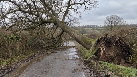
Storms can lead to disruption to power, internet and phone networks, fallen trees and flooded infrastructure, and can cause issues with travel including planes, cars and trains31. Power cuts have a number of causes, including severe weather, which damages infrastructure, and system faults7. The mechanism is almost always the same: wind brings down trees, branches and debris onto overhead electricity lines, as SSEN described after Storm Bert27.
Know the number to report an outage before you need it. The single emergency power cut number is 105 in England, Scotland and Wales, and 03457 643643 in Northern Ireland7. Write it down with your torch, because storms often take out phone and internet at the same time as power31. Our power cuts guide covers what to have ready and what to do during an outage.
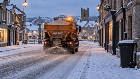
Restoration times depend on how much of the network is down and how accessible the damage is, and the figures from past storms are sobering rather than precise. After Storm Arwen, the official review records 82 per cent of customers reconnected within 24 hours and 93 per cent restored within the first 48 hours29. For a household, the honest reading is that after a major named storm you should be prepared to be without power for at least a full day, possibly longer if you are in an isolated area, as Low Row was28. During Storm Amy in October 2025, a council in Dumfries and Galloway activated a Warmth and Wellbeing plan with 12 warm hubs across its 12 wards32, and during the October 2026 storm power cuts National Grid listed eleven heated warm spaces in Cornwall with postcodes and opening times33. Check your council and electricity network websites during an outage for warm spaces near you.
Staying safe on roads and coasts while a storm passes
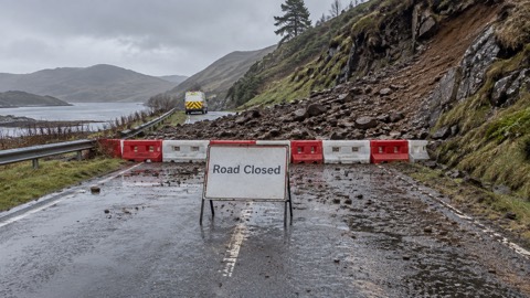
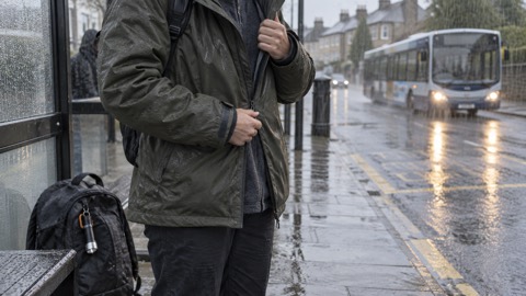
The safest place in a named storm is indoors, and the best journey is the one you postpone. If you need to drive, take care on exposed routes such as bridges or high open roads, delay your journey or find alternative routes if possible, slow down and be aware of side winds, particularly if you are towing or driving a high-sided vehicle31. Give vulnerable road users including cyclists, motorcyclists and pedestrians more room than usual: they are more likely to be blown around by side winds, so always keep a safe distance36.
The Met Office's travel guidance is blunt about flooding: the number one cause of death during flooding is driving through flood water, so the safest advice is turn around, don't drown36. If you are deciding whether to set out at all, see should I delay my journey in bad weather? and how to drive safely in strong winds.
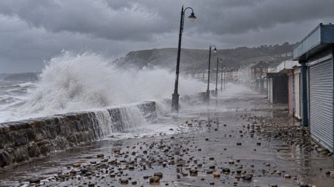
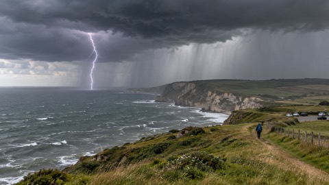
On the coast, the advice is to avoid it entirely. Large waves and sea spray can be dangerous on beaches, promenades, coastal footpaths and roads34. Even from the shore, large breaking waves can sweep you off your feet, so take care if walking near cliffs, know your route and keep dogs on a lead15. In an emergency, call 999 and ask for the Coastguard15. More detail is in staying safe on the coast in gales and high waves.
Getting storm warnings from the Met Office
You do not need to wait for a name to appear on the news. Warnings are provided up to 7 days in advance for rain, thunderstorms, wind, ice, snow, extreme heat, fog and lightning37, and the Met Office operates 24 hours a day, 365 days a year, so warnings can be issued at any time, day or night5. The Met Office is a 24-hour organisation and warnings can be issued at any point, even Christmas Day37, so do not assume a holiday weekend means no warnings.
The practical steps are simple:
- Check the weather forecasts, or download the Met Office Weather Forecast app, where you can create alerts for your area, and pay particular attention to any National Severe Weather Warning covering your area and act on any advice issued31.
- Sign up for weather warning alerts so the warning comes to you rather than you having to look for it38.
- Check the Met Office website at metoffice.gov.uk, or call 0870 900 010013.
- Pay extra attention to advice and warnings when a storm is named, because named storms are more likely to bring the biggest impacts31.
The same basic advice applies across the four nations: check your local forecast and the national weather warnings on the Met Office website, as Ready Scotland puts it39, and in Northern Ireland, nidirect directs households to Met Office warnings for severe weather including storms38. The warnings themselves are UK-wide and identical wherever you live; what differs is the local response, such as police travel advice from Police Scotland and Transport Scotland during Storm Boelo24.
Are named storms becoming more frequent?
The honest answer is that the trend points that way, but the seasons swing widely. The Welsh Government states that climate change means Wales is experiencing extreme weather more regularly, including more frequent named storm events9. Derbyshire County Council, citing the Met Office, notes higher annual temperatures, increased days with very heavy rainfall and record-breaking high temperatures since the 1961 to 1990 baseline, and that the UK is likely to have hotter, drier summers and warmer, wetter winters, with extreme weather events such as heatwaves and heavy downpours likely to become more frequent and more intense39.
Against that background, the season counts still vary: 2 named storms in 2022/23, 12 in 2023/243, 6 in both 2021/22 and 2024/2511. The variation is why the Met Office names storms by impact rather than by count: a season with few names can still contain a storm like Arwen, and the naming criteria are about disruption and damage, not about filling the list1. For what to have ready before the next one, start with getting your household prepared and the storms, snow and ice guide.
Sources (39)
- UK Storm Centre: Name our Storms, Met Office, 2026
- Community resilience leaflet, Met Office, 2024
- 10 years since Storm Abigail: a decade of named storms, Met Office, 2025-11-10
- Storms: local risks, Wiltshire and Swindon Prepared, 2024-05-31
- Met Office warnings guide, Met Office, 2026-10-25
- Power cuts: be informed about hazards, Prepare Campaign, 2026-10-21
- UK storm season 2024/25, Met Office, 2024
- UK storm season 2017/18, Met Office, 2026-10-29
- Resilience and risks in Wales, Welsh Government, 2026-09-07
- Amber and yellow warnings in force for Storm Amy, Met Office, 2025-10-03
- UK storm season 2021/22, Met Office, 2021
- When and why do we issue warnings, Met Office, 2026-10-26
- Severe weather: West Yorkshire Prepared, West Yorkshire Prepared, 2026-10-29
- UK warnings page, Met Office, 2026-10-24
- Weather warnings: Traffic Scotland, Traffic Scotland, 2026-10-29
- Emergency Alerts: Warwick District Council, Warwick District Council, 2026-10-29
- Emergency Alerts System factsheet, Prepare Campaign, 2025-08
- Emergency Alerts service: Croydon Council, Croydon Council, 2026
- Emergency alerts: Denbighshire Council, Denbighshire County Council, 2026-10-26
- Amber warning issued for Storm Boelo as Storm Austen moves through, Met Office, 2026-10-24
- Strong winds weather warning information and advice, nidirect, 2026-10-24
- Storm Boelo travel advice, Traffic Scotland, 2026-10-29
- Storm Darragh report, Met Office, 2024-12
- Storm Bert report, Met Office, 2025-02-14
- Spotlight on SSEN: Storm Bert, Wiltshire and Swindon Prepared, 2026-10-25
- North Yorkshire Community Risk Register 2025, North Yorkshire Local Resilience Forum, 2025-02
- Storm Arwen review, Durham County Council, 2022-07-13
- Storms: be informed about hazards, Prepare Campaign, 2026-10-19
- Staying safe in the snow, North Yorkshire Fire and Rescue Service, 2023-03-09
- Storms and gales: Lancashire Prepared, Lancashire Prepared, 2026-10-29
- Travelling in storms, rain and wind, Met Office, 2026-10-26
- Adoption of Warmth and Wellbeing Contingency Plan, Dumfries and Galloway Council, 2025-10-04
- Welfare provisions: warm spaces, National Grid, 2026-10-25
- Ready for winter: storm-damaged trees, Highland Council, 2026-10-23
- Weather warnings guide, Wiltshire and Swindon Prepared, 2026-10-25
- Keeping safe in summer and severe weather, Surrey County Council, 2026-10-28
- Storms and wind: Ready Scotland, Ready Scotland, 2026-03-24
- Severe weather: storms, flooding and drought, nidirect, 2026-07-06
- Adapting to extreme weather, Derbyshire County Council, 2026-10-29
 Flood Warning Checklist
 First Steps After a Flood
 Insurance Claim Records
 Storm Arwen 2021
 Storm Boelo
 Coastal Safety in Gales
 Council Help in Severe Weather
 Dangerous Trees
 Storm Darragh 2024
 Landslips After Heavy Rain
 Lightning Safety
 Travel Disruption in Bad Weather