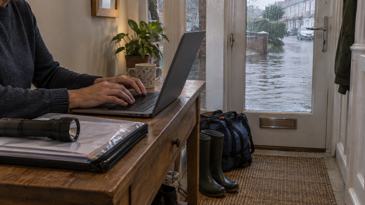
If you want to know whether your home could flood, the quickest first step is free and takes a few minutes. Go to the GOV.UK service "Check the long term flood risk for an area in England", enter your postcode, and you will see the long term flood risk for your area from rivers and the sea, surface water, reservoirs and groundwater where data is available, together with the possible causes of flooding, how climate change might increase the chance of flooding, and how to manage the risk1. Suffolk County Council puts the basic action plainly: "You can find out if your home is at risk of flooding by entering your postcode on the government website"2.
Two things matter before you start. First, the check tells you the risk to an area, not to your individual house. Natural Resources Wales, which runs the equivalent service for Wales, states: "This service will tell you the risk of flooding to an area"3. Second, the risk it describes is long term: the chance that exists this year, next year and in the years ahead, not whether water is rising outside now. For that, there is a separate live service, and this page explains which to use and when.
Check your flood risk by postcode in England
The England service lives on GOV.UK and is run using Environment Agency data. You enter a postcode and it returns the long term flood risk for the surrounding area, broken down by the sources of flooding that could affect it, along with guidance on managing whatever risk it finds1. The Environment Agency's own flood and coastal risk management report describes it the same way: "You can check your flood risk using the long term flood risk service. This service gives information on the possible causes of flooding and how to manage the risk"8.
Fire and rescue services and councils across England point households to the same tool. London Fire Brigade advises: "You can check to see if you are at risk of flooding in your area" via the gov.uk flood risk check7. North Yorkshire Fire and Rescue Service tells residents to check whether their property is at risk using the same service before doing anything else9. Central Bedfordshire Council's advice is the same: if you don't know your flood risk, use the GOV.UK flood risk checker10. When several independent official bodies all route people to one service, that is the one to use.
The check is free and you do not need an account. If you cannot use the online service, for example because you do not have internet access, GOV.UK directs you to Floodline on 0345 988 1188, where the same long term risk information is available over the phone1. It is worth doing the check more than once over the years, because the underlying national assessment is updated: the current National Flood Risk Assessment for England, often called NaFRA, was first published in 2004, last received a full update in 2018, and was rebuilt for the 2024 assessment5.
Once you have your result, the practical next steps are to understand what the risk bands actually mean for your household, which the rest of this page covers, and then to act on it: sign up for flood warnings, think about a household flood plan, and consider protecting your home if the risk is meaningful.
What the long term risk check covers
The England check covers four main sources of flooding, plus a fifth where information exists. GOV.UK's prepare-for-flooding guidance summarises it: "check your long term flood risk from rivers, the sea, surface water, reservoirs and groundwater (where data is available)"4. The same wording appears across official guidance, including the government's flash flooding guidance and its advice on preparing your property and adapting your home11.
| Source of flooding | What it means for your area | Notes |
|---|---|---|
| Rivers and the sea | Flooding from rivers overflowing or from coastal and tidal water | Shown on the main risk maps14 |
| Surface water | Rainfall that cannot drain away, pooling or flowing over ground | , |
| Reservoirs | Flooding if a reservoir or dam fails | , |
| Groundwater | Water rising up through the ground after long periods of rain | Not included in the national risk assessment, because there are too many gaps in the understanding and evidence for groundwater flooding4 |
Surface water flooding deserves particular attention because it is the one that catches households out. The Flood Guidance Statement for 8 February 2026 described what it looks like in practice: "Impacts could include localised flooding from urban and fast responding smaller watercourses/catchments, drains, channels and flooding from overland flow"15. That statement also reported minor surface water flooding impacts as probable in parts of England and Wales on the Monday and possible on the Tuesday of that week, showing how quickly this kind of flooding can arrive and pass15. Our page on the types of flooding explains each source in more detail.
Groundwater is the odd one out in the national data. The 2024 National Flood Risk Assessment for England covers rivers, the sea and surface water, but it does not include groundwater flooding, because as the assessment itself puts it, "there are too many gaps in our understanding and evidence"5. So a low result on the national check does not rule out groundwater flooding, which tends to follow weeks of wet weather and can last a long time. If groundwater is a live concern in your area, see our page on groundwater flooding.
What the check will not tell you about your own property
This is the most important limit to understand, and every official body states it clearly. The GOV.UK service for England does not tell you how likely it is that an individual property will flood, and it does not cover flood risk from blocked drains and burst pipes1. SEPA, the Scottish Environment Protection Agency, says the same of its service: "This service does NOT tell you about: Flood risk for a specific property; Flood risk from blocked drains and burst pipes"16.
The reason is that the maps model areas, not buildings. Two houses on the same street can have very different outcomes depending on their floor height, whether they have a cellar, how they are built, and where water would actually flow. SEPA's flood maps guidance explains that the service "does not show the flood risk for specific addresses and must not be understood in this way"; the address you type in is only used as the centre of the search area17. SEPA's flood maps "don't show individual properties, but they can tell you if your area is at risk of flooding"18.
Blocked drains and burst pipes are a separate category of problem altogether. They are plumbing and drainage failures rather than the catchment-wide risks the national models are built for. If a blocked road drain or gully is the worry, that is a matter for your council, and our page on reporting a blocked road gully covers it. For sewer flooding, your water company is the responsible body, and our pages on sewer flooding and who manages flood risk set out who does what.
The practical response to these limits is to treat the postcode check as a first screening step, not a verdict on your house. If it shows a meaningful risk to your area, the next moves are a flood history report for evidence of what has actually happened there, a conversation with your local flooding team, and, if you want a property-level answer, a professional property resilience survey.
Flood maps now drawn at 2 metre detail, with expected flood depths
The data behind the England check improved sharply in 2024. The National Flood Risk Assessment for England 2024 states: "The better modelling in the new NaFRA provides a 2 metre resolution"5. That is a big step up from the previous generation: the Risk of Flooding from Rivers and Sea maps were, in the assessment's own words, "limited to a 50 metre resolution"5. In practice, a 50 metre grid could blur the difference between one side of a street and the other; a 2 metre grid can distinguish individual buildings and gardens.
The new assessment also expresses risk in terms of expected flood depth, in three bands5:
- less than 30cm
- between 30cm and 60cm
- greater than 60cm
Those bands are useful for planning. Water below 30cm is ankle height and mostly a threat to floors, skirting, furniture and electrics near the floor. Water between 30cm and 60cm reaches above the knees and begins to threaten doorways, low appliances and vehicles. Water greater than 60cm is the deepest band the maps show, and any water at that depth is a serious matter for a household. Our page on whether it is safe to walk or drive through floodwater covers the judgement in detail.
The 2024 assessment also builds climate change into the numbers. For river and surface water flooding it uses a central allowance based on the 50th percentile from UKCP18, RCP 8.5, and for sea flooding and coastal erosion a higher central allowance based on the 70th percentile from the same projections5. In plain terms, the risk you see on the map already includes an allowance for a warmer future climate, with a more cautious allowance where the sea is involved. The check itself reports how climate change might increase the chance of flooding in your area1.
One caution from the Environment Agency itself: "NaFRA was not developed or tested for insurance underwriting or setting insurance premiums"5. Insurers use their own data alongside public maps, so do not assume the map result dictates what you will pay. Our page on home insurance in a flood risk area and Flood Re explains how cover works.
Long term risk or flooding now: which service to use
GOV.UK runs two flood services and it is worth knowing which does what. The long term flood risk service tells you about the chance of flooding over the years. The other, "Check for flooding", is for the live situation. Its own description: "Use this service to check: current flood warnings or alerts; river, sea, groundwater and rainfall levels; and flood risk in the next 5 days"19. SEPA draws the same line for Scotland: its long term risk service "tells you about long term flood risk for an area, not live flooding"16.
A simple rule: use the long term check when you are planning, and the live check when it is raining or about to. During storms and gales, Lancashire Prepared's advice is to be aware of flood risk by signing up for warnings at Check for Flooding on GOV.UK20. The live service also points you back the other way: "There's a different service if you want to check the long term flood risk for an area"19.
Behind the live picture sits the Flood Forecasting Centre, which issues daily guidance rating flood risk for England and Wales over the next five days. The ratings move quickly when the weather does. On 28 January 2026 the river flood risk was rated medium for that Wednesday, with minor surface water flooding impacts expected for parts of England on the Thursday and into early Friday morning21. On 8 February 2026, significant river flooding impacts were possible in the Somerset Levels, with minor river flooding impacts probable in Worcestershire and Gloucestershire and parts of the Midlands15. Our page on the Flood Guidance Statement and five-day forecasts explains how to read these ratings, and our page on flood alerts, warnings and severe flood warnings covers what each warning level asks you to do.
Checking flood risk in Wales, Scotland and Northern Ireland
Each nation runs its own service, and the arrangements differ enough to matter.
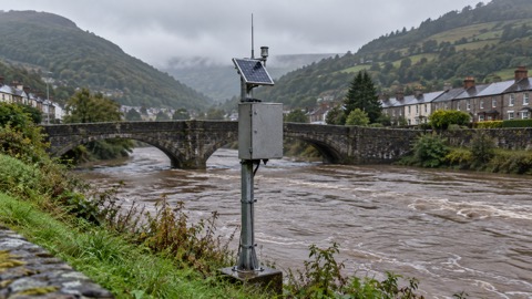
Wales. Natural Resources Wales provides a postcode flood risk check, "Check your flood risk by postcode", which is also available in Welsh3. For the current situation rather than the long term picture, NRW directs you to its live flood warnings page3. Our page on Natural Resources Wales warnings and risk maps goes into the detail.
Scotland. SEPA's service tells you the long term flood risk for an area in Scotland and shows it on a map; it also lets you check a planning proposal for flood risk against SEPA's Future Flood Maps16. The same service is available over the phone on Floodline, 0345 988 118816. Two Scottish specifics are worth knowing. First, SEPA's flood maps use a 25 metre search buffer around the address you enter, to show you if you live near to an area at risk of flooding17. Second, SEPA does not provide property-level answers: "We do not issue flood risk reports for properties"18.
Scotland also published a new National Flood Risk Assessment on 18 December 202523. Its headline finding on climate change is stark: river flooding "will also surge, with homes in high-risk zones expected to double by the end of the century"23. That assessment will shape Scotland's National Flood Risk Management Plans in 2027 and Local Flood Risk Management Plans in 202823, which is when new local schemes and priorities should emerge.
Northern Ireland. The nidirect government service directs you to Flood Maps NI: "To check flooding risks in your area or anywhere in Northern Ireland, use the Flood Maps NI"24. The same page notes that Flood Maps NI shows flood risk areas and an area's flood risk history24. Northern Ireland's arrangements are separate from those of Great Britain, including for flood history information, so start with nidirect rather than the GOV.UK services.
| Nation | Long term risk service | Run by |
|---|---|---|
| England | Check the long term flood risk for an area in England1 | GOV.UK / Environment Agency |
| Wales | Check your flood risk by postcode3 | Natural Resources Wales |
| Scotland | Check an area's long term flood risk22 | SEPA |
| Northern Ireland | Flood Maps NI24 | nidirect |
Asking for a flood history report on your property
The postcode check tells you the modelled risk. A flood history report tells you what has actually happened. In England, you request it from the Environment Agency: "You can request the flood history for the area around an address or postcode in England from the Environment Agency"6. The request is made by email, and the guidance is specific about what to include: "Email the Environment Agency with the full address (including postcode) of the property or area you want the flood history for"6.
What to expect from the process6:
- Email the Environment Agency with the full address, including the postcode, of the property or area.
- Wait for the reply. The report is sent by email within 20 working days.
- Check whether a fee applies. You may have to pay a fee depending on how long the report takes to produce, and the Environment Agency will let you know if there is a fee to pay.
- If you do not know the postcode, send a map of the area instead, attaching a file or including a link to an online map.
Two limits on the report are worth knowing in advance. The Environment Agency "does not have flood records for all areas in England and may not have data for the area around your property"6, so a report may come back thin even in a genuinely risky area. And the service covers England only: there are different ways to get flooding information if you live in Scotland, Wales or Northern Ireland6. In Scotland, SEPA does not issue flood risk reports for properties at all18.
A flood history report is most useful when you are weighing up a purchase, negotiating with an insurer, or deciding how far to go with protecting your home. Alongside it, the government's flood preparation booklet advises checking your buildings and contents insurance policy: confirm you are covered for flooding, find out whether the policy replaces new for old and whether it has a limit on repairs, and do not underestimate the value of your contents25.
When the national data is not enough: local flooding teams
Sometimes the national map will not settle your question, perhaps because your street sits on the boundary between risk zones, or because the flooding you remember was caused by a drain or a culvert the national model does not capture. SEPA's advice for Scotland applies everywhere in principle: "Your local authority's flooding team may hold more information. You should also check with them"16.
Your first contact is your local council, which can point you to the right team. In England, the body to ask for is the lead local flood authority: the Environment Agency's flood history guidance names "your lead local flood authority, get their details from your local council", or the Internal Drainage Board if there is one in your area, as holders of further flooding information6. County councils publish their own advice on this: Derbyshire County Council, for example, tells residents to check whether their property or workplace is in an area prone to flooding by searching by postcode on the flood maps for planning, or by contacting the council for site specific information on surface water flood risk26.
Local teams are also the route into community-level work. Natural Resources Wales runs a community flood plan process in which you tell them your name, postcode and whether they have permission to pass on your details, so neighbours can be organised before water arrives27. The government publishes a community flood plan template for the same purpose28. If your area's risk is real, a neighbourhood plan is one of the most effective things you can join, and our page on community resilience covers the wider idea.
During an actual flood, local information matters in a different way. Nottinghamshire County Council's advice during a flood includes a simple duty many people forget: check on vulnerable neighbours or relatives29. Our page on what to do during a flood at home covers the rest of the immediate actions.
After you check: sign up for free flood warnings
Knowing your risk is only useful if you hear about it in time, so the last step of the check is the most valuable one. London Fire Brigade's advice: "You can sign up to free flood warnings that are delivered by phone, email or text"7. North Yorkshire Fire and Rescue Service gives the same instruction, to sign up for free flood warnings direct to your mobile, landline or email via the GOV.UK Sign up for flood warnings service9. The West Midlands Ambulance Service's public safety advice combines the two habits: check your long term flood risk for your area and sign up for flood warnings by text, phone or email to stay informed during severe weather30.
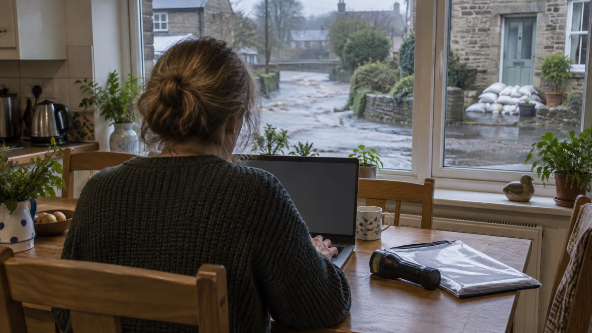
Signing up takes a postcode and a few minutes. In Scotland, SEPA's MyFloodline offers two useful variations. You can sign up using a postcode, or search by town or city to find the flood warnings that are available, which matters if you want warnings for more than one property address18. The same search by town or city works for registering a property that is not your own, such as a workplace or school18. Our page on getting warnings without email or for several addresses covers these cases, and how to sign up for free flood warnings walks through the registration itself.
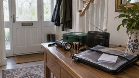
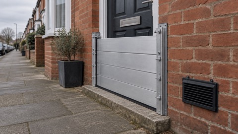
Once you are signed up, make sure the warnings can actually reach you and that you know what to do when one arrives. Floodline, 0345 988 1188, serves England, Scotland and Wales, and in Scotland you can enter a quick dial code when you call to hear flood messages for your area directly31. The Suffolk flood booklet gives the same number as the phone route to checking the risk where you live25. Then build the response in advance: a household flood plan, a checklist of what to do when a warning is issued, and, if your risk justifies it, door flood barriers or other measures fitted before the weather turns rather than during it.
Sources (31)
- Check the long term flood risk for an area in England, GOV.UK, 2026
- Flood management in Suffolk, Suffolk County Council, 2026
- Check your flood risk by postcode, Natural Resources Wales, 2026
- Prepare for flooding, GOV.UK, 2026
- National assessment of flood and coastal erosion risk in England 2024, Environment Agency, 2026
- Request flooding history, GOV.UK, 2026
- Preparing for a flood, London Fire Brigade, 2026
- Flood and coastal erosion risk management report, 1 April 2019 to 31 March 2020, Environment Agency, 2026
- Keeping safe during high winds and heavy rain, North Yorkshire Fire and Rescue Service, 2024
- Emergency kits and grab bags, Central Bedfordshire Council, 2026
- Flash flooding, GOV.UK, 2013
- Prepare your property for flooding, GOV.UK, 2009
- Adapting your home or business to the risk of flooding, GOV.UK, 2009
- Flood maps FAQs | Beta | SEPA | Scottish Environment Protection Agency, Scottish Environment Protection Agency (SEPA)
- Flood Guidance Statement, 8 February 2026, Flood Forecasting Centre, 2026
- Check your flood risk, Scottish Environment Protection Agency, 2026
- Understanding SEPA flood maps, Scottish Environment Protection Agency, 2026
- Flooding FAQs, Scottish Environment Protection Agency, 2026
- Check for flooding, GOV.UK, 2026
- Storms and gales, Lancashire Prepared, 2026
- Flood Guidance Statement, 28 January 2026, Flood Forecasting Centre, 2026
- Check an area's long term flood risk, Scottish Environment Protection Agency, 2026
- National Flood Risk Assessment 2025, Scottish Environment Protection Agency, 2025
- Check the risk of flooding in your area, nidirect, 2024
- Before, during and after a flood booklet, Suffolk County Council, 2021
- Personal responsibility for flooding, Derbyshire County Council, 2026
- Community flood plan, Natural Resources Wales, 2026
- Community flood plan template, GOV.UK, 2012
- During a flood, Nottinghamshire County Council, 2026
- Be prepared: public safety advice, West Midlands Ambulance Service NHS Foundation Trust, 2026
- Floodline live flood information quick dial codes, SEPA Floodline, 2026
 Flood Warning Checklist
 First Steps After a Flood
 Insurance Claim Records
 Types of Flooding
 Flood Alerts and Flood Warnings
 Flood Guidance Statement
 Wales Flood Warnings and Maps
 Making a Household Flood Plan
 Protecting Your Home
 Door Flood Barriers
 Sandbags and Alternatives
 Flood Doors and Windows
 Airbrick Covers
 Non-Return Valves and Bungs
 Sump and Submersible Pumps