The Met Office issued its first ever Red warning for extreme heat during the July 2022 heatwave, the forecaster's post-event review states. The same event produced its longest-range Amber warning ever, with a lead time of six days, followed by the Red warning1.
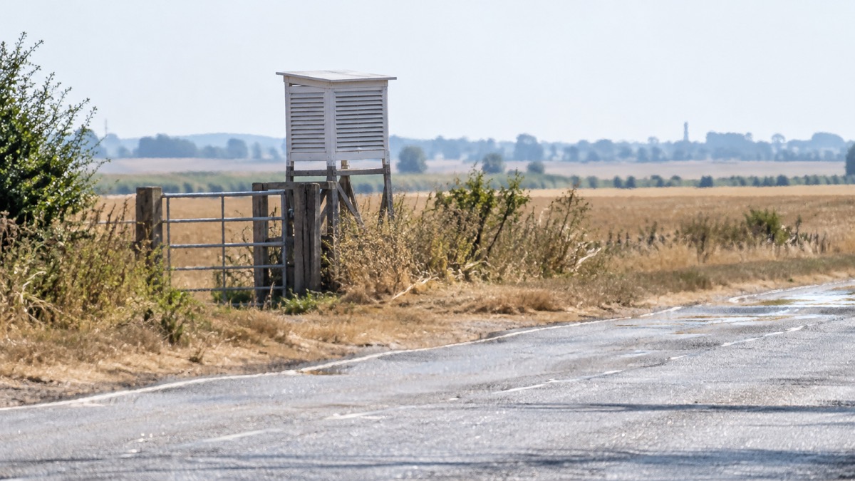
A new record daily maximum temperature was provisionally reached on 19 July, with 40.3°C recorded at Coningsby, Lincolnshire, exceeding the previous record by 1.6°C. A total of 46 stations across the UK exceeded the previous UK record of 38.7°C, and many long-running stations with records of more than 100 years recorded their highest ever temperature, some by margins of 3 to 4°C1. Records were set overnight too, when Kenley Airfield, Greater London, recorded a new highest minimum temperature of 25.8°C1.
New provisional national temperature records were also set for Wales and Scotland. On 18 July, 37.1°C was recorded at Hawarden Airport, Flintshire, while 35.1°C was reached at Floors Castle, Borders on 19 July1. The review states that 18 and 19 July 2022, 25 July 2019 and 10 August 2003 are the only occasions when 38°C has been recorded in the UK in observations extending back to the mid-19th century1.
The widespread nature of the heat meant that the average maximum temperature across the whole of the UK exceeded 30°C for the first time, and the UK had its two hottest days on record by this measurement in a series going back to 1960. The new highest average maximum temperature set on 19 July 2022 was 2°C higher than the previous value of 29.5°C set on 25 July 20191.
"The heat resulted in the Met Office issuing its longest-range Amber warning ever, with a lead time of six days and a subsequent Red warning for extreme heat; the first such one to be issued."
The Met Office's Mike Kendon, who produced the review, said temperatures on 18 July were exceptional but moved 2 to 4°C higher on 19 July, and that the heat broke the national record by 1.6°C across an extensive area of the country from Kent to North Yorkshire and from Suffolk to Warwickshire1. Met Office Chief Scientist Professor Stephen Belcher said that in a climate unaffected by human influence, climate modelling shows it is virtually impossible for temperatures in the UK to reach 40°C, and that under a very high emissions scenario temperatures exceeding 40 degrees could occur as frequently as every three years by the end of the century1.
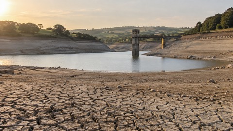
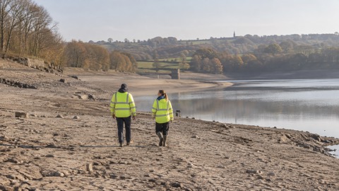
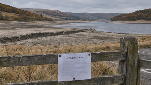
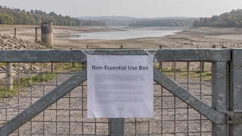
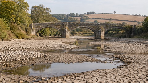
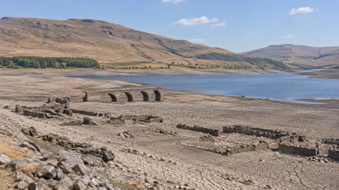
The Environment Agency's drought management framework for England records that the Met Office issued its first Red warning for extreme heat, and lists 2022 to 2023 among the notable droughts of the last 50 years. It describes 2022 as a short, intense drought, and notes that much of the UK saw extreme rainfall and flooding after the 2022 drought2.
Why it matters for households
The July 2022 event is the reference point for how the UK's heat warning system now works. The Met Office's weather warnings run from Yellow through Amber to Red, and the heat-health alert system uses the same colour levels. The Met Office's official definition of a heatwave sets the temperature thresholds that trigger alerts, and its heatwave and drought hub collects the guidance issued around them.
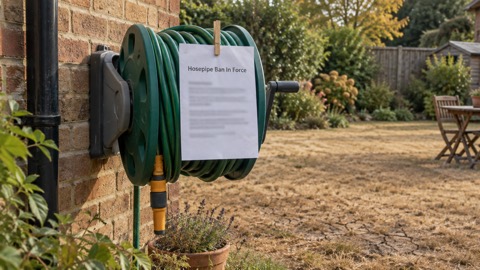
The Met Office review notes that heat-related impacts can be triggered by prolonged spells of warm summer weather, not just by the extreme temperatures seen in July 2022, and that looking ahead to early August 2022 temperatures were likely to remain above average across southern areas1. The Environment Agency states that a heatwave alone does not classify as a drought, but can exacerbate the problem by causing higher demand for water at a time when water is already scarce2. Its framework also states that if there has been a flash flood, or some rainfall during a drought, it does not always mean the drought is over, and that only when rainfall has fully replenished groundwaters, reservoirs and rivers would a drought be over2.
The Met Office review records that of the 30 hottest days by UK area averages, 14 have occurred this century, and that climate change is making UK heatwaves more frequent, intense and long-lasting1. Professor Belcher said reducing carbon emissions will help to reduce the frequency, but that the UK will still continue to see some occurrences of temperatures exceeding 40°C and will need to adapt to these extreme events1.
What happens next
The Met Office review, published on 22 July 2022, said that looking ahead to early August, temperatures were likely to remain above average across southern areas of the UK, which at that time of year can lead to warm and at times periods of hot or even very hot weather, while further north temperatures would likely be much closer to average with a greater risk of rain1. It said meteorologists are always monitoring the potential for hot air to be drawn up from mainland Europe across southern parts of the UK during the summer months and will highlight anything that becomes unusual if necessary1.
The Environment Agency framework, updated on 8 April 2026, states that by 23 March 2026 the country had fully recovered from drought, after rainfall at the end of the year brought most of the country to recovery in December, except for parts of the East and South2.
Sources (2)
- A milestone in UK climate history - Met Office, metoffice.gov.uk
- Drought: how it is managed in England - GOV.UK, gov.uk
 Heat-Health Alerts Explained
 Hot Weather Preparation
 Past UK Droughts and Heatwaves
 Met Office Weather Warnings
 Why UK Summers Are Hotter
 Who Is at Risk in Hot Weather
 UK Heatwave Definition