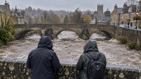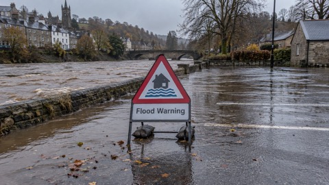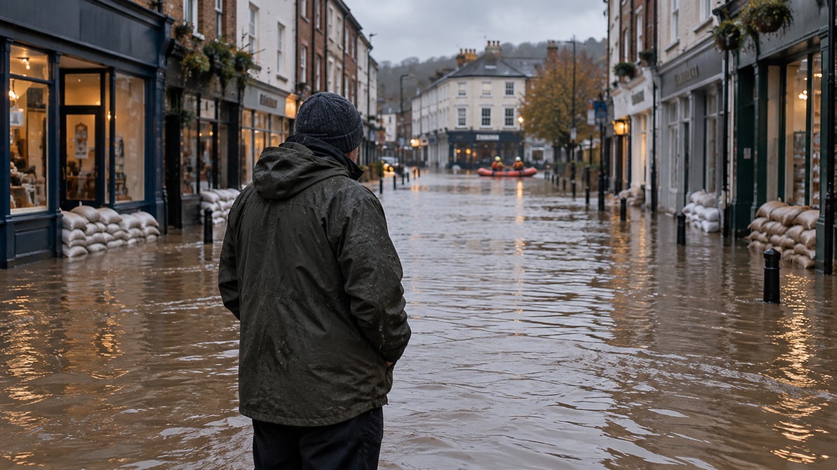
A major incident was declared in the early hours of Saturday 15 November 2025 after Storm Claudia brought heavy rain to east Wales and record river levels on the River Monnow, a tributary of the River Wye, according to Natural Resources Wales1. The agency reports that approximately 250 residential and business properties were flooded across Monmouthshire, describing it as the most severe and widespread flooding in living memory1.
Between 50 and 75mm of rain fell across large areas of east Wales, with 75 to 100mm locally, and the Tafalog rain gauge in the Wye catchment recorded 120mm in a 28 hour period1. River levels rose to 18 times the normal level and several severe flood warnings were issued1. Flood water inundated Skenfrith and Monmouth town centre, and a multi-agency response was needed to rescue residents, with significant impacts in both locations1. Elsewhere in Wales, around 50 properties were reported to have flooded across South East Wales and Denbighshire1.
The agency's annual report for 2025 to 2026 records that Monmouth has flood defences and had not experienced significant flooding for a number of years1. It states that defences can overtop, and that more frequent extreme weather means river level and flow records are being broken across Wales on a regular basis1.
The same report sets the event in a wetter context. Wales recorded its tenth wettest autumn since records began in 1836, with 37% above average rainfall, and from April 2025 to March 2026 there were 140 days of elevated flood risk, including 33 days of heightened flood risk1. It also records an earlier un-named storm on 4 November 2025, when Dyfed Powys police declared a major incident for parts of west Wales and 86 residential and 8 business properties were reported flooded across South Wales and Ceredigion1. Storm Bram followed on 8 to 10 December 2025, bringing prolonged rainfall and high winds, widespread transport disruption, power outages and very high river levels1.
| Measure | Figure reported |
|---|---|
| Rainfall, large areas of east Wales | 50 to 75mm |
| Rainfall, locally | 75 to 100mm |
| Tafalog rain gauge, Wye catchment | 120mm in 28 hours |
| Peak river level, Monnow at Monnow Gate | 6.6 metres just after midnight on 15 November |
| Properties flooded, Monmouthshire | Approximately 250 |
| Properties flooded, South East Wales and Denbighshire | Around 50 |
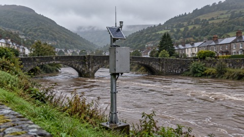
The river level figure comes from the report's chart of levels at Monnow Gate, which shows the peak just after midnight on 15 November before falling to around 3.8 metres over the next 24 hours1.
Why it matters for households
The report puts the number of properties at risk of flooding in Wales at an estimated 275,000, approximately 1 in 7, and gives the undefended total as 342,436 as of April 20251. It notes that some people had a false sense of protection from Monmouth's defences, and that what was deemed a good level of protection some years ago is not necessarily so now1. Natural Resources Wales issues flood warnings for main rivers, reservoirs and the sea, and its Flood Warning Information Services for Wales went live on 17 July 20241. The agency's #BeFloodReady awareness campaign ran from 6 to 10 October 20251. The report does not set out specific advice to households for future events beyond these points.
What happens next
The report records that updated climate allowances for peak river flows and extreme rainfall events, based on UKCP18 outputs, were published on 20 March 20261. No further timetable for Monmouth following the flooding has been reported.
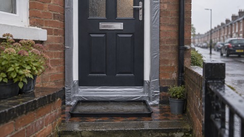
Households can check current warnings through Natural Resources Wales warnings and risk maps for Wales and the guide to flood alerts, flood warnings and severe flood warnings, and can read how to sign up for free flood warnings. The household guide to flooding covers what to do during a flood at home, types of flooding, flood defences and alleviation schemes, flood doors and flood windows and home insurance in a flood risk area and Flood Re.
Sources (1)
- Natural Resources Wales / Flood risk management annual report 2025 to 2026, naturalresourceswales.gov.uk
 Wales Flood Warnings and Maps