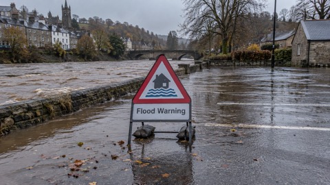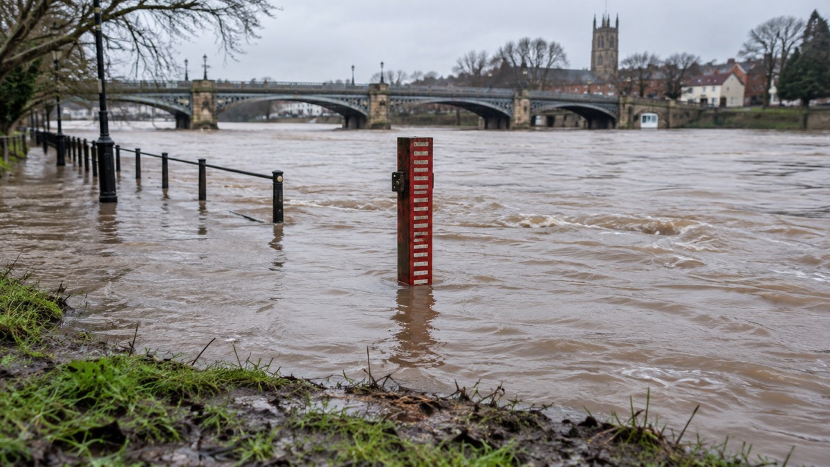
Storm Henk brought record levels, or close to record levels, to several of England's biggest river systems, the Environment Agency has said. In its national assessment of flood and coastal erosion risk in England, published on 5 August 2026, the agency said the Trent, Thames, Severn and Avon reached those levels as they drained huge volumes of rain from their catchments during the storm.
The assessment covers the winter of 2023 to 2024, when storms Babet, Ciarán and Henk affected hundreds of homes, businesses and farms. During Babet and Ciarán the agency issued over 750 flood warnings, including 5 severe flood warnings1. During Babet its Flood Warning System recorded its busiest day ever, with more than 5,500 new users registering for warnings and almost 400,000 messages sent in a single day1. The agency said its flood defences operated well during the winter storms, protecting around 250,000 properties, and that around 5,000 properties were flooded1.
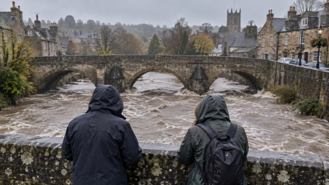
"storm Henk several of our biggest river systems - the Trent, Thames, Severn and Avon - saw record levels, or close to record levels, as they drained huge volumes of rain from their catchments"
The same assessment sets out the wider picture of flood risk in England. It states that around 6.3 million properties, homes and businesses, are in areas at risk of flooding from rivers, the sea, surface water or a combination, and that this could rise to around 8 million by mid-century with climate change1. Around 2.4 million properties are in areas at risk from rivers and the sea, slightly fewer than the previous assessment, while the number in areas at high risk from those sources is put at 367,900, an 88% increase on the previous assessment1. Of those at high risk, 163,300 are likely to flood to depths of 30cm or higher, and 87,500 to depths of 60cm or higher1.
| Measure | Figure |
|---|---|
| Properties in England at risk from one or more sources | around 6.3 million |
| Possible figure by mid-century with climate change | around 8 million |
| Properties at risk from rivers and the sea | around 2.4 million |
| Properties at high risk from rivers and the sea | 367,900 (88% increase on previous assessment) |
| High-risk properties likely to flood to 30cm or more | 163,300 (44% of high-risk properties) |
| High-risk properties likely to flood to 60cm or more | 87,500 (24% of high-risk properties) |
| Properties at risk from surface water | around 4.6 million (43% increase) |
The agency says the changes in the surface water figures do not reflect a real-world increase in risk, and are almost entirely due to improvements in data, modelling and technology1. It also says the assessment does not include groundwater flooding, because there are too many gaps in its understanding and evidence for groundwater flood risk at this time, and that it was not developed or tested for insurance underwriting or setting insurance premiums1.
Why it matters for households
The record river levels were recorded during Storm Henk in early January 2024, and the figures above describe the national picture as the Environment Agency now assesses it. Households in areas at risk from rivers and the sea, or from surface water, are the ones the assessment counts. The agency says detailed local mapping is being made available through GOV.UK digital services from early 2025, with new assessment data on the check your long term flood risk service and on data.gov.uk in early 2025, and an update to the flood map for planning service in spring 20251. The agency's flood warnings, including severe flood warnings, are the mechanism by which households in affected areas are told of imminent flooding; the assessment records the volume of warnings and sign-ups during the 2023 to 2024 storms1. On insurance, the agency states that its assessment is not used for underwriting or premiums, and that insurers use their own methodologies and may combine its information with other data1.
What happens next
The Environment Agency says it is committed to a rolling programme of data improvements, and is developing a new flood and coastal investment programme using the new assessment and the updated coastal erosion map, to prioritise places and projects where current and future risk is greatest1. It also says updated shoreline management plans were published in January 20241.
Households can read about the types of flooding that affect homes, how flood alerts, flood warnings and severe flood warnings differ, and what to do during a flood at home. There is also guidance on home insurance in a flood risk area and Flood Re, on flood doors and flood windows, and on coastal flooding, tidal surges and erosion. The flooding hub collects these guides.
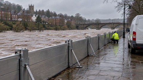 Types of Flooding
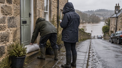 Flood Alerts and Flood Warnings