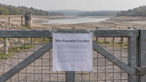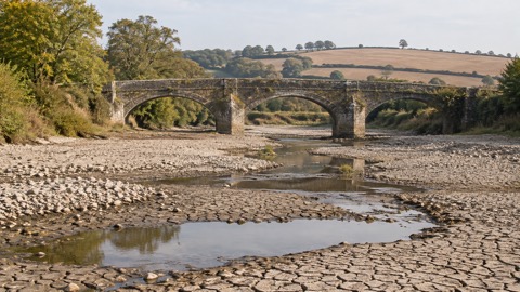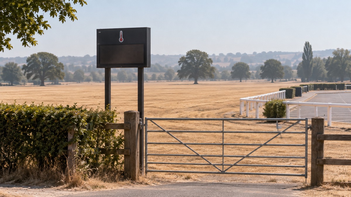
The Met Office reported on 10 July 2026 that temperatures of 35°C or higher have been recorded in May, June and July of the same year for the first time in the UK weather record, as heatwave conditions continued through the weekend and into the following week1. The agency also reported a record eight days with temperatures exceeding 34°C, surpassing the previous record held by 1976 and 20201.
Amber and yellow heat health alerts issued by the UK Health Security Agency (UKHSA) remained in place across large parts of England until Sunday, the Met Office said on 10 July1. An earlier Met Office statement on 8 July said the alerts meant significant impacts were likely across health and social care services due to the high temperatures, and that many areas were experiencing their third heatwave of the year2. On 13 July the Met Office reported that heat health alerts remained in place, with temperatures likely to peak around 30°C to 32°C across parts of England and Wales3.
Forecasts issued on 10 July put Friday at 33°C to 35°C in some parts of central and western England and also Wales, with temperatures possibly rising to 30°C in southern Scotland and 27°C in Northern Ireland1. Saturday was forecast to see highs of 32°C to 34°C in Wales and southwest England, 25°C in Northern Ireland and 27°C in Scotland, with many southern and western parts expected to remain above 30°C over the weekend and into the following week1. The Met Office said the main exception to the largely dry and sunny conditions was northern Scotland, where a cold front brought rain, cloud and some heavy downpours on Friday1. By 13 July it reported that the east and northeast coast would feel cooler with breezy, cloudy conditions and temperatures in the high teens, and that showers and thunderstorms were possible in isolated spots in the south of England on Wednesday and Thursday3.
The warm and dry conditions, coupled with freshening winds, were expected to result in extreme wildfire conditions for many parts of England and Wales over the following few days, the Met Office said1. On 13 July it reported that extreme wildfire conditions would persist for much of the coming week, with gusty easterly winds3.
"When the weather stays hot and dry, it only takes one spark to start a wildfire. What can begin as a small fire can spread incredibly quickly, putting people, homes, wildlife and our countryside at risk."
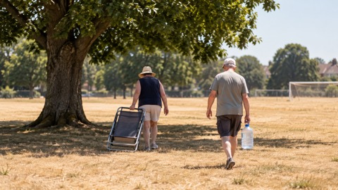
The Met Office advised people to take sensible precautions in the heat, including staying hydrated, avoiding prolonged exposure to the sun during the hottest part of the day, and checking on vulnerable friends, family and neighbours1. It said UV levels were expected to be high or very high across many parts of the UK throughout the week, and pollen levels high or very high in some areas1. On water safety, it said seas and river temperatures were low enough to cause cold water shock when 15°C or lower, and advised wearing a wetsuit if planning to spend any length of time in the water1. Lee Pooley, Head of Safety at Paddle UK, said offshore winds were a primary cause of emergency callouts, and advised everyone to check the weather and wind direction before heading out, and not to go if the wind is blowing away from the shore1.
Why it matters for households
The heat health alerts cover large parts of England, and the Met Office said they mean significant impacts are likely across health and social care services1. The alerts were reported as remaining in place until Sunday in the 10 July statement, and as still in place on 13 July1. The Met Office's stated precautions for households are staying hydrated, avoiding prolonged sun exposure during the hottest part of the day, and checking on vulnerable friends, family and neighbours1. The wildfire conditions reported for many parts of England and Wales affect anyone spending time outdoors in the countryside, parks or moorlands; the National Fire Chiefs Council asked people to avoid disposable barbecues in those places and to make sure cigarettes are fully extinguished1. The Met Office's heat-health alerts guide explains the yellow, amber and red levels, and its heatwave definition page sets out the Met Office thresholds. For symptoms of heat illness, the site's guide on when to call 999 or NHS 111 covers the signs to watch for, and how to sign up for heat-health alerts explains the alert service. The Met Office has also linked the warmth to its wider rising temperature trends coverage.
What happens next
The Met Office said on 13 July that by the weekend high pressure would build back in from the northwest, reducing the shower risk and bringing a return to more widely settled, dry and still warm conditions, with temperatures easing slightly by Saturday compared with the midweek peak3. It said there was a possible increase in thunderstorms from Monday in parts of the south, though most areas would remain dry, sunny and very warm into the coming week1. No end date for the heat health alerts beyond the Sunday mentioned on 10 July has been reported1.
Sources (3)
- Heatwave continues as UK records unprecedented run of 35°C days - Met Office, metoffice.gov.uk
- Prolonged spell of hot weather continues into next week - Met Office, metoffice.gov.uk
- Heatwave continues with little rain in the forecast - Met Office, metoffice.gov.uk
 Why UK Summers Are Hotter
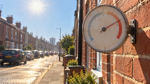 UK Heatwave Definition
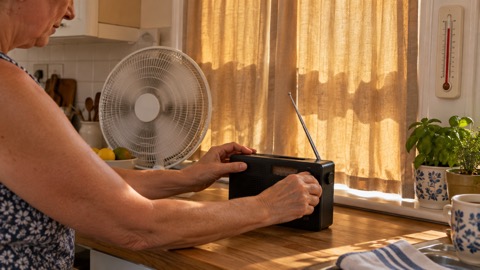 Heat-Health Alerts Explained
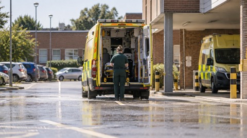 Calling 999 for Heat Illness