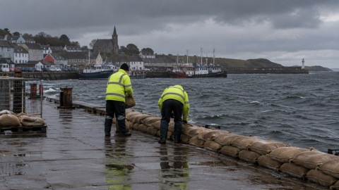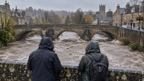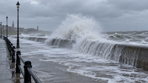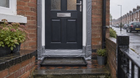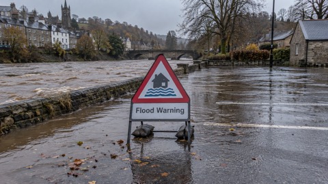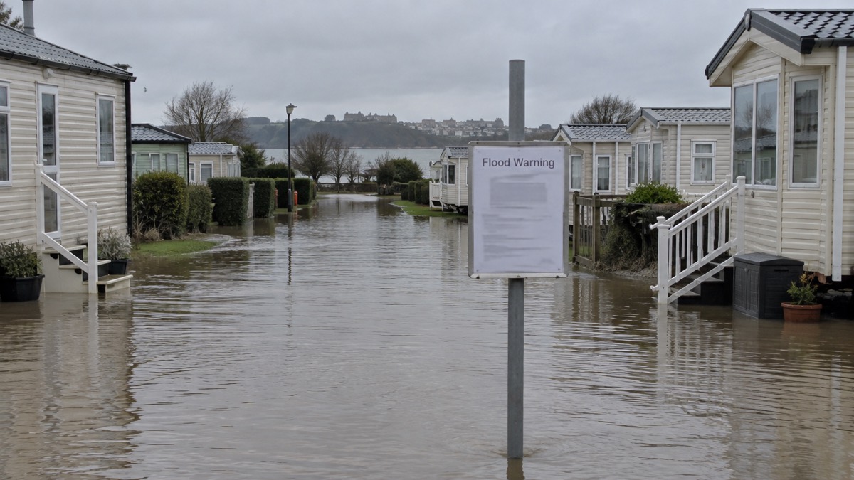
Heavy rainfall falling on already saturated ground led to widespread flooding of roads and low lying areas in West Wales on 1 December 2025, with Pembrokeshire particularly badly affected1. Roads around Pembrokeshire were closed because they were impassable from flood water, and the Kiln Park holiday park in Tenby was closed due to flooding1. The event is recorded in Natural Resources Wales's flood risk management annual report for 2025 to 2026 as an unnamed storm1.
The report places the event in a wet autumn and winter. Wales recorded its tenth wettest autumn since records began in 1836, with rainfall 37% above average, and the unsettled pattern continued into the winter with heavy rainfall event after heavy rainfall event1. Between April 2025 and March 2026 there were 140 days of elevated flood risk (minor forecast impacts and above), including 33 days of heightened flood risk (significant forecast impacts and above)1.
The same report describes earlier events in the season. On 4 November 2025, very heavy rainfall led to a major incident being declared by Dyfed Powys police for parts of west Wales, with people rescued by the fire service in Whitland, Carmarthen, Kidwelly and St Clears, a severe flood warning issued for Kiln Park holiday park in Tenby, and 86 residential and 8 business properties reported as flooded across South Wales and Ceredigion1. Storm Claudia on 14 to 15 November 2025 brought 50 to 75mm of rain across large areas of east Wales, with 75 to 100mm locally and record river levels on the River Monnow; around 250 residential and business properties were flooded across Monmouthshire1. Storm Bram followed on 8 to 10 December 2025, bringing prolonged rainfall and high winds across Wales, with widespread transport disruption, power outages and very high river levels1.
"Heavy rainfall falling on already saturated ground led to widespread flooding of roads and low lying areas in West Wales with Pembrokeshire particularly badly affected."
| Date | Event | Reported effects |
|---|---|---|
| 4 November 2025 | Unnamed storm | Major incident declared by Dyfed Powys police for parts of west Wales; rescues in Whitland, Carmarthen, Kidwelly and St Clears; severe flood warning for Kiln Park, Tenby; 86 residential and 8 business properties flooded across South Wales and Ceredigion1 |
| 14 to 15 November 2025 | Storm Claudia | 50 to 75mm of rain across large areas of east Wales, 75 to 100mm locally; record river levels on the River Monnow; around 250 residential and business properties flooded across Monmouthshire1 |
| 1 December 2025 | Unnamed storm | Widespread flooding of roads and low lying areas in West Wales; Pembrokeshire particularly badly affected; roads closed; Kiln Park holiday park in Tenby closed1 |
| 8 to 10 December 2025 | Storm Bram | Prolonged rainfall and high winds; widespread transport disruption, power outages and very high river levels1 |
Why it matters for households
Natural Resources Wales estimates there are 275,000 properties at risk of flooding in Wales, approximately 1 in 7 properties, and gives the undefended sum of properties at risk as 342,436 as of April 20251. The report notes that defences can overtop, and that with the changing climate what was deemed a good level of protection some years ago is not necessarily so now1. For households in Pembrokeshire and elsewhere in West Wales, the 1 December event closed roads and a holiday park in Tenby; the report does not give a count of homes flooded in that event, and no such figure has been reported1.
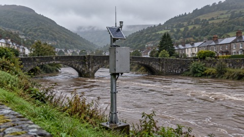
Natural Resources Wales issues flood warnings for Wales, and its flood risk forecasts are shared with the public through its website1. The report records that its Flood Warning Information Services for Wales went live on 17 July 2024, and that its annual #BeFloodReady awareness campaign ran from 6 to 10 October 20251. The Flooding: A Household Guide sets out household preparation, and the Wales: Natural Resources Wales Warnings and Risk Maps page covers how warnings and risk maps for Wales work. The Flood Alerts, Flood Warnings and Severe Flood Warnings page explains the three levels, and How to Sign Up for Free Flood Warnings covers registration. Because this event involved surface water on saturated ground as well as rivers, the Types of Flooding: River, Sea, Surface Water and Groundwater page is relevant, and The Flood Guidance Statement and Five-Day Forecasts explains the five-day outlook the report cites.
What happens next
The report states that updated allowances were published on 20 March 2026, including updated allowances for peak river flows and extreme rainfall events based on outputs from UKCP181. It also records that the Welsh Government published a revised planning policy, TAN15: Development, Flooding and Coastal Erosion, on 31st March 20251. Natural Resources Wales reports that its new telemetry system, Tanio, part of a £6m investment project, will go live in early 2026/271. No further warnings or operational steps specific to the 1 December flooding in West Wales are set out in the report1.
Sources (1)
- Natural Resources Wales / Flood risk management annual report 2025 to 2026, naturalresourceswales.gov.uk
 Wales Flood Warnings and Maps