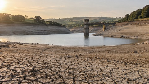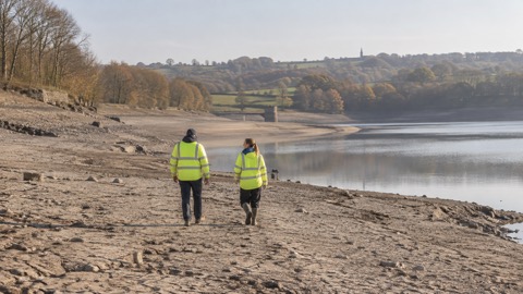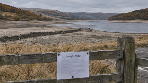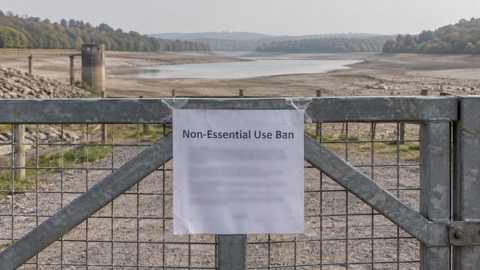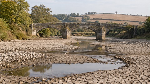
Oxfordshire experienced record-breaking maximum temperatures of 38.1 °C in July 2022, according to Oxfordshire County Council's published account of climate risk in the county. The council, which is the lead local flood authority and holds a wide range of emergency planning functions, sets the figure alongside other recent weather records for the county.
The same page records that 2025 was the hottest year on record to date, and that the first seven months of 2025 were the driest months in Oxfordshire since 1976. It also states that September 2024 was Oxford's wettest month since 1774. The council reports that the average surface temperature in the UK has already risen by 1.2 Celsius since pre-industrial times, and that efforts are underway to limit global average warming to below 1.5 Celsius.
The council cites Met Office climate projections showing an increased likelihood of warmer, wetter winters; hotter, drier summers; and increased frequency and intensity of extreme weather. It says that even if the 1.5 Celsius target is achieved, Oxfordshire can still expect significant changes to its climate.
"Severe and/or prolonged weather events can disrupt transport networks, utilities, and supply chains; damage property and infrastructure; and create sustained surges in demand for council services, particularly in flood-affected and vulnerable communities."
The council states that Climate Risk is recognised as a risk to its operations and is included on its Strategic Risk Register. It lists risk control measures including business continuity planning, supporting communities to develop Community Emergency Plans, delivering the Heat Safe Homes project, implementing the Local Flood Risk Management Strategy, delivering the OCC Priority Flood Grants scheme and expanding the Oxfordshire Volunteer Flood Warden Scheme. It also says it is working with stakeholders to implement the actions in the Oxfordshire Climate Adaptation Route Map.
Why it matters for households
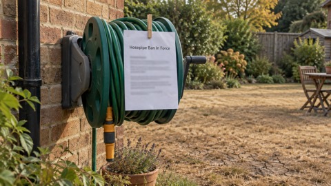
The records set out by the council describe the conditions households in Oxfordshire have faced in recent years: extreme summer heat, a prolonged dry spell and, separately, exceptional monthly rainfall. The council says severe or prolonged weather can disrupt transport networks, utilities and supply chains, damage property and infrastructure, and create sustained surges in demand for council services, particularly in flood-affected and vulnerable communities. Its account places households in flood-affected and vulnerable communities among those most exposed.
The council points residents to tools for checking local exposure, including a flood risk map for communities and a postcode check for vulnerability to extreme heat. It also cites the climate risk indicators website, developed through the UK Climate Resilience Programme and funded by UKRI and the Met Office, and the UK Climate Impacts Programme's Adaptation Wizard, a five-step process to help organisations adapt to climate change. The council's Tree Policy recognises trees as a critical component of climate change adaptation infrastructure.
The background to these events, including the 1976 drought and the 2022 heat, is set out in the guide to past UK droughts and heatwaves, and the wider trend in why UK summers are getting hotter and drier is covered separately. The heatwaves and drought hub collects the related guidance.
What happens next
The council says it is actively working with partners across Oxfordshire to identify areas of vulnerability to a changing climate and to take steps to make the county more climate resilient. No dates for further records or for the completion of the listed measures are given in its account.
Sources (1)
- Climate risk in Oxfordshire | Oxfordshire County Council, oxfordshire.gov.uk
 Past UK Droughts and Heatwaves
 Why UK Summers Are Hotter