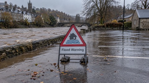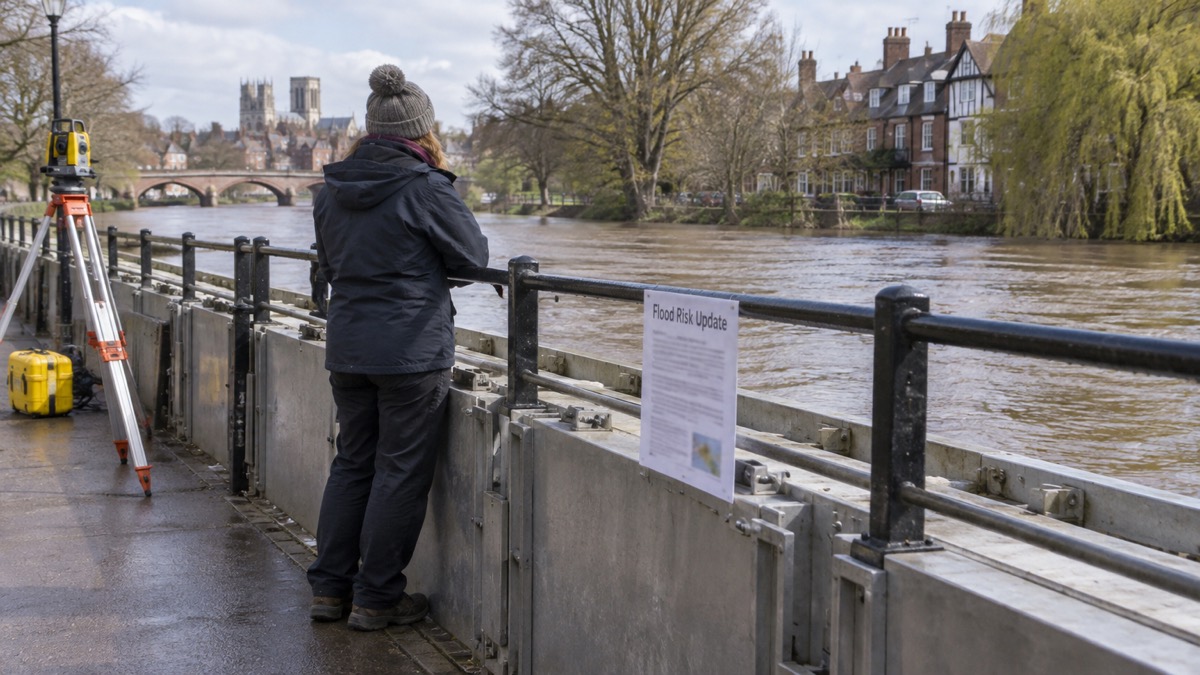
The Environment Agency has said it will update its flood map for planning service in spring 2025, adding climate change effects on river and sea flood risk, mapping that accounts for existing defences, and surface water flood risk for the first time1. The change follows a new National Flood Risk Assessment (NaFRA), the first full update since 2018, which for the first time accounts for the latest UK Climate Projections (UKCP18)1.
The agency said the new NaFRA data would be published in early 2025 on its check your long term flood risk service and on data.gov.uk, with detailed local mapping made available through GOV.UK digital services from early 20251. The new assessment puts around 6.3 million properties in England in areas at risk of flooding from rivers, the sea, surface water or a combination, a figure that could rise to around 8 million by mid-century with climate change1. Around 2.4 million properties are in areas at risk from rivers and the sea, and 367,900 in areas at high risk from those sources, an 88% increase on the previous assessment1. Of those at high risk, 163,300 are likely to flood to depths of 30cm or higher, and 87,500 to depths of 60cm or higher1.
The agency said the better modelling in the new NaFRA provides a 2 metre resolution, against 50 metres for the current Risk of Flooding from Rivers and Sea maps1. It said the assessment does not include groundwater flooding because there are too many gaps in understanding and evidence for groundwater flood risk at this time, and that NaFRA was not developed or tested for insurance underwriting or setting insurance premiums1.
"In spring 2025 we will be updating our flood map for planning service which displays the flood zones."
| Change | Detail |
|---|---|
| Climate change effects | River and sea flood risk mapped under UKCP18 projections, using the central allowance based on the 50th percentile from UKCP18, RCP 8.51 |
| Defences | Mapping with existing flood defences included1 |
| Surface water | Surface water flood risk shown in the planning service for the first time1 |
| Resolution | 2 metre resolution in the new NaFRA, against 50 metres for current river and sea maps1 |
| Depth bands | Less than 30cm; between 30cm and 60cm; greater than 60cm1 |
Why it matters for households
The planning service is used to inform planning authorities, and the agency says NaFRA is designed to inform planning authorities and emergency responders as well as provide publicly available flood risk information1. For households, the practical change is in the public flood risk information available: the new data appears on the check your long term flood risk service from early 2025, and the planning map follows in spring 20251. The agency states that NaFRA was not developed or tested for insurance underwriting or setting premiums, and that insurers use their own underwriting methods and may combine NaFRA-derived information with other data1. The assessment covers England1.
The agency reports wide regional variations in flood risk, and says the detailed local mapping will help customers understand what the new information means for them1. It also reports that around a third of roads (38%) and around a third of railways (37%) are in areas at risk from one or more sources of flooding, rising to 46% and 54% respectively by mid-century under climate change projections1.
What happens next
The agency said it will publish the new NaFRA data on check your long term flood risk and on data.gov.uk in early 2025, and update the flood map for planning service in spring 20251. It said it is committed to a rolling programme of data improvements and is developing a new flood and coastal investment programme using the new NaFRA and the updated National Coastal Erosion Risk Map1.
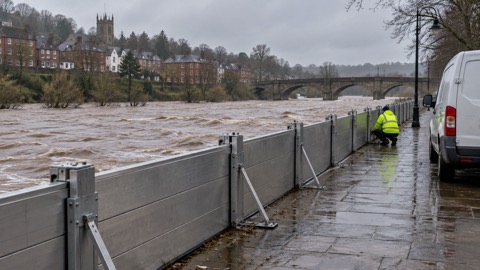
Households can check their home's risk using the guide to checking your home's flood risk by postcode, and the guide to types of flooding explains the sources covered, including why groundwater is not part of this assessment. The guide to flood defences and alleviation schemes covers how defences are counted, and home insurance in a flood risk area and Flood Re sets out how insurance works separately from these maps. For warnings, see flood alerts, flood warnings and severe flood warnings.
 Types of Flooding
 Checking Flood Risk by Postcode