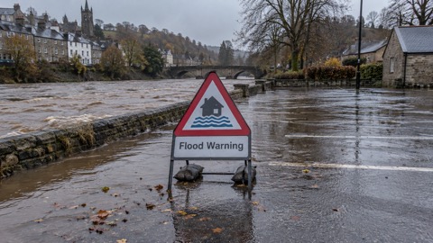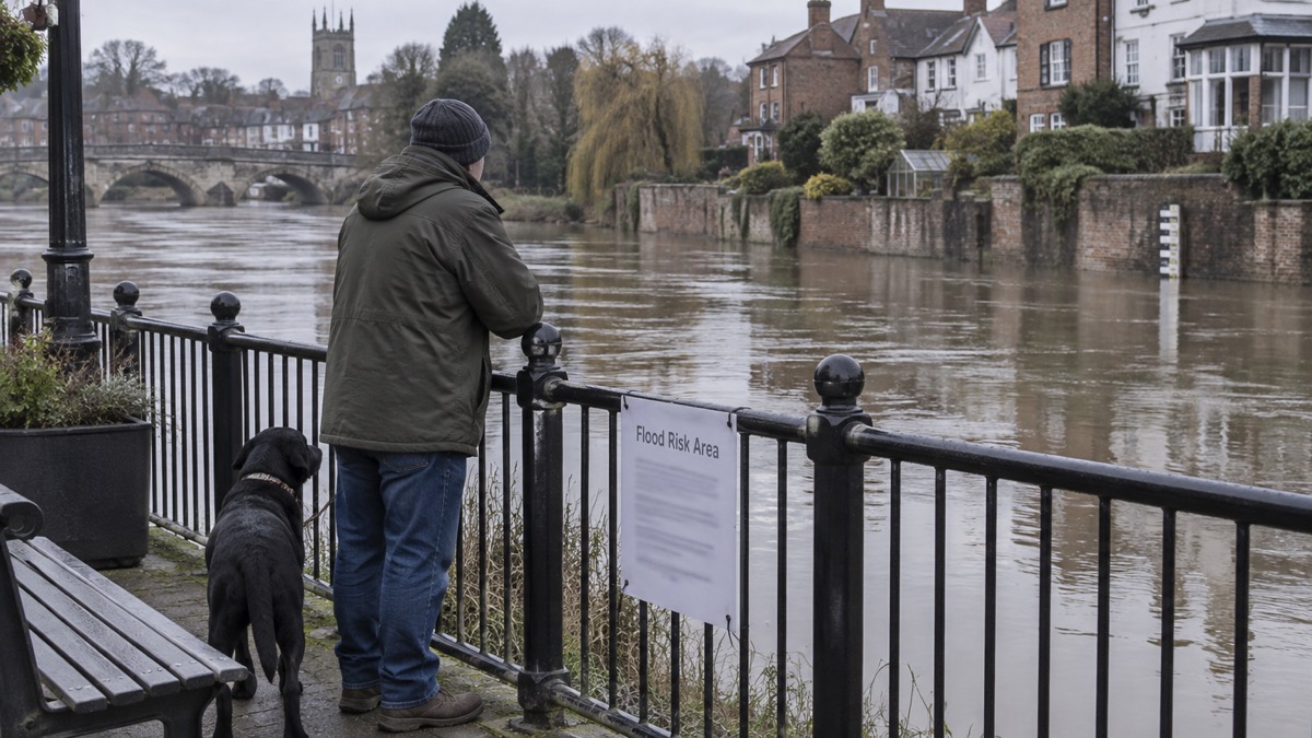
The flood risk mapping behind the Environment Agency's online flood risk tool was updated on 28 January 2025, according to Cornwall Council's guidance on insurance for properties at flood risk1. The council states that the update may affect the flood risk listed for a property1. The same guidance says the tool shows the Environment Agency's view of the likelihood of flooding from rivers, the sea, surface water and reservoirs1.
The update sits within a wider release of revised national risk data. Community Action Norfolk reports that the Environment Agency released updated data for the National Flood Risk Assessment (NaFRA), last revised in 2018, and introduced a new National Coastal Erosion Risk Map (NCERM)2. It says the updated NaFRA covers current and future flood risk from rivers, the sea and surface water, and adds climate change projections and flood depth estimations2. It describes the NCERM as the first nationwide assessment of coastal erosion risk, available through a coastal erosion risk checker and a Shoreline Management Plan explorer2. The Environment Agency's updated risk data is being released in phases2.
The two accounts differ in emphasis. Cornwall Council dates the mapping update to 28 January 2025 and frames it around the flood risk tool1; Community Action Norfolk, writing on 19 February 2025, describes a broader release of NaFRA and NCERM data with potential changes in risk levels for some homes and businesses2. Neither source gives a list of areas whose listed risk has changed.
Cornwall Council sets out limits to the tool that households may notice when checking a postcode. It accounts for flood defences, although there may be a lag after new defences are built while the risk is remodelled1. It does not account for flood depth, so cannot distinguish between a ground floor and a second floor flat1. The council also states that the tool is not intended to be used for individual properties, and that even where a home is not affected it is important to be aware of and prepared for flooding in the local area1.
"The flood risk mapping behind this tool was updated on 28th January 2025 . This update may affect the flood risk listed for your property."
Why it matters for households
A household that has previously checked its postcode may now see a different level of risk listed, and the guidance states this may affect the flood risk listed for a property1. The tool covers rivers, the sea, surface water and reservoirs, and accounts for defences subject to the lag described above1. For a property specific view, Cornwall Council says Insurance Related Requests (IRRs) provide detailed information on the specific risk to a property, and that the Environment Agency provides them; requests go to DCISenquiries@environment-agency.gov.uk1. The council says insurers may accept additional information about an individual property's flood risk from reliable sources, such as an independent survey or flood risk assessment1.
On insurance, the council says the Flood Re scheme began in April 2016 and enables participating insurers to pass the flood risk element of any home insurance policy to Flood Re1. It says Flood Re's Build Back Better scheme offers up to £10,000 to install Property Flood Resilience measures when repairing a property after a flood, and that these improvements could reduce repair time to a number of days rather than months1. The council's stated options for reducing a premium include getting an IRR from the Environment Agency and sending it to an insurer, which may use it to adjust the premium1. It advises checking for an admin fee before cancelling a policy, and not switching provider before alternate cover is in place, otherwise the home will not be insured1.
Community Action Norfolk says residents in England can check long-term flood risk levels in their areas and sign up for flood warnings where available2. The Environment Agency's Floodline service can be contacted on 0345 988 1188 or at enquiries@environment-agency.gov.uk1. Households can check their risk by postcode using our guide to checking your home's flood risk by postcode, and read about flood alerts, flood warnings and severe flood warnings. Our flooding hub covers the wider picture, with separate guides on home insurance in a flood risk area and Flood Re, what Build Back Better means for a claim and property flood resilience grants.
What happens next
The Environment Agency's updated risk data is being released in phases, incorporating new modelling techniques and climate change scenarios2. No further dates for later phases have been reported.
Sources (2)
- Insurance for properties at risk of flooding - Cornwall Council, cornwall.gov.uk
- Environment Agency Releases Updated Flood and Coastal Erosion Risk Data | Community Action Norfolk, communityactionnorfolk.org.uk
 Checking Flood Risk by Postcode