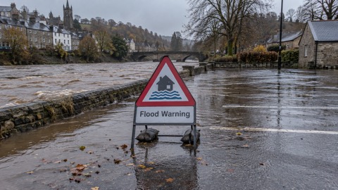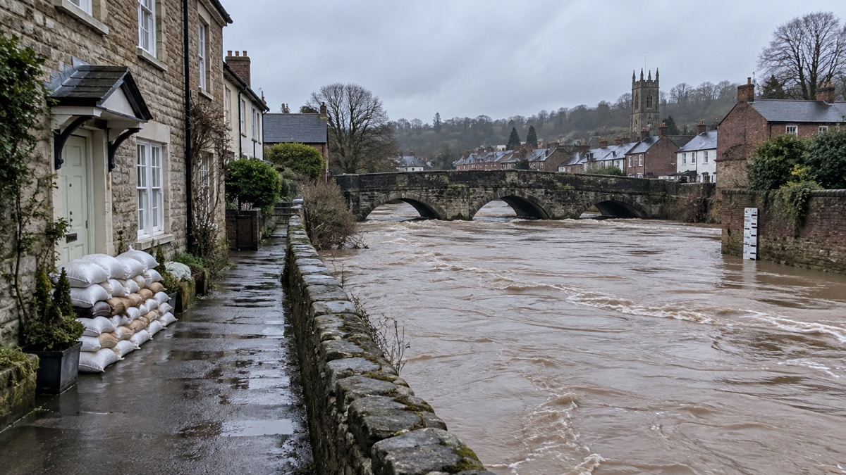
The Environment Agency published the national assessment of flood and coastal erosion risk in England 2024 on 17 December 2024, according to its flood and coastal erosion risk management report for 1 April 2024 to 31 March 20251. The assessment shows that around 6.3 million homes and businesses in England are in areas at risk from flooding1.
The report states that this is around one in five homes across England, and that the figure rises to one in four homes by the mid-century because of climate change1. It says the updated national flood risk assessment (NaFRA) is the latest picture of current and future flood and coastal erosion risk and that, for the first time, it includes changes in risk that may occur with climate change1. The same update covers coastal erosion: the national coastal erosion risk map shows that 3,500 properties are at risk of coastal erosion by 20551. The report says the Flood Map for Planning Service now includes data from the new NaFRA, so that planners and developers can account for flood risk in the location and design of developments1.
The report also sets out the flooding recorded in the year it covers. Around 5,000 properties were reported as flooded across the country, while flood and coastal defences protected around 167,000 properties1. England experienced 7 named storms: Kathleen, Lilian, Ashley, Bert, Conall, Darragh and Eowyn1. Around 1,600 properties flooded across England during Storm Bert, and defences protected around 35,800 properties1. During Storm Darragh, the report says the Met Office issued a rare red weather warning for wind, with speeds of up to 90mph affecting some coastal areas1.
"It shows that around 6.3 million homes and businesses in England are in areas at risk from flooding."
| Measure | Figure |
|---|---|
| Homes and businesses in areas at risk from flooding | around 6.3 million1 |
| Share of homes at risk, rising by mid-century | one in five, rising to one in four1 |
| Properties at risk of coastal erosion by 2055 | 3,5001 |
| Properties reported flooded, 1 April 2024 to 31 March 2025 | around 5,0001 |
| Properties protected by defences in the same period | around 167,0001 |
Why it matters for households
The assessment gives households in England a national picture of how many homes and businesses sit in areas at risk from flooding, and the report says the share of homes at risk is expected to rise from one in five to one in four by the mid-century because of climate change1. The coastal erosion map identifies 3,500 properties at risk by 20551. The report also describes work on warnings: over the year the Environment Agency was building and testing a new warning service, ahead of an anticipated launch later in 20251. The report does not give household level risk figures for individual areas, and no property by property breakdown has been reported.
What happens next
The report records that in February 2025 the government announced a record £2.65 billion will be invested over 2 years to build, maintain and repair flood defences across England, which the report says will better protect 52,000 properties by March 20261. It also records that in March 2025 the government announced an additional £16 million for the IDB Storm Recovery and Asset Improvement fund, increasing the fund to a total of £91 million1. The new warning service was anticipated to launch later in 20251.
Households can read more on flooding, including flood alerts, flood warnings and severe flood warnings, coastal flooding, tidal surges and erosion, property flood resilience grants and home insurance in a flood risk area and Flood Re.