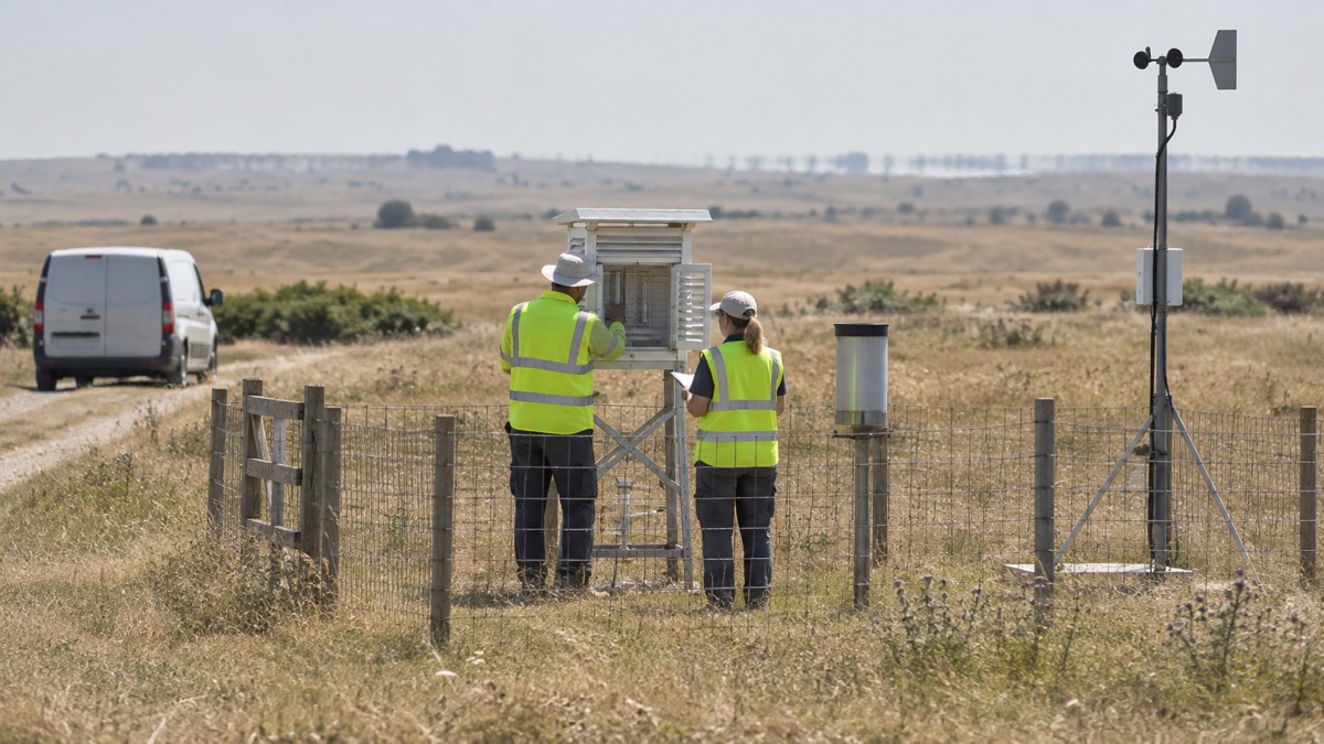
Met Office scientists published a study detailing the increasing likelihood of extreme temperatures in the UK, the Met Office announced on 19 June 2025. The study found that the chance of exceeding 40°C has been rapidly increasing and is now over 20 times more likely than it was in the 1960s1.
The scientists estimate a 50-50 chance of seeing a 40°C day again in the next 12 years, and found that temperatures several degrees higher than those seen in July 2022 are possible in today's climate1. The announcement came as the Met Office forecast rising temperatures across the UK, with the highest values expected on Saturday, when 34°C could be reached in eastern England. Friday was forecast to bring highs of 32°C in central England1.
The Met Office also issued a Yellow Severe Weather warning for thunderstorms for the Midlands, northern England and parts of north Wales, running from 15:00 on Saturday to 04:00 on Sunday. It said many places will likely remain dry and unaffected, but scattered thunderstorms may develop during Saturday afternoon, moving northeastwards and clearing to the North Sea by the early hours of Sunday. The most intense could produce frequent lightning, large hail, gusty winds and heavy downpours, which may lead to some surface water impacts in places1.
The UK Health Security Agency (UKHSA) issued an Amber Heat Health Alert for the whole of England. The Met Office said the alert is aimed at the health and social care sector, the responder community, the voluntary and community sector and government departments when adverse temperatures are likely to impact on the health and wellbeing of the population1.
"Our findings show that heat can result in serious health outcomes across the population, especially for older adults or those with pre-existing health conditions."
Dr Sousa added that it is important to check on friends, family and neighbours who are more vulnerable and to take sensible precautions while enjoying the sun. He said the forecast high temperatures may also lead to increasing demand for remote health care services and an impact on the ability of services delivered due to heat effects on the workforce1.
| Area | Forecast or warning |
|---|---|
| Eastern England | Up to 34°C possible on Saturday |
| Central England | Highs of 32°C possible on Friday |
| England (widely) | Low 30s Celsius fairly widely on Saturday |
| Midlands, northern England, parts of north Wales | Yellow warning for thunderstorms, Saturday 15:00 to Sunday 04:00 |
| East Anglia and far southeast of England | 28-29°C possible for a time on Sunday |
Source: Met Office1
The Met Office said the nights will also be quite warm, with the possibility of temperatures not falling below 20°C in some areas, making it hard to sleep, which it terms a "tropical night". Temperatures are expected to ease from the west on Sunday as fresher air arrives from the Atlantic1. The Met Office also said high pollen levels will bring challenges for hay fever sufferers and UV levels will be high1.
Why it matters for households
The amber alert covers the whole of England and is aimed at health and social care, responder and voluntary organisations and government departments, so households in England fall within a period when adverse temperatures are likely to affect health and wellbeing1. The Met Office and UKHSA both point to older adults and people with pre-existing health conditions as especially at risk, and UKHSA says it is important to check on friends, family and neighbours who are more vulnerable1. The thunderstorm warning covers the Midlands, northern England and parts of north Wales from Saturday afternoon into Sunday morning, with surface water impacts possible in places1. Warm nights with temperatures not falling below 20°C in some areas may make sleep difficult1. The study's findings on rising extreme heat are set out in the site's guide to why UK summers are getting hotter and drier, within the heatwaves and drought section.
What happens next
Temperatures are forecast to drop on Sunday, though the far east of England could hold temperatures up to 28°C through the day. Elsewhere, westerly conditions will bring fresher air, cloud and outbreaks of rain, expected to continue through next week with spells of brighter and drier weather too1. The thunderstorm warning runs until 04:00 on Sunday1.
Sources (1)
- Temperatures rise with heatwave conditions into the weekend - Met Office, metoffice.gov.uk
 Why UK Summers Are Hotter