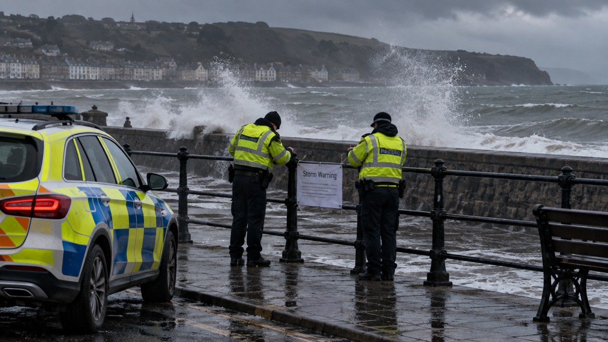
The alert was sent as Storm Darragh, the fourth named storm of the 2023/2024 storm season, brought very strong winds to western parts of England and Wales on 6 and 7 December 20241. The Met Office issued a red warning for wind covering West Wales and both coasts of the Bristol Channel, with winds gusting at 60 to 70Kt (69 to 81mph) or higher in those areas1. The red warning ran from 0300 UTC to 1100 UTC on Saturday 7 December 20241. Met Éireann, the Irish national meteorological service, also issued a red warning for wind1.
"Several million people received a government emergency alert on their mobile phones on the evening of Friday 6th December giving advice about the storm."
The highest gust recorded was 83Kt (96mph) at Berry Head, Devon, which was its highest December gust in a 30-year record1. Other maxima included 81Kt (93mph) at Capel Curig, Conwy, 80Kt (92mph) at Aberdaron, Gwynedd, 74Kt (85mph) at Aberporth, Ceredigion, 69Kt (79mph) at Valley, Anglesey and 68Kt (78mph) at Orlock Head, County Down1. At Aberporth, hourly maximum gusts exceeded 50Kt (59mph) from 2300 UTC on 6 December to 0400 UTC on 8 December, a period of 30 hours1.
| Location | Highest gust |
|---|---|
| Berry Head, Devon | 83Kt (96mph) |
| Capel Curig, Conwy | 81Kt (93mph) |
| Aberdaron, Gwynedd | 80Kt (92mph) |
| Aberporth, Ceredigion | 74Kt (85mph) |
| Valley, Anglesey | 69Kt (79mph) |
| Orlock Head, County Down | 68Kt (78mph) |
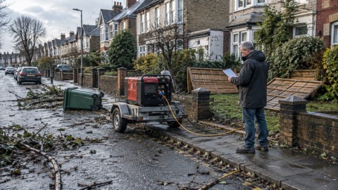
A major incident was declared by Dyfed-Powys Police covering Carmarthenshire, Ceredigion, Pembrokeshire and Powys, with many fallen trees1. Over 2.3 million customers lost power during the storm, and a number of deaths were reported over the weekend1. Most rail services in Wales were closed, the M48 Severn Bridge was closed, and airports in southern Wales shut during the red warning, with flight cancellations and go-arounds reported at many UK airports including Bristol and Heathrow1. A further 50 to 100mm of rain fell across upland areas of Wales from 6 to 7 December, with over 100mm in the wettest areas (100.4mm at Capel Curig, Conwy), following storm Bert two weeks earlier1. The Met Office compares Darragh with storm Isha on 21 January 2024 as broadly comparable, and says it was overall slightly less severe than storm Eunice on 18 February 20221.
Why it matters for households
The alert reached several million phones in a single evening, which shows how the system is used for a storm arriving within hours rather than days1. Households in West Wales and along both coasts of the Bristol Channel were inside the red warning area, where the Met Office forecast gusts of 69 to 81mph or higher1. Power losses affected over 2.3 million customers, and the major incident declaration covered four Welsh counties1. The Met Office's own account records that wind direction can influence the number of fallen trees, citing storm Arwen in late November 2021 as a recent example where the strongest winds came from the north1. The emergency alerts guide explains how the phone warning system works, and the Storm Darragh page sets out the impacts and lessons for households.
What happens next
The Met Office account of Storm Darragh was last updated on 4 September 20251. No further steps are set out in it.
Sources (1)
- metoffice.gov.uk, metoffice.gov.uk
 Phones That Get Alerts
 Emergency Alerts
 Storm Darragh 2024
 UK Emergency Preparedness Guide
 Official Warnings and News
 When You Get an Alert
 Staying Informed in an Emergency