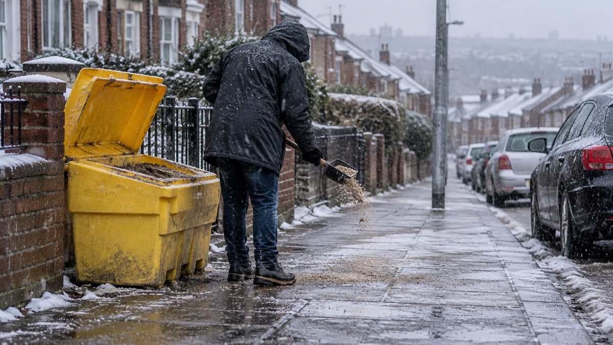
The Met Office issued Yellow National Severe Weather Warnings for rain, snow and ice covering Northern Ireland and southern and central Britain on Wednesday 18 February 2026, with the warnings remaining in force until Thursday morning1. Frontal systems are bringing rain and snow alongside strong winds through Thursday1.
In southern England, a Yellow warning is in place for periods of heavy rain through Wednesday and into Thursday. Many areas are expected to see 10 to 20 mm, with 20 to 30 mm possible along the south coast and up to 50 mm across Dartmoor1. Strong east to northeasterly winds will accompany the rain, and large waves may affect some east-facing coasts, particularly along the English Channel1.
Across Northern Ireland, a Yellow warning covers rain falling as snow over high ground before easing later. Lower levels are likely to see little or no lying snow, but several centimetres could accumulate above 250 metres, especially across the Sperrins, accompanied by strong southeasterly winds. Any lying snow should thaw during the evening and overnight1.
Parts of Wales, central England and the southern Pennines are also under a Yellow warning for snow as the rainband moves in on Wednesday1.
| Area | Hazard | Expected amounts |
|---|---|---|
| Southern England | Rain | 10 to 20 mm widely; 20 to 30 mm along the south coast; up to 50 mm across Dartmoor |
| Northern Ireland | Snow over high ground | Several centimetres above 250 metres, especially the Sperrins |
| Mid and southeast Wales, Herefordshire, Shropshire, southern Pennines | Snow | 2 to 5 cm above 150 to 200 metres; 10 to 15 cm above 250 to 300 metres |
| Lower levels generally | Snow | Small amounts, generally less than 2 cm |
Chief Forecaster Jason Kelly said:
"Strong east to northeasterly winds could increase impacts, and ice is also a risk as temperatures drop overnight. We are keeping a close eye on how this weather system evolves, so do be prepared for weather warnings to change and stay up to date with the weather forecast in your area."
The Met Office says the forecast is available on its website, on YouTube, on X and Facebook, and through its mobile app for iPhone and Android1.
Why it matters for households
The warnings affect travel and daily routines across Northern Ireland, southern England, Wales, central England and the southern Pennines until Thursday morning, with ice a risk as temperatures drop overnight1. The Met Office advises people to be prepared for weather warnings to change and to stay up to date with the forecast in their area1. The weather warnings guide explains what Yellow, Amber and Red warnings mean, and households can read how to sign up for Met Office weather alerts. For those travelling, the Met Office's own travel guidance is linked from its announcement, and our guide on whether to delay a journey in bad weather sets out the considerations, with separate guidance on driving safely in strong winds. Local disruption such as missed bin collections or care visits may follow severe weather; the guide to council help in severe weather explains what councils provide. More general preparation is covered in the storms and snow hub.
What happens next
As the system clears on Thursday, most areas will turn drier, with cloud and rain increasing across Northern Ireland and western Scotland by the afternoon. With temperatures still below average, further ice warnings overnight remain possible1. Into the weekend, further bands of rain interspersed with brighter intervals are expected, mainly affecting western areas. Temperatures will become increasingly mild, with the potential for highs of up to 16°C in sheltered places, exceptionally mild for the time of year, before turning closer to average into next week1.
Sources (1)
- Rain, wind and wintry hazards before turning much milder - Met Office, metoffice.gov.uk
 Met Office Weather Warnings
 Delaying Journeys in Bad Weather





