
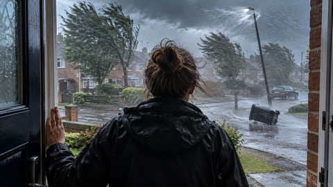
The system responsible was named Storm Darragh on the 5th, by which time a medium impacts amber wind warning was in force for Northern Ireland and the western edges of southern Scotland, England and Wales1. On the 6th this was escalated to high impacts with a red wind warning issued for west Wales and the Bristol Channel area of south Wales and southwest England, the first red warning since Storm Isha in January1. The red warning also led to the issuance of an Emergency Alert to those within the warning area1. Also on the 6th an additional medium impacts amber warning for rain was issued for south Wales, an area still recovering after the effects of Storm Bert only a fortnight before1.
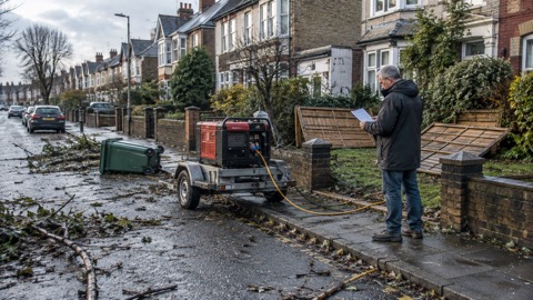
Storm Darragh's winds peaked on Saturday 7th1. Gusts reached 70 to 80mph widely across south and west Wales, southwest England, northeast England and Northumberland, with a gust of 96mph recorded at Berry Head, Devon1. The National Grid reported that in excess of three quarters of a million domestic and business premises lost power for a time as a result of the winds1. Two fatalities were reported on the day of the storm, one in Longton, Lancashire and another in Birmingham, both the result of falling trees impacting vehicles1.
In Northern Ireland, a cooling chimney at Ballylumford Power Station was reportedly damaged by strong wind gusts with the site unable to resume power generation for over a week1. Across the amber and red warning areas of Wales and southwest England in particular, transport disruption was widespread with numerous road closures and rail restrictions reported as a result of fallen trees and debris, and both Severn bridges were reportedly closed for several hours1. Cardiff Council reported more trees downed as a result of Storm Darragh than in the previous 20 years1. The Porth Wen solar farm in Anglesey, the UK's largest, reported many of its solar panels damaged by the sheer strength of the wind1.
The largest economic impact was the extended closure of Holyhead Port to Irish Sea ferry traffic as a result of wind damage1. On the 17th, ten days after Storm Darragh, it was announced that the ferry terminal would remain closed until at least 15th January with serious knock-on effects for the diversion ports of Cairnryan (southwest Scotland) and Fishguard (southwest Wales)1.
"The system responsible was named Storm Darragh on the 5th, by which time a medium impacts amber wind warning was in force for Northern Ireland and the western edges of southern Scotland, England and Wales"
The month as a whole was milder than average, with the UK experiencing a provisional mean temperature of 6.2°C, 2.0°C above the long-term average, provisionally the fifth warmest December on record for the UK1. Rainfall was above average for the UK, provisionally recording 139.4mm, 110% of the long-term average, while Scotland saw 133% of its long-term average and Northern Ireland only 69%1. The UK provisionally recorded only 24.3 hours of sunshine, 57% of the long-term average1.
| Area | December 2024 figure | Share of 1991-2020 average |
|---|---|---|
| UK rainfall | 139.4mm | 110% |
| Scotland rainfall | 232.1mm | 133% |
| Northern Ireland rainfall | 84.1mm | 69% |
| UK sunshine | 24.3 hours | 57% |
| UK mean temperature | 6.2°C | 2.0°C above average |
Source: Met Office monthly weather report for December 20241
Why it matters for households
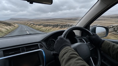
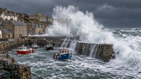
The Met Office report records that more than three quarters of a million domestic and business premises lost power for a time, that the red warning triggered an Emergency Alert to those within the warning area, and that road closures, rail restrictions and bridge closures followed fallen trees and debris1. Holyhead Port's closure to Irish Sea ferry traffic until at least 15th January affected the diversion ports of Cairnryan and Fishguard1. The report notes that a considerable number of pre-Christmas weekend markets and events were cancelled, especially within the amber and red wind warning areas, and that such pre-emptive moves doubtless reduced the extent of impacts1. The Met Office explains the three warning levels, yellow, amber and red, in its weather warnings guide, and households can read how warnings are issued and how to receive them in the guide to signing up for Met Office weather alerts. The report also records that Storm Darragh was the fourth named storm of the season; the naming system is set out separately. For drivers, the report's account of closures on the trans-Pennine A66 later in the month, when gusts of around 70mph were observed, sits alongside guidance on driving in strong winds.
What happens next
The report states that on the 17th it was announced the Holyhead ferry terminal would remain closed until at least 15th January1. The 30th and 31st saw a slide back to more unsettled weather, with two amber rain warnings issued for Scotland and northwest England, that for Scotland accompanied by three severe flood warnings1. On the 30th, rail services across western Scotland were badly disrupted by flooding whilst strong winds resulted in the cancellation of Edinburgh's Hogmanay celebrations on the 31st1. Persistent rain across northwest England late on the 31st resulted in numerous flood warnings and was linked to multiple traffic incidents across Lancashire, and across Greater Manchester there was increasing concern that the amount of rainfall could eventually trigger some significant flooding impacts by New Year's Day, as would prove to be the case1. Further detail on the storm and its lessons for households is in the guide to Storm Darragh 2024, within the wider storms and snow section.
Sources (2)
- metoffice.gov.uk, metoffice.gov.uk
- metoffice.gov.uk, metoffice.gov.uk
 Storm Darragh 2024
 Met Office Weather Warnings
 Driving in Strong Winds
 How Storms Are Named





