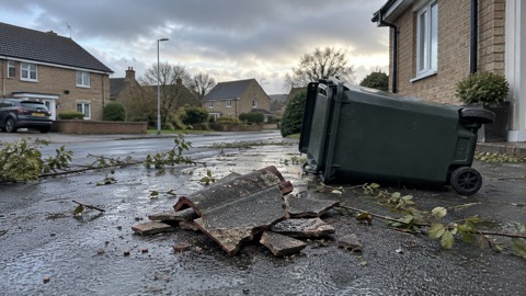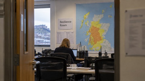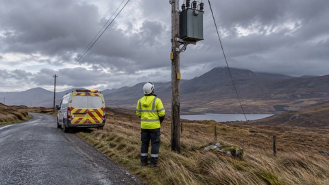
The Scottish Government's Resilience Room (SGORR) met on Friday afternoon to consider the ongoing response to severe weather in northern Scotland, the Met Office reported on 9 January 20261. The room met again on Saturday as agencies continued to deal with sustained cold and wintry weather across much of northern Scotland and other parts of the country2.
Storm Goretti brought a peak gust of 99mph at St Marys on the Isles of Scilly, the highest recorded there since 19911. Snow accumulations reported by the Met Office included:
| Location | Snow depth |
|---|---|
| Altnaharra, Sutherland | 27cm |
| Loch Glascarnoch | 26cm |
| Durris, Kincardineshire | 22cm |
| Lake Vyrnwy, Powys | 15cm |
| Preston Montford, Shropshire | 7cm |
| Nottingham | 7cm |
The lowest temperature recorded overnight was -13.3°C at Braemar, Aberdeenshire1.
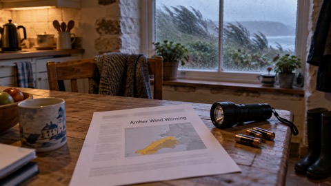
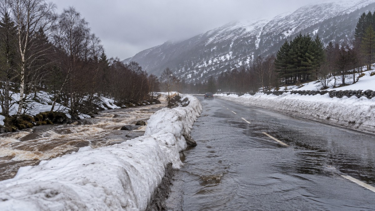
An Amber warning for heavy snow across parts of Scotland was issued for Sunday 03:00 to 14:00, with snow accumulations of 5-15cm likely at relatively low levels and potentially up to 20-30cm over higher elevations within the Highlands and Aberdeenshire2. A wider Yellow warning for snow and ice covers the majority of Scotland and much of northern England, with 2-5cm possible at low levels and temporarily 10-20cm over higher ground before snow turns to rain2. Yellow rain warnings cover western and northern Scotland, southwest Scotland and Northern Ireland, with 80-100mm of rain possible in the western Scotland warning area through Sunday and into Monday, which along with snow melt could cause flooding impacts2. A Yellow warning for wind covers gusts of 45-60mph widely, with 70mph possible in the Western Isles and Northern Isles2.
"Later on Sunday, snow will start to transition to rain or sleet and flooding impacts are likely in northwest Scotland, with a low risk of minor river and surface water flooding affecting low lying land, roads and properties."
UKHSA Amber cold weather health alerts are in place for all regions of England until 12 January1. The Met Office advises people to check whether their property is at risk of flooding through SEPA, the Environment Agency, Natural Resources Wales and NI Direct1. It lists candles and matches or lighters, torches and batteries, and a mobile phone power pack as essentials that could help households cope with a power cut, and gives steps for dealing with an outage, including calling 105, a free service for people in England, Scotland and Wales2. SEPA encourages people to sign up to its Floodline service for free updates for where they live or are travelling2.
Why it matters for households
Yellow warnings for snow and ice are in place across most of Scotland for much of the weekend, which the Scottish Justice Secretary said makes driving conditions dangerous and increases the risk to slips and falls1. As temperatures rise, thaw of lying snow from Sunday onwards will increase the risk of flooding, with possible impacts including flooding of low lying land, roads and individual properties, according to SEPA's Flood Duty Manager1. The Met Office says a low pressure system will drive milder air and strong winds across the UK on Sunday, and that where snow transitions to rain there is a risk of freezing rain, especially across parts of east Scotland and northeast England, which could lead to ice forming very quickly on all surfaces2. The Scottish Justice Secretary said anyone affected who is isolated or needs help or assistance should not hesitate to seek help from their local authority, health board or other public service1. The Met Office's weather warnings guide explains the Yellow, Amber and Red levels, and households can sign up for Met Office alerts. SEPA's flood warnings sit alongside the Flood Alerts, Flood Warnings and Severe Flood Warnings used across the UK.
What happens next
Strong winds will continue into Monday morning in Northern Ireland and western Scotland, where gusts of 60-70mph could bring further disruption to the start of the week, under a Yellow warning for wind running from Sunday night through Monday morning2. Temperatures will then return closer to average for most through next week, with a south-westerly regime dominant, though this brings the likelihood of further unsettled weather at times1. The Met Office says further warnings are possible for Sunday and advises people to stay up to date with the latest forecast and with information from local responders and authorities1.
Sources (2)
- Further snow and ice forecast following Storm Goretti - Met Office, metoffice.gov.uk
- Amber warning for further snow in Scotland - Met Office, metoffice.gov.uk