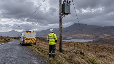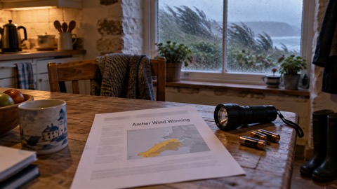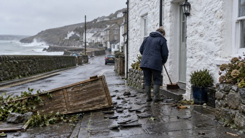
Scottish ministers activated the Scottish Government's Resilience Room (SGORR) to prepare for strong, windy conditions from Storm Boelo, which the Met Office predicted would affect the whole of mainland Scotland and the Western Isles over the weekend1. The Met Office issued an amber warning for wind covering mainland Scotland and the Western Isles from 9pm on Saturday until 9pm on Sunday1. A yellow wind warning had taken effect across Scotland from midday on Saturday, with only Orkney remaining under the yellow warning once the amber alert came into force2.
The Met Office said gusts would be fairly widespread at 60 to 70mph, with gusts to 80mph in exposed coastal areas, and warned of potential injuries and danger to life from flying debris, as well as a chance of damage to buildings, power cuts and travel disruption2. The strongest winds were expected to affect western Scotland and the far north of Northern Ireland on Saturday evening before spreading eastwards overnight and through Sunday2. A yellow rain warning ran from 9pm on Saturday until 3pm on Sunday covering Moray Firth, Aberdeenshire, Perth & Kinross and eastern parts of the Highlands, with heavy downpours expected overnight and a risk of flooding and travel disruption1. The Scottish Environment Protection Agency had 11 flood alerts in place in the same areas as the Met Office yellow warning1. A yellow wind warning was also issued for most of Scotland from 3am until midnight on Tuesday1.
| Warning | Area | Period |
|---|---|---|
| Amber wind | Mainland Scotland and the Western Isles | 9pm Saturday to 9pm Sunday1 |
| Yellow wind | Across Scotland, Orkney remaining under yellow once amber begins | From midday Saturday2 |
| Yellow rain | Moray Firth, Aberdeenshire, Perth & Kinross, eastern Highlands | 9pm Saturday to 3pm Sunday1 |
| Yellow wind | Most of Scotland | 3am to midnight Tuesday1 |
The Transport Scotland Resilience Room and Multi Agency Response Team were to be stood up for the duration of the warning to monitor conditions and coordinate responses across the transport network, with Traffic Scotland providing updates from the National Control Centre in South Queensferry1. Network Rail implemented speed restrictions on major routes to and from Aberdeen, between Glasgow Central and Carlisle and between Glasgow Central and Edinburgh Waverley1. Police Scotland confirmed the B9071 was closed between Garderhouse and the Reawick junction in Skeld, Shetland, following a landslide1. All of CalMac's 30 ferry services were cancelled, some of them until Monday, and several rail lines in western and northern Scotland had closed or were set to close2.
"The strong winds may lead to restrictions on some bridges and exposed routes, as well as impacts across ferry, rail and air services. Anyone planning to travel should check conditions before setting out and allow extra time for their journey."
Why it matters for households
The amber warning covers the whole of mainland Scotland and the Western Isles, so households across most of the country fall within the area where the Met Office says damage to buildings and trees, such as tiles blown from roofs and large branches or trees blown over, could occur from Saturday, alongside power cuts and disruption on road, rail, air and ferry services1. Police Scotland's Superintendent Andy Barclay, deputy head of Road Policing, said the amber warning means a high risk of disruption on the road network and that travel conditions may be hazardous; his advice was to plan ahead and consider whether a journey is really necessary or can be delayed until conditions improve, noting that stopping distances can be at least double on wet roads and that HGV and bus drivers may be asked by police to park at a suitable position1. ScotRail advised people to check before travelling and to consider alternative arrangements where possible, and said tickets for travel on Saturday or Sunday could be used on any service on Saturday or once routes reopened, including on Monday2. SEPA's flood duty manager, Pascal Lardet, said the flood risk would remain elevated across the weekend and into next week and urged people to remain vigilant and stay up to date by checking its flooding page1.
Several public events and sites were affected: the City of Edinburgh Council said it would close Princes Street Gardens, Lauriston Castle Grounds and Saughton Winter Gardens on Saturday evening and reopen them on Monday, and Edinburgh Castle was to be closed on Sunday2. The Paisley Halloween Festival event on Saturday and the Enchanted Forest event at Pitlochry on Saturday were cancelled2.
What happens next
A further area of low pressure could be named Storm Chloe, bringing another spell of strong winds1. On Tuesday 27 October, the latest yellow wind warning expired earlier than planned, at 6pm rather than 9pm, covering northern areas of the country, and SGORR met again, chaired by Justice Secretary Neil Gray, with a yellow risk of flooding still in place on Tuesday and through to Wednesday in northern parts of mainland Scotland and the Northern Isles3. Gray said the recovery effort continues and that SGORR would monitor the situation overnight and respond where appropriate3. A fishing boat was stranded at Irvine Harbour in Ayrshire after coming loose from its moorings when Storm Boelo passed through the area3.
For background on storm preparation and restoration, see the storms and snow hub and Storm Boelo: What Happened and How Supplies Were Restored; the wider arrangements for national and local response are set out in The UK Government Resilience Framework and Action Plan, with general guidance in the UK preparedness hub.
Sources (3)
- Storm Boelo to strike Scotland as amber wind alert brings 'danger to life' warning | STV News, news.stv.tv
- Yellow wind warning in effect as Storm Boelo threatens 80mph gusts in Scotland | STV News, news.stv.tv
- Coastal communities in Scotland told to remain vigilant for floods as wind warnings lifted | STV News, news.stv.tv