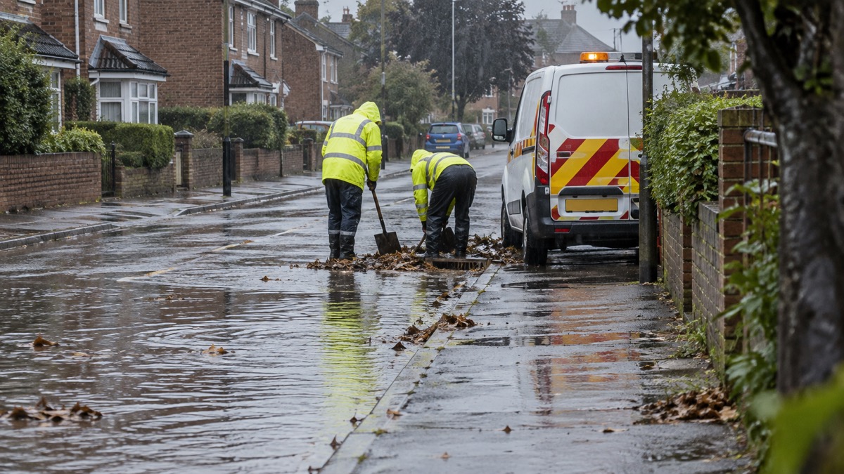
The Met Office issued two thunderstorm warnings for Norfolk on 26 August 2025, as a summer of heatwaves and drought gave way to the threat of flooding1. The first warning ran until 10pm that day, with heavy showers and thunderstorms forecast to bring intense downpours and surface-water flooding1.
The first alert covered large parts of the county, but King's Lynn, Fakenham and the entirety of the Norfolk coast were not set to be affected1. A second warning, due to last between 6am and 10pm on 27 August, was to affect King's Lynn, Downham Market and Hunstanton1.
The Met Office set out the likely rainfall amounts in its warning:
"Many places will miss these, but where they do occur they may be intense with 20mm to 30mm of rain falling in less than an hour and perhaps 40mm to 50mm in two to three hours in a few spots, leading to some surface water flooding."
The same statement said large hail and frequent lightning were also possible, and that the showers and thunderstorms would drift northwards and ease during the evening1. A band of heavy showers and thunderstorms was expected to move northwards on the morning of 27 August, with a drier, brighter interlude possibly following before further showers and thunderstorms could break out during the afternoon1.
The warnings came against a background of prolonged dry weather. A drought was officially declared in Norfolk on 29 July due to very low rainfall and high temperatures that made it one of the hottest summers in history, and the county remained under an Anglian Water hosepipe ban which began on 11 July1. The National Drought Group was meeting weekly to address the intensifying situation1. Although the county had recently seen its first rainfall in weeks, the drought was still set to stay1.
| Warning | Period | Areas reported as affected |
|---|---|---|
| First thunderstorm warning | Until 10pm on 26 August | Large parts of Norfolk; King's Lynn, Fakenham and the whole Norfolk coast not set to be affected |
| Second thunderstorm warning | 6am to 10pm on 27 August | King's Lynn, Downham Market and Hunstanton |
Why it matters for households
Households across much of Norfolk were within the area of the first warning on 26 August, with surface water flooding possible where the heaviest downpours occurred, and large hail and frequent lightning also possible1. The second warning on 27 August was confined to King's Lynn, Downham Market and Hunstanton1. The Met Office's weather warnings guide explains what the yellow, amber and red levels mean, and its advice on staying safe in a thunderstorm covers lightning. The storms and snow hub collects the site's wider household guidance.
The hosepipe ban and the declared drought remained in place despite the forecast rain, and the Eastern Daily Press reported that the drought was still set to stay1. The warnings therefore arrived at a point when households in the county were subject both to water-use restrictions and to a short-term flood risk.
What happens next
The second warning was due to end at 10pm on 27 August, with the showers and thunderstorms expected to drift northwards and ease during the evening1. The National Drought Group was meeting weekly on the drought situation1. No further warnings for Norfolk beyond 27 August are reported.