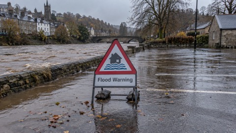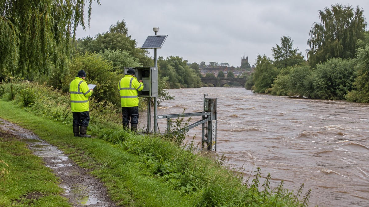
Natural Resources Wales (NRW) put its new Flood Warning Information Services for Wales (FWISfW) live on 17 July 2024, the body says in its flood risk management annual report for 2024 to 20251. NRW describes itself as the largest Welsh Government Sponsored Body1.
The report says the new system "de-couples us from the previous England and Wales service and allows us to better respond to the needs of customers in Wales in the future"2. The same report records that the new service was used through a storm season in which Storms Bert and Darragh caused the most significant impacts in Wales1.
During Storm Bert, 22 to 25 November 2024, more than 700 homes across Wales experienced flooding, with Pontypridd again one of the most severely affected communities1. Rainfall totals were widely 50 to 100mm, with over 150mm in the wettest upland areas, and some rivers in South Wales reached their highest ever recorded levels1. Storm Darragh, 6 to 7 December 2024, brought a rare red weather warning from the Met Office and an emergency alert by phone to affected areas, the first use of that system since it was introduced in 20231. The destructive winds left more than 259,000 homes without power at the peak of disruption1.
On the scale of risk, NRW estimates 275,000 properties in Wales are at risk of flooding, approximately 1 in 71. It gives the undefended sum of properties at risk as 342,436 as of April 2025, and says that removing double or triple counting of properties at risk from multiple sources leaves over 274,0001. The report states that by 2120 there are predicted to be over 131,000 properties at risk from the sea and nearly 131,000 from rivers, with over 48,000 more at risk from surface water and small streams2.
| Measure | Figure | Year |
|---|---|---|
| FWISfW go-live date | 17 July 2024 | 2024 |
| Homes flooded, Storm Bert | more than 700 | Nov 2024 |
| Homes without power at peak, Storm Darragh | more than 259,000 | Dec 2024 |
| Properties at risk of flooding, Wales | 275,000 (about 1 in 7) | 2024/25 report |
The report also records the completion of the Stephenson Street flood alleviation scheme in Newport, reducing flood risk to 1,032 properties, and a scheme at Sandycroft, Flintshire, covering 218 properties2. NRW says it maintains over 3,900 flood risk management assets, including approximately 455km of raised defences, and that 97.23% of assets in high flood risk systems were at or above their required condition, just short of a 98% target3.
Why it matters for households
The warning service is the route by which NRW issues flood warnings and alerts to households in Wales, and the report says accurate and timely warnings are a core element of mitigating the impacts of flooding1. NRW's head of flood and incident risk management, Jeremy Parr, writes that warnings need to be understood and acted on, and that investment in warning systems "really can be a matter of life and death"1. The report does not describe any change to how households sign up for or receive warnings under the new service; that has not been reported. Households in Wales can check current warnings and risk maps through NRW's arrangements described in our guide to Wales: Natural Resources Wales warnings and risk maps, and the three levels of message are set out in flood alerts, flood warnings and severe flood warnings. The report gives no new advice to households beyond its account of the service.
What happens next
The Welsh Government published a revised planning policy, TAN15: Development, Flooding and Coastal Erosion, on 31st March 20251. NRW released an updated Communities at Risk Register in January 2025, alongside a Climate Change CaRR for the first time1.
Sources (3)
- Natural Resources Wales / Flood risk management annual report 2024 to 2025, naturalresourceswales.gov.uk
- Natural Resources Wales / Flood risk management annual report 2024 to 2025, naturalresources.wales
- Natural Resources Wales / Flood risk management annual report 2024 to 2025, naturalresourceswales.gov.uk
 Wales Flood Warnings and Maps
 Flood Alerts and Flood Warnings