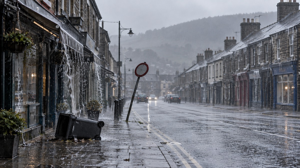
The Met Office issued yellow warnings for rain and wind across Wales and much of southern England covering Monday into Tuesday, in an announcement published at 12:18 on Monday 27 January 20251. The rain warning for parts of Wales does not end until 21:00 on Tuesday1.
The warnings follow Storm Éowyn, which cleared away from the UK on Saturday1. The Met Office reported that the highest gust of 100mph at Drumalbin in Scotland was the eleventh highest maximum gust since it started naming storms in 2015, and that more than 100,000 properties were left without power, with further disruption caused by road and rail closures, fallen trees and damage to buildings1. A further low-pressure system moved in on Sunday and was named Storm Herminia by the Spanish Meteorological Service, with more significant impacts expected in Spain and France; the Met Office said the system did not meet the criteria to be named by its storm naming group, which includes Met Eireann and KNMI1.
Met Office Chief Meteorologist Frank Saunders said gusts of up to 60 or 70mph were possible near the coasts in the far southwest, with around 50mph possible inland especially near to the heaviest showers, and that the strong winds would gradually ease from the west on Tuesday1. With the ground already wet, further flooding impacts, which will primarily affect road traffic, are possible, and additional hazards could include further lightning strikes and hail making road conditions dangerous1. Temperatures will be close to the seasonal average but feeling colder than this in the strong and gusty winds in the south1.
"Yellow warnings for rain and wind are in currently in place across Wales and much of southern England covering Monday into Tuesday."
| Warning | Area | Period |
|---|---|---|
| Rain | Parts of Wales | Monday into Tuesday, ending 21:00 on Tuesday |
| Wind | Wales and much of southern England | Monday into Tuesday |
Source: Met Office1
Why it matters for households
The warnings cover Wales and much of southern England from Monday into Tuesday, with the rain warning in parts of Wales lasting until 21:00 on Tuesday1. The Met Office says further flooding impacts are possible and will primarily affect road traffic, and that lightning strikes and hail could make road conditions dangerous1. Gusts of up to 60 or 70mph are possible near the coasts in the far southwest and around 50mph inland, especially near to the heaviest showers1. The Met Office explains the warning levels in its guide to yellow, amber and red warnings, and households can sign up for alerts through its Met Office weather alerts page. For those considering travel, the site's guide on whether to delay a journey in bad weather sets out the points to weigh; further background is in the storms and snow section.
What happens next
Storm Herminia will move away from the UK by Wednesday, bringing a day of sunny spells and showers, which could be thundery in the north and wintry on the hills1. The Met Office is also watching an area of heavy rain crossing France and the English Channel, which at present looks like just grazing southern coastal counties of England1. A quieter spell is expected from Thursday, as a ridge of high pressure crosses the UK bringing a drier, brighter and less windy day for all, although there is the risk of some freezing fog patches at first1.
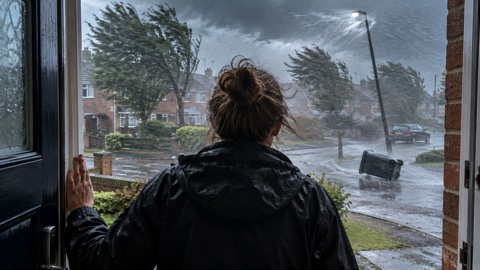 Met Office Weather Warnings
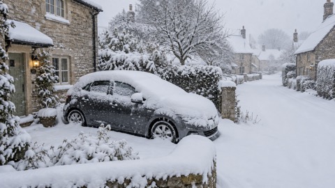 Delaying Journeys in Bad Weather





