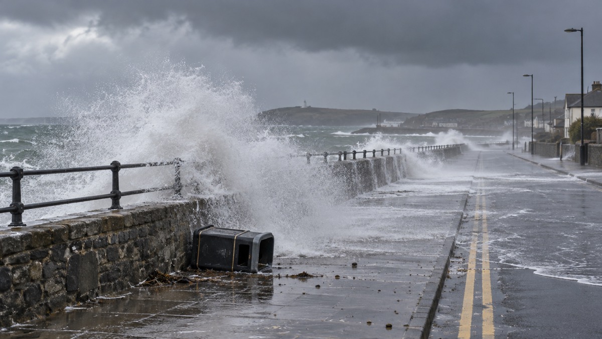
Storm Amy reached northern parts of the UK on the afternoon of Friday 3 October 2025, the Met Office said, bringing disruptive wind and heavy rain to much of Scotland, Northern Ireland, north-west England and north-west Wales into Saturday1. The Met Office issued three Amber warnings for wind, with timings reflecting the track of the peak winds from Northern Ireland through to western and northern Scotland1. The agency said the storm formed as a distinct feature in the jet stream, partly due to the interaction of Hurricane Imelda and Humberto in the Atlantic1.
The Amber warnings covered northern and western areas of Scotland from 1700 to 2359 on Friday, and northern areas from 0000 to 2100 on Saturday1. The Met Office said damaging gusts of around 100 mph were possible for a time on Friday evening in parts of western Scotland, especially Skye, Tiree, Barra and western Lochaber, with gusts of 60-80 mph more widely in the Amber areas and slightly lower figures under Yellow warnings1. Rainfall over western Scotland could exceed 30-50mm in 6-9 hours, increasing the risk of flooding for some1. The warnings highlighted a danger to life, the possibility of power cuts, travel disruption and particularly dangerous conditions near coasts1.
"Storm Amy will be an impactful autumn storm for many in Scotland and Northern Ireland, though impacts will also spread to northwest England and Wales, as well as a more widespread windy period for the rest of the UK."
The Met Office said it was possible some weather stations in western Scotland could record new October wind gust records1. The highest gust recorded in the UK in October is 124 mph at Rhoose, South Glamorgan, on 28 October 1989, and the highest in Scotland in October is 106 mph at Salsburgh, Lanarkshire, on 18 October 1984; both events were before the Met Office began naming storms in 20151. The British Geological Survey noted a chance of landslides in western Scotland, saying records show landslides have been triggered there by similar amounts of rainfall to that forecast1.
Scottish and Southern Electricity Networks (SSEN), the network operator for the north of Scotland, moved to Yellow Alert on 1 October ahead of the storm2. Its modelling predicted wind speeds in excess of 80mph for the Western and Northern Isles, the length of Scotland's west coast, the north-west Highlands, Caithness, Moray and the Aberdeenshire coast, with gusts of 90mph likely in the most exposed areas2. SSEN said it had activated contingency plans, brought in additional teams, increased control room and contact centre staffing, and would text vulnerable customers with guidance on preparations and on what to do if power goes off2. Its Priority Services team was to contact especially vulnerable customers in the areas most likely to be affected2.
The Met Office's later account of the storm recorded gusts of 83 knots (96 mph) at Tiree in Argyll, 80 knots (92 mph) at Magilligan in County Londonderry, 76 knots (87 mph) at Tain Range and 73 knots (84 mph) at Loch Glascarnoch, both in Ross & Cromarty, and 70 knots (81 mph) at Islay Port Ellen and Inverbervie3. The Magilligan gust set a new highest maximum gust speed record for Northern Ireland for October3. Twelve stations with 30+ year records set their highest October maximum gust speed on record3. Baltasound in Shetland recorded a pressure of 947.9 hPa at 0500 UTC on 4 October, a new October record for the UK3.
| Area | Warning | Period |
|---|---|---|
| Northern and western Scotland | Amber wind | Friday 1700 to 2359 |
| Northern Scotland | Amber wind | Saturday 0000 to 2100 |
| Northern Ireland, north-west England, north-west Wales and other areas | Yellow | As issued by the Met Office1 |
The Met Office said 50 to 75mm or more of rain fell widely across northern areas on 3 October, and 100 to 150mm or more across western and northern upland areas in the first four days of the month3. Fallen trees, flooding and debris disrupted transport across Scotland, with several rail lines closed including all services out of Glasgow; west coast ferry services and crossings to Northern Ireland were disrupted or cancelled, the Forth Road Bridge was closed to all vehicles, several flights were cancelled and Northern Ireland's rail services were suspended3. All eight of London's Royal Parks were closed as a precautionary measure3. Over 40,000 properties in Scotland and 50,000 in Northern Ireland were reported to be without power, with restoration work in some areas lasting several days3.
Why it matters for households
The warnings covered households across Northern Ireland, much of Scotland, north-west England and north-west Wales, with the strongest winds forecast for western Scotland on Friday evening and northern Scotland through Saturday1. The Met Office warned of power cuts, travel disruption and danger to life, and particularly dangerous conditions near coasts1. David Morgan, SEPA's Flood Duty Manager, said a combination of large waves and high winds would bring danger to life on exposed coastlines, particularly around high tides, with the greatest concern for coastal flooding in the Firth of Clyde, where flooding to parts of communities, disruption to travel and infrastructure and property flooding from wave overtopping were likely1. SEPA urged the public to stay away from the coast during this time1.
Martin Thomson of Transport Scotland said the rain and wind would bring difficult driving conditions such as reduced visibility and surface water, and were likely to affect ferry and rail networks1. He advised motorists to use the Traffic Scotland website before setting off to check their route is available, and to check with their operator if planning to travel on trains, ferries and flights1. SEPA advised people living, working and travelling in affected areas to consider any steps they need to take now to be prepared and stay safe, and to take extra care if they need to travel1. SSEN encouraged customers to save the emergency power cut number 105 to report loss of supply or damage to the network, and said anyone seeing damage to its equipment should stay back and not touch it2.
What happens next
The Met Office said it would continue to monitor the forecast and issue further updates1. SEPA said it was working with the Met Office to monitor the situation 24/7, updating Alerts and Local Flood Warnings as necessary, and advised people to sign up to Floodline for free updates and to check its website and three-day Scottish Flood Forecast1. SSEN said it would issue further updates depending on the forecast2.
The Met Office explains the difference between Yellow, Amber and Red warnings, and households can read how to sign up for Met Office weather alerts. For travel during the storm, see guidance on how to drive safely in strong winds, and the storms and snow hub covers further winter preparedness.
Sources (3)
- Amber and Yellow warnings in force for Storm Amy - Met Office, metoffice.gov.uk
- We're preparing for Storm Amy, which will affect the north of Scotland this weekend - SSEN, ssen.co.uk
- metoffice.gov.uk, metoffice.gov.uk
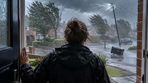 Met Office Weather Warnings
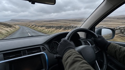 Driving in Strong Winds





