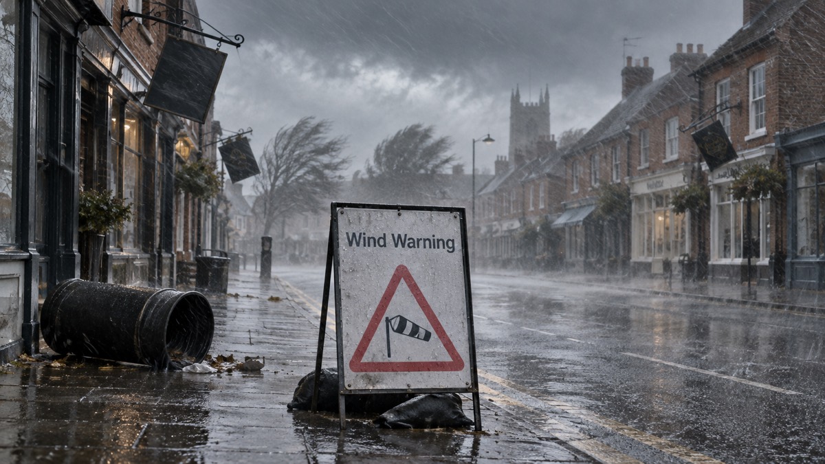
The Met Office has issued a yellow warning for wind for parts of Norfolk as Storm Austen, the first named storm of the year, arrives, the Eastern Daily Press reported. The warning runs from 10am to 9pm on Friday 23 October1.
The warning is expected to cause delays to public transport and some short-term loss of power. High-sided vehicles on exposed routes and bridges are expected to experience delays, with the potential for some bus and train services to be affected as well1. The Met Office has advised drivers to check road conditions, and those taking public transport to check timetables and amend travel plans if necessary1.
Tom Crabtree, deputy chief forecaster at the Met Office, said:
"While the exact track and position of Storm Austen is still being determined, what's clear is that we have an impactful period of weather on the way and the potential for disruption in places, which has resulted in the system being named."
He added that peak gusts in excess of 70mph are possible on the most exposed coastal areas, while 50mph to 60mph are likely more widely within the warning area1.
Forecasts for the county vary by source. The Eastern Daily Press reports that the warning does not stretch as far as the coast at this stage1. According to BBC Weather, the strongest winds in the county are forecast along the coast, with Sheringham and Hunstanton likely to see the most severe conditions of 47mph gusts on Sunday, while gusts in Norwich could reach 41mph accompanied by rain1. According to the weather app Weathergraph, Norwich will also experience -3C wind chills from 7pm on Friday until 6am on Monday1. The Eastern Daily Press describes the first storm of the year as bringing wind gusts of nearly 50mph1.
| Area | Forecast detail | Source |
|---|---|---|
| Most exposed coastal areas | Peak gusts in excess of 70mph possible | Met Office1 |
| Wider warning area | 50mph to 60mph likely | Met Office1 |
| Sheringham and Hunstanton | 47mph gusts on Sunday (BBC Weather) | 1 |
| Norwich | Gusts to 41mph with rain; -3C wind chills from 7pm Friday to 6am Monday (Weathergraph) | 1 |
Why it matters for households
The warning covers parts of Norfolk for eleven hours on Friday 23 October, from 10am to 9pm1. Within that period households in the warning area may see short-term loss of power and disruption to bus and train services, and high-sided vehicles on exposed routes and bridges are expected to face delays1. The Met Office has advised drivers to check road conditions and public transport users to check timetables and amend travel plans if necessary1. The Eastern Daily Press adds that for those living near the sea, precautions should still be taken during stormy weather, although the warning does not stretch as far as the coast at this stage1. The levels of the yellow, amber and red warning system are set out in the guide to Met Office weather warnings, and households can read about signing up for Met Office weather alerts. Those weighing up whether to travel can consult the guide on whether to delay a journey in bad weather, and further coverage sits in the storms and snow section.
What happens next
The warning is in force until 9pm on Friday 23 October1. The Met Office has said the exact track and position of Storm Austen is still being determined1. No further warnings or updates beyond Friday have been reported.
 Met Office Weather Warnings
 Delaying Journeys in Bad Weather





