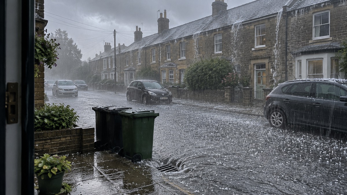
The Met Office issued the warning on Thursday 8 June 2023, saying a plume of warm air from the south would raise temperatures and increase the risk of thundery showers. The warning covers Wales and a large area of southern and central England from 1400 to 2100 on Saturday1.
The Met Office said the warning highlights potential disruption to travel, the chance of power cuts and the possibility of very localised flooding from the heaviest showers1. Deputy Chief Meteorologist Dan Harris said the focus area for Saturday had become better defined over the previous 24 hours, which gave sufficient confidence to issue a "Very Low Likelihood" Yellow Thunderstorm Warning. He said not everyone in the warning area would see the heaviest showers, or any showers at all, but some were likely to be torrential and thundery, with 30-40mm falling in an hour, and some spots affected by multiple showers could see in excess of 60mm within the warning period1.
Temperatures were expected to reach around 30°C in some parts of England, with relatively high night-time temperatures often staying in the mid-teens Celsius for some1. East and northeast Scotland was likely to be the main exception to the change in conditions, with an easterly breeze possibly keeping temperatures more subdued and cloud likely to persist, and sea breezes were expected to keep some coastal areas cooler than inland peaks1. Storm Oscar, named by the Spanish Meteorological Service (AEMET), was not expected to affect the UK, though the Met Office said it would help drive the warm plume of air into southern areas1.
The UK Health Security Agency, which covers the healthcare sector in England, issued a Heat Health Alert1.
"Forecasted temperatures this week will primarily impact those over the age of 65 or those with pre-existing health conditions such as respiratory and cardiovascular diseases."
Dr Sousa also said it was important that everyone ensures they keep hydrated and cool while enjoying the sun, and that people should check in on friends, family or neighbours who are more vulnerable to the effects of hot weather, ensuring they are aware of the forecasts and are following the necessary advice1.
Why it matters for households
The warning period covers Saturday afternoon and evening, when households in Wales and southern and central England may see travel disruption, power cuts and localised flooding from the heaviest showers1. The Met Office's guide to weather warnings explains the difference between Yellow, Amber and Red warnings, and its advice on whether to delay a journey in bad weather covers travel decisions. Households can also sign up for Met Office weather alerts, and the storms and snow hub collects the site's related guidance. The heat alert applies to England, where the UK Health Security Agency says forecast temperatures will primarily affect those over 65 and those with pre-existing conditions such as respiratory and cardiovascular diseases1.
What happens next
The Met Office said signals for the following week indicated the risk of thundery downpours would continue at first for some, with temperatures likely to remain above average, and eastern coastal areas possibly slightly cooler with a resumption of an easterly breeze1. Mr Harris said that this far from the event the main focus area could change as the latest forecast information became available, and that it was important to stay up to date with the latest forecast1.
Sources (1)
- Warning issued ahead of thunder risk - Met Office, metoffice.gov.uk
 Delaying Journeys in Bad Weather
 Met Office Weather Warnings





