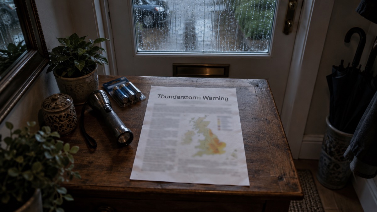
The Met Office issued a Yellow thunderstorm warning for a swathe of southeastern England from Hampshire to Essex, including London and parts of the Home Counties, on Wednesday 31 July, and a further Yellow thunderstorm warning covering most of England and Wales except the far South West and northwest for Thursday 1 August1. The warnings followed what the Met Office described as the warmest spell of the year in parts of the UK1.
Daytime temperatures were forecast to reach 30-32°C in parts of central and southern England and eastern Wales, with high humidity. Northern England was forecast to reach the mid 20s°C, while parts of Scotland and Northern Ireland were expected to reach the low 20s°C or high teens1.
Dan Holley, a Met Office deputy chief forecaster, said the most intense impacts were likely to be focused on central, southern and southeast areas of England, where some locations could see torrential downpours, large hail and frequent lightning1.
"The Met Office has issued a thunderstorm warning over a broad geographical area but not all locations will see impacts."
| Warning | Area | Period |
|---|---|---|
| Yellow thunderstorm | Southeastern England from Hampshire to Essex, including London and parts of the Home Counties | Wednesday 31 July |
| Yellow thunderstorm | Most of England and Wales except the far South West and northwest | Thursday 1 August |
The Met Office said a few places could see 50-100mm of rainfall in a few hours, and that some warnings might need to be issued at short notice ahead of the most intense thunderstorm activity1. Hot conditions were expected to remain until a fresher and cooler influence began from Friday, with isolated thunderstorm activity still possible in the east or southeast of England but with frequency and impacts much reduced compared with Wednesday and Thursday1.
A separate report in The Independent describes a Yellow warning for heavy, possibly thundery rain across southern and central England up to South Yorkshire and all southern Welsh counties between Saturday night and Sunday evening, with some locations seeing 40-60mm and other areas, particularly in the southern half of the warning area, potentially 80-100mm2. That report says the Met Office warned of a "small chance" that some buildings could be damaged, some communities could become cut off by flooded roads, and fast-flowing or deep floodwater could pose a danger to life, with a slight chance of delays or cancellations to train and bus services where flooding occurs2. It also reports one flood warning in place at Ilston in south Wales and two flood alerts in the region as of Saturday morning, and two flood alerts issued by the Environment Agency in south-west England including around the Lower Avon river2. The dates of that weekend warning are not stated in the report, and it has not been reported how it relates to the Wednesday and Thursday warnings.
Why it matters for households
The warnings cover two consecutive days and a wide area, but the Met Office states that not all locations will see impacts1. Where the most intense storms develop, households in central, southern and southeast England could see torrential downpours, large hail and frequent lightning, with 50-100mm of rain in a few hours possible in a few places1. The Met Office advises people to keep up to date with its latest forecasts and warnings, and states that some warnings may be issued at short notice1. The Independent reports the Met Office warning that fast-flowing or deep floodwater may pose a danger to life, and that flooding could cause power cuts, damage to some buildings and delays or cancellations to train and bus services2. The Met Office publishes warnings on its website, YouTube, X (formerly Twitter), Facebook and its mobile app1. Practical background on warning levels is set out in the guide to Met Office weather warnings: Yellow, Amber and Red explained, and on household preparation in Storms, Snow and Ice: A Household Guide. Readers can find out how to receive alerts in How to sign up for Met Office weather alerts, and why phone, radio and television signals can fail during storms in Why TV, radio and phone signal fail in storms and space weather.
What happens next
Hot conditions are forecast to remain until a fresher and cooler influence begins from Friday, with the risk of isolated thunderstorms in the east or southeast of England continuing but with much reduced frequency and impacts compared with Wednesday and Thursday1. The Met Office said warnings would be kept under review over the weekend and issued as confidence increased2.
Sources (2)
- Be prepared for thunderstorm impacts - Met Office, metoffice.gov.uk
- Met Office issues yellow weather warning as UK set for thundery rain | The Independent, independent.co.uk
 Met Office Weather Warnings
 Snow and Ice Household Guide





