
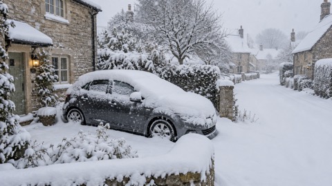
The Met Office issued yellow warnings for rain across western, northern and southwest Scotland on Sunday 11 January 2026, as low pressure pushed mild Atlantic air in from the west and brought the cold spell to an end. The forecaster said residual impacts were ongoing in areas affected by deep snow, and that heavy rain combined with snow melt brings a risk of flooding1.
The warning for western and northern Scotland runs until 10:00 on Monday morning and covers 40-60mm of rain quite widely, with up to 80-100mm possible over higher ground in the west. A separate warning for southwest Scotland gives 30-50mm, with 70-90mm possible over the higher ground of Dumfries and Galloway. The Met Office also said over 100mm was possible in parts of northwest Scotland as heavy rain spread across the UK on Sunday1.
| Area | Rainfall warned | Warning period |
|---|---|---|
| Western and northern Scotland | 40-60mm widely; 80-100mm over higher ground in the west | Until 10:00 Monday 12 January |
| Southwest Scotland (including Dumfries and Galloway) | 30-50mm; 70-90mm over higher ground | Separate warning, period as above |
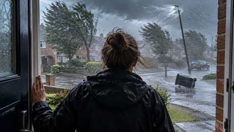
Winds were also forecast to be strong. Gusts of 50-60 mph were expected widely across western and northern Scotland, with a brief spell of 70-80 mph gusts, possibly 85 mph in the most exposed locations, affecting parts of the Hebrides and the western Highland coast late on Sunday evening and through the early hours of Monday morning. Elsewhere, Sunday was described as a widely windy day before conditions ease through Monday morning1.
The Met Office quoted Chief Meteorologist Matthew Lehnert:
"While the wintry weather may have come to an end, the significant snow accumulations in parts of Scotland mixed with heavy rainfall and an increase in temperatures bring a risk of flooding in some areas as the snow melts. Keep up to date with the flood warnings issued by SEPA and check your flood risk."
David Morgan, SEPA Flood Duty Manager, said flood risk is greatest in Dumfries and Galloway and the west and north of Scotland. Possible impacts listed by SEPA include flooding affecting parts of communities, low lying land, transport infrastructure and individual properties, and driving conditions that will be very difficult at times1.
Why it matters for households
The warnings cover households in western, northern and southwest Scotland, with the rain warning in force until 10:00 on Monday 12 January and the strongest gusts expected overnight into Monday morning. SEPA's flood duty manager identified Dumfries and Galloway and the west and north of Scotland as the areas of greatest flood risk, with possible effects on communities, low lying land, transport infrastructure and individual properties, and very difficult driving conditions at times1. The Met Office advises people to keep up to date with flood warnings issued by SEPA and to check their flood risk, and SEPA encourages people to sign up to its Floodline service for free updates for where they live or are travelling through, sent directly to their phone1. The Met Office's guide to yellow, amber and red warnings explains what each level means, and its advice on whether to delay a journey covers travel in bad weather. Households can also read how to sign up for Met Office weather alerts.
What happens next
Low pressure remains in charge of the weather across the UK through next week, according to the Met Office. With milder air in place, most precipitation will fall as rain, except for some areas of higher ground in Scotland which could see wintry showers. Temperatures are expected back to around average for the time of year after a notable spell of below average temperatures since the start of the year1. The rain warning for western and northern Scotland expires at 10:00 on Monday 12 January; no further warning periods are given in the forecast published on 11 January1.
 Met Office Weather Warnings
 Delaying Journeys in Bad Weather





