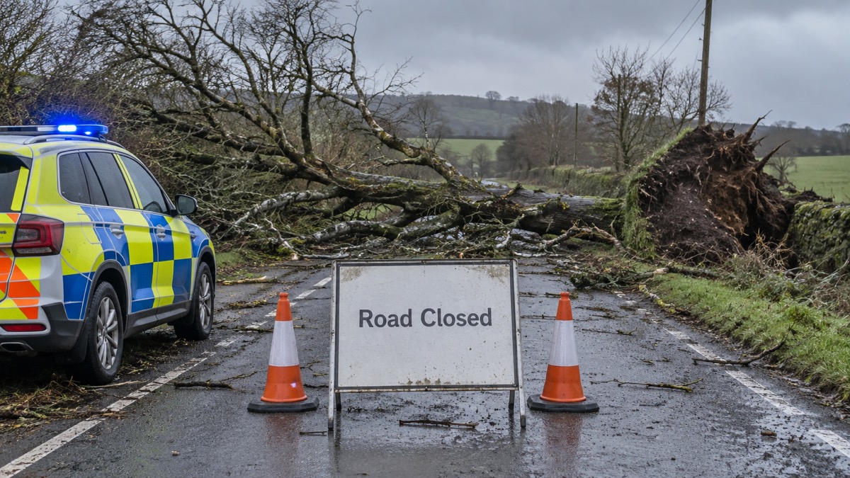
A major incident was declared by Dyfed-Powys Police covering Carmarthenshire, Ceredigion, Pembrokeshire and Powys, with many fallen trees, as Storm Darragh brought very strong winds to western parts of England and Wales on 6 and 7 December 20241. The Met Office issued a red warning for wind covering West Wales and both coasts of the Bristol Channel, in force from 0300 UTC to 1100 UTC on Saturday 7 December, with winds gusting at 60 to 70Kt (69 to 81mph) or higher in these areas1. Met Éireann, the Irish national meteorological service, also issued a red warning for wind1.
The highest gust recorded was 83Kt (96mph) at Berry Head, Devon, its highest December gust in a 30-year record1. Other maxima given by the Met Office were 81Kt (93mph) at Capel Curig, Conwy, 80Kt (92mph) at Aberdaron, Gwynedd, 74Kt (85mph) at Aberporth, Ceredigion, 69Kt (79mph) at Valley, Anglesey and 68Kt (78mph) at Orlock Head, County Down1. At Aberporth, hourly maximum gusts exceeded 50Kt (59mph) from 2300 UTC on 6 December to 0400 UTC on 8 December, a period of 30 hours1.
| Location | Highest gust |
|---|---|
| Berry Head, Devon | 83Kt (96mph) |
| Capel Curig, Conwy | 81Kt (93mph) |
| Aberdaron, Gwynedd | 80Kt (92mph) |
| Aberporth, Ceredigion | 74Kt (85mph) |
| Valley, Anglesey | 69Kt (79mph) |
| Orlock Head, County Down | 68Kt (78mph) |
A number of deaths were reported over the weekend as Storm Darragh impacted the UK, and over 2.3 million customers lost power during the storm1. A unit on Llandudno Pier (Conwy) was ripped off its foundations, a roof was ripped off Pentre Chapel at Mochdre near Newtown, Powys, and 22 people were stranded in a forest in North Yorkshire after fallen trees and power lines blocked their exit1. Most rail services in Wales were closed, airports in southern Wales were closed during the red warning, the M48 Severn Bridge was closed, and London's Royal Parks, including the Winter Wonderland attraction in Hyde Park, were closed1.
Heavy rain added to conditions in areas already affected by Storm Bert two weeks earlier, with a further 50 to 100mm falling across upland areas of Wales from 6 to 7 December and over 100mm in the wettest areas (100.4mm at Capel Curig, Conwy)1. The Met Office describes this rain as not especially unusual for western upland areas in a major winter storm, but unwelcome so soon after Bert1. The Met Office compares Darragh's gusts as broadly comparable with Storm Isha on 21 January 2024 but overall slightly less severe than Storm Eunice on 18 February 2022, and much less severe than the storm of 12 February 20141.
"Several million people received a government emergency alert on their mobile phones on the evening of Friday 6th December giving advice about the storm."
Why it matters for households
The red warning and the major incident covered West Wales and both coasts of the Bristol Channel, with an amber warning area extending to Northern Ireland, Irish Sea coasts of Scotland and north-west England, most of Wales and south-west England1. Households across these areas faced loss of power, closed roads and rail lines, cancelled flights and cancelled sporting fixtures over the weekend1. The Met Office notes that wind direction can influence the likely number of fallen trees, citing Storm Arwen in November 2021, when the strongest winds were also northerly1. The emergency alert sent on the evening of Friday 6 December gave advice about the storm to several million people1. The Met Office's wind observations do not suggest the UK is getting stormier, with fewer occurrences of gusts exceeding 40, 50 and 60Kt in the last two decades compared with the 1980s and 1990s1.
What happens next
No further dated steps are given in the Met Office account, which was last updated on 4 September 20251.
Sources (1)
- metoffice.gov.uk, metoffice.gov.uk
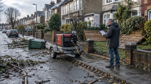 Storm Darragh 2024
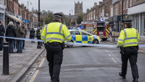 Major Incident Declared





