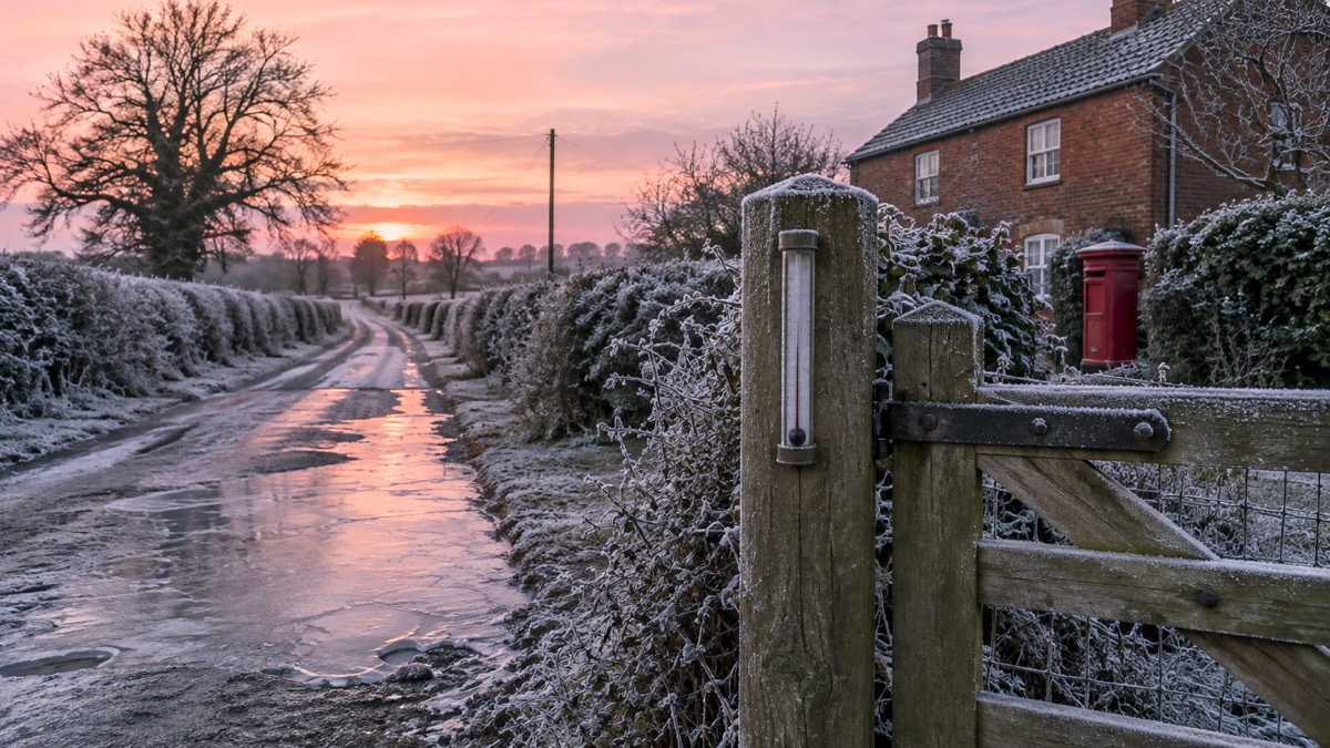
Overnight temperatures fell to -12.5°C in Marham, Norfolk, the coldest night of the winter so far, the Met Office said on 6 January 2026. Santam Downham in Suffolk and Topcliffe in North Yorkshire both recorded a low of -10°C1.
The Met Office said cold Arctic air remains across the UK with multiple warnings in force. An amber warning for snow covered northern and central Scotland from 11:00 to 19:00 on Tuesday, with a yellow warning for snow and ice following for the whole of Wednesday. New yellow warnings for ice were issued for Northern Ireland, Scotland and much of England and Wales for overnight Tuesday into Wednesday morning1. The UK Health Security Agency has amber cold weather health alerts in place for all regions of England until 11 January1.
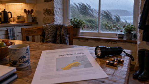
A deepening area of low pressure, named Storm Goretti by Meteo France, is expected to move across the south of the UK during Thursday and into Friday. The Met Office has issued a yellow warning for snow across parts of England and Wales from 18:00 on Thursday to 12:00 on Friday, with accumulations of 5-10cm possible and as much as 20cm over higher ground in Wales. A yellow warning for wind covers parts of southwest England from 15:00 to 23:59 on Thursday, with gusts of 50-60mph, possibly 70mph around exposed coasts, possible on Thursday evening1.
| Warning | Area | Period |
|---|---|---|
| Amber snow | Northern and central Scotland | Tuesday 11:00 to 19:00 |
| Yellow snow and ice | Northern Scotland | Wednesday |
| Yellow ice | Northern Ireland, Scotland, much of England and Wales | Overnight Tuesday into Wednesday morning |
| Yellow snow | Parts of England and Wales | Thursday 18:00 to Friday 12:00 |
| Yellow wind | Parts of southwest England | Thursday 15:00 to 23:59 |
Met Office Deputy Chief Forecaster Chris Bulmer said the exact track of the low remained uncertain and warnings were likely to be amended, and potentially escalated, over the coming days1.
"Thursday night could be what we call a 'multi-hazard' event, with snow on the northern flank of the low, wind and rain on the southern flank."
Why it matters for households
The Met Office said temperatures look to stay well below average into the weekend, with wintry showers and ice still a hazard in places, and that milder air from the west on Sunday should bring an end to the current cold spell1. Icy surfaces and lying snow affect travel and everyday errands across the warned areas, and the health alerts for all regions of England run until 11 January1.
Age Scotland policy director Adam Stachura said households should try to have enough food and important medications at home to reduce the need for unnecessary and potentially risky trips, particularly for people with mobility challenges or who are unsteady on their feet. Where heating a home is a challenge, he said people should try to stay warm in the room they spend most of their time in by wearing layered clothing, taking warm drinks and food and keeping active with regular movement. He also asked people clearing snow and ice from paths and drives to think about doing so for older neighbours1. The Met Office's WeatherReady campaign offers advice on preparing homes and routines for winter weather1. Our storms and snow hub covers practical preparation for this kind of weather, and our guide on how warm a bedroom should be at night in winter sets out the recommended range.
What happens next
The Met Office said warnings are likely to be updated as detail becomes more certain, and that people should keep up to date with the latest forecasts1. Further unsettled weather is expected on Sunday, with rain that may be heavy at times moving in from the west and potentially turning to snow, with strong winds also possible1.