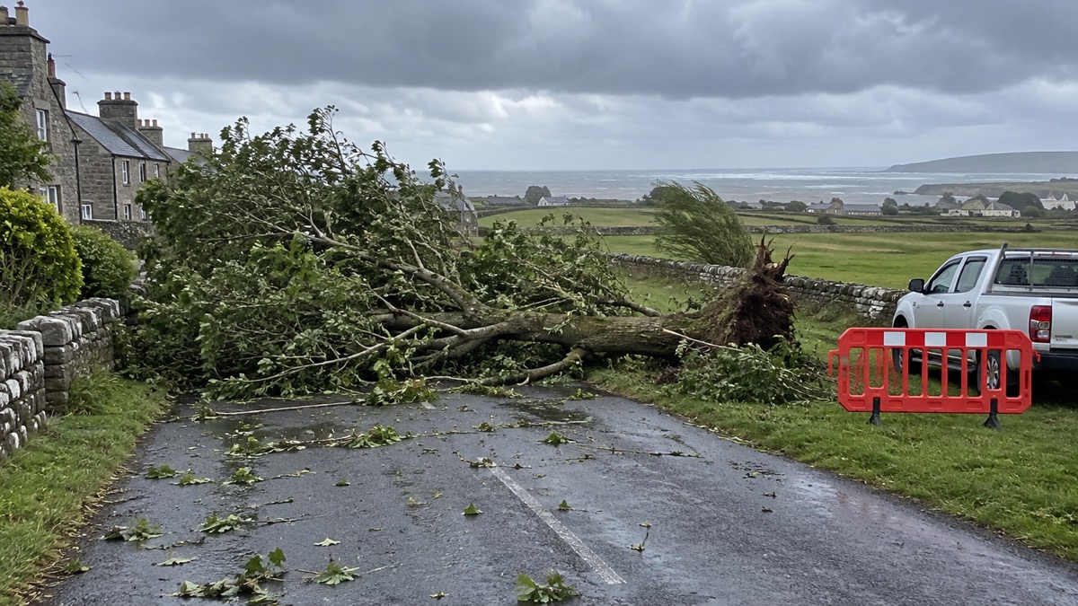
The Met Office issued an Amber National Severe Weather Warning for wind covering much of Scotland, extended to include Orkney, in force until 23.00 on Monday 4 August 2025, alongside a wider Yellow wind warning for the northern half of the UK1. The Amber warning was issued on Monday morning, with the Met Office reporting at 10:55 that Storm Floris was bringing unseasonably strong winds1.
The Met Office said much of Scotland was likely to see gusts of 50-70mph, with more than 80mph on some exposed coasts, hills and bridges, and that western coastal areas would see the highest gusts late morning, with the strongest winds transferring to northeastern Scotland by late afternoon1. Across the wider Yellow area, many inland areas were likely to see gusts of 40-50mph, with 60mph likely at higher elevations and around some exposed coasts1. The Met Office said some sites in Scotland were likely to break their August wind gust records that day, and that only two Amber wind warnings had previously been issued in August since impact-based warnings were introduced in 20111.
The warnings differ in timing and extent between bodies. The Met Office gave the Amber warning as running until 23.00 on Monday, with the wider Yellow warning for most areas expiring at the end of Monday and a further Yellow wind warning for the Northern Isles through to 8.00 on Tuesday1. The Lancashire Resilience Forum said a Yellow warning would come into force at 6am on Monday and remain in place until 6am on Tuesday2. SSEN, the electricity network operator for the north of Scotland, described an Amber warning from 1000 to 2300 on Monday for most of Scotland, lesser Yellow warnings for the whole country from 0600 on Monday, and a separate Yellow wind warning for Orkney and Shetland from midnight on Tuesday through to 08003. SSEN also said projected gust speeds had increased over the weekend, and that gusts could be as high as 100mph in exposed areas4; an earlier SSEN update had put the possible figure at 90mph3.
| Warning | Area | Timing as given |
|---|---|---|
| Amber wind | Much of Scotland, including Orkney | Until 23.00 Monday1; 1000 to 2300 Monday4 |
| Yellow wind | Northern half of the UK, including north Wales, northern England and Northern Ireland | Through Monday, expiring at the end of Monday for most areas1; 6am Monday to 6am Tuesday2 |
| Yellow wind | Northern Isles (Orkney and Shetland) | Through to 8.00 Tuesday1; from midnight Tuesday to 08004 |
Rain was an additional hazard, with northern and western parts of Scotland seeing 20-30mm through the day and 40-60mm possible over some hills and mountains1. SSEN named Argyll, the Highlands, the Western Isles, Perthshire, Angus, Moray and Aberdeenshire as likely to face the strongest winds, and said the Aberdeenshire area could experience sustained storm-force winds overnight into the early hours of Tuesday4.
"Much of Scotland is likely to see gusts of 50-70mph with more than 80mph on some exposed coasts, hills and bridges."
Why it matters for households
The Met Office said the warnings highlight potential transport disruption and particularly hazardous conditions on immediate coastlines, with disruption expected on roads and bridges and conditions likely to be particularly difficult for high-sided vehicles1. Martin Thomson of Transport Scotland said rail, ferry and aviation services would also be subject to cancellation, delay or speed restrictions, and that Traffic Scotland would provide regular updates on the trunk road network through its website, X/Twitter account and radio broadcasts1. The Met Office advises people to take extra care when driving and out and about, such as camping or near the coast, and says it is advisable to stay inside as much as possible within the Amber warning area1. It also advises checking for loose items outside the home and planning how to secure them, listing bins, plant pots, garden furniture, trampolines and sheds1. The Lancashire Resilience Forum reported Met Office advice that flying debris and large waves could cause potential injuries, and that people should secure loose items such as garden furniture, trampolines, tents and sheds and check details before travelling2. The Met Office advises people to stay up to date with the forecast for their area and follow advice from emergency services and local authorities1.
SSEN said disruption to the electricity network was expected in the north of Scotland, that it had moved to Yellow Alert status over the weekend and brought in several hundred extra team members, cancelled planned maintenance and drafted in additional tree-cutting teams, and that it had sent text messages to more than 100,000 of its more vulnerable customers, with individual calls on Sunday to the most vulnerable in the areas expected to be worst hit3. SSEN asks customers to save the emergency power cut number 105 to report loss of supply or damage to the network, and says anyone who sees damage to its equipment should stay back, not touch it and report it on 105 or through its Power Track website5. SSEN says customers are eligible for its free Priority Services Register if they are deaf or hard of hearing, have a disability, live with children under five, are blind or partially sighted, have a chronic illness, use medical equipment or aids reliant on electricity, or are over 60, and gives 0800 294 3259 for details5. The Met Office explains the warning levels in its guide to Met Office weather warnings, and households can read how to sign up for Met Office weather alerts and how to drive safely in strong winds; the storms and snow hub covers wider preparation, and the staying informed hub covers following official updates.
What happens next
The Met Office said Storm Floris would move northeast late on Monday and into Tuesday, leaving a breezy day for many in the north on Tuesday with further showers over northern and some central and eastern parts of the UK, and drier, sunnier conditions further south1. It said there was a signal for further unsettled weather later in the week, with some strong winds and heavy rain late on Wednesday and into Thursday, particularly over Scotland, with further details available as the week progressed1. Storm Floris is the sixth named storm of the 2024/2025 storm naming season, and the last named storm to affect the UK was Storm Éowyn in late January1.
Sources (5)
- Amber warning in force as Storm Floris impacts UK - Met Office, metoffice.gov.uk
- Met Office issues storm warning | Lancashire Resilience Forum, lancashireprepared.org.uk
- We remain at Yellow Alert ahead of Storm Floris - SSEN, ssen.co.uk
- We're ready to respond as Storm Floris moves across Scotland - SSEN, ssen.co.uk
- We've moved to Weather Warning status for the north of Scotland ahead of Storm Floris - SSEN, ssen.co.uk
 Met Office Weather Warnings
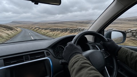 Driving in Strong Winds





