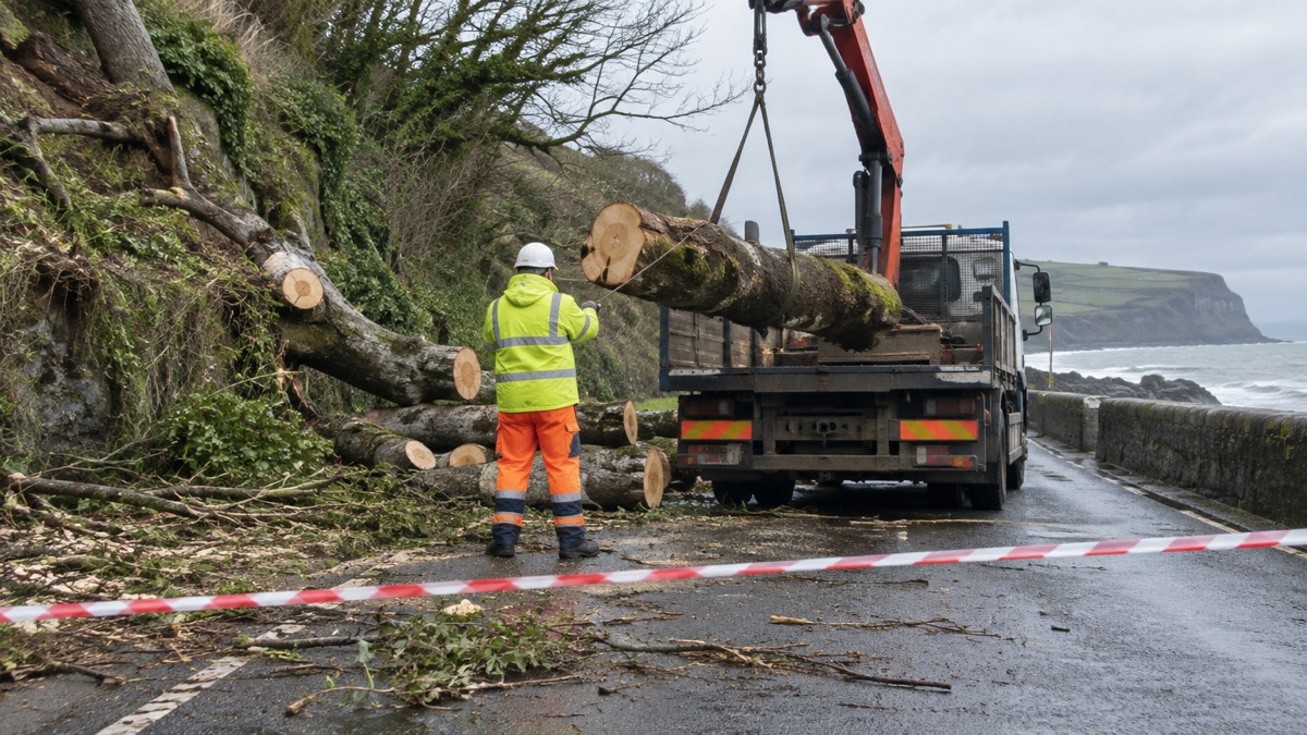
The Met Office issued an Amber warning for wind covering northern England, southern Scotland and northwest Wales, in place from 7 pm on Saturday 4 April to 3 am on Sunday 5 April 2026, as Storm Dave moved across the north of the UK1. The warning was announced by the Met Office on 4 April and reflects what it described as an increased likelihood of very strong winds bringing disruption, particularly in exposed areas1.
Gusts of 60 to 70 mph are possible in some locations, with a risk of power cuts, travel disruption and difficult conditions along coasts1. Yellow warnings for wind and snow were also in place across a broader area of northern England, Scotland and Northern Ireland as the storm moved eastwards, bringing a spell of wet and windy weather1. A Yellow warning for snow ran from 3 pm on Saturday to 3 am on Sunday covering parts of northwest Scotland, with accumulations of 5 to 10 cm possible at locations over 200 m in northern Scotland and some areas possibly seeing 10 to 20 cm; strong winds were expected to bring blizzards and drifting snow as an additional hazard1.
The Met Office said wind speeds would peak at different times as the deep area of low pressure moved across the north of the UK, with peak gusts in Northern Ireland expected earlier on Saturday afternoon before spreading more widely across the north1. Winds were forecast to ease as Storm Dave cleared into the North Sea on Sunday, with blustery showers continuing across Scotland and Northern Ireland while much of England and Wales became fine1. The Met Office said Easter Monday would be the driest day of the Easter weekend, with a ridge of high pressure in the wake of Storm Dave bringing a more settled day1.
"Storm Dave will bring a period of very strong winds, with the strongest gusts most likely in the Amber warning area. People should be prepared for impacts with disruption to travel likely and possible power cuts."
| Warning | Area | Period |
|---|---|---|
| Amber, wind | Northern England, southern Scotland, northwest Wales | 7 pm 4 April to 3 am 5 April 2026 |
| Yellow, snow | Parts of northwest Scotland | 3 pm 4 April to 3 am 5 April 2026 |
| Yellow, wind and snow | Broader area of northern England, Scotland and Northern Ireland | In place as Storm Dave moved eastwards (times not given) |
Why it matters for households
Households in the Amber area, across northern England, southern Scotland and northwest Wales, face possible power cuts and disruption to travel during Saturday evening and the early hours of Sunday1. The Met Office's guide to yellow, amber and red warnings sets out how the levels differ. In northwest Scotland, snow of 5 to 10 cm above 200 m, and 10 to 20 cm in some areas, combined with strong winds, was expected to bring blizzards and drifting snow1. The RAC's Rod Dennis said the storm was set to make driving conditions across the north and west of the UK this Easter particularly challenging, with millions of people still expected on the roads visiting friends and family; the RAC recommended taking extra care on exposed, higher routes and being especially cautious when overtaking high-sided vehicles, and said slowing down and keeping a firm grip on the steering wheel were both vital in these conditions1. The site's guidance on driving safely in strong winds covers the practical points, and households can sign up for Met Office weather alerts for updates.
What happens next
Winds were forecast to ease as Storm Dave cleared into the North Sea on Sunday, with Easter Monday expected to be the driest day of the Easter weekend under a ridge of high pressure1. The Met Office said a warmer spell was likely into midweek before the outlook turned more unsettled, with bands of cloud and rain likely to move in from the west1. Further detail is available in the site's storms and snow section.
Sources (1)
- Amber wind warning issued as Storm Dave crosses the UK - Met Office, metoffice.gov.uk
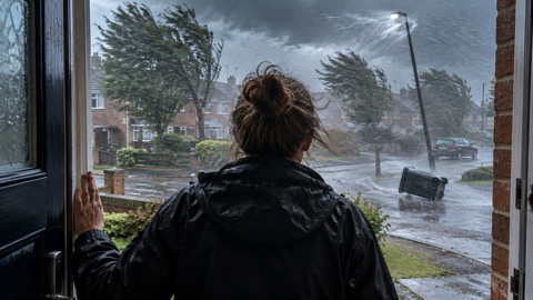 Met Office Weather Warnings
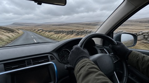 Driving in Strong Winds





