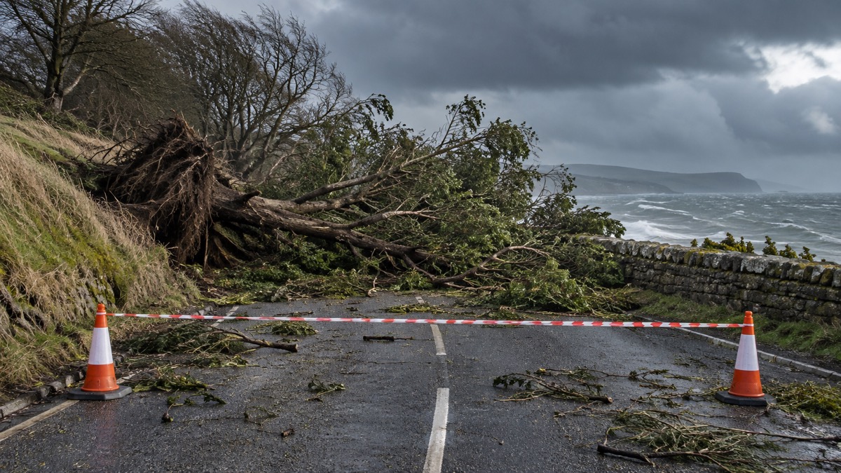
The Met Office issued an amber warning for wind for eastern Northern Ireland on 26 January 2026, as Storm Chandra brought strong winds and heavy rain across the UK from Monday night into Tuesday1. The forecaster said gusts of 60 to 70 mph were likely in the area, with 75 mph possible near the coast, and that easterly winds of this strength are unusual and could have widespread impacts1.
A separate yellow wind warning covers Cornwall, southwest Wales and parts of northern Devon1. An amber warning for rain is in place for south Devon, much of Dorset, southern Somerset and southeast Cornwall, where 30 to 50 mm of rain is expected widely and 60 to 80 mm is possible over higher ground such as south Dartmoor1. Further north, the Met Office said the system will meet colder air and fall as hill snow across Scotland and northern England1. It said the strongest winds are expected to affect exposed southwestern areas of England and Wales before pushing north through the Irish Sea1.
"An Amber warning for wind has been issued for eastern Northern Ireland, where gusts of 60 to 70 mph are likely, with 75 mph possible near the coast."
| Warning | Area | Detail |
|---|---|---|
| Amber, wind | Eastern Northern Ireland | Gusts of 60 to 70 mph likely; 75 mph possible near the coast |
| Yellow, wind | Cornwall, southwest Wales, parts of northern Devon | Separate warning |
| Amber, rain | South Devon, much of Dorset, southern Somerset, southeast Cornwall | 30 to 50 mm widely; 60 to 80 mm possible over higher ground such as south Dartmoor |
Why it matters for households
The Met Office said heavy rain is falling onto already saturated ground, making flooding a key concern1. It advises households to check their property's flood risk status, prepare a flood plan so everyone in the household knows what to do, and assemble an emergency flood kit with essentials such as medication, copies of important documents, warm clothing and a phone charger1. If water enters a property, it advises turning off gas, water and electricity supplies; anyone trapped by rising water should go to the highest safe level but avoid attics, as rising water can quickly cut off exits, and call 999 if in danger1.
On wind, the Met Office advises checking outdoor space and securing anything that could blow away or cause injury, including bins, plant pots, garden furniture, trampolines, and shed doors and loose panels1. For drivers, it advises slowing down to reduce the impact of sudden gusts, taking extra care around high-sided vehicles, cyclists and motorcyclists, and keeping a firm grip on the steering wheel, noting that bridges, coastal routes and high ground are particularly exposed1. Where water is flowing across a road, it says not to attempt to drive through it, as even shallow floodwater can stall engines or sweep vehicles off course1. At the coast, it advises staying well back from breaking waves, checking local tide times and keeping dogs on leads near cliffs, and calling 999 and asking for the Coastguard in an emergency1.
The Met Office also asks people to check in with neighbours, particularly older people, those with medical conditions, or anyone living alone, and to contact NHS 111 if concerned about someone's health1. The Met Office publishes weather warnings explained and guidance on signing up for Met Office weather alerts; its advice on preparing your home and garden for high winds and on driving safely in strong winds covers the same ground.
What happens next
The Met Office said the deep area of low pressure will bring strong winds and heavy rain from Monday night into Tuesday, with flooding and damaging winds expected later on Monday and on Tuesday in parts of the UK1. It advises staying up to date with the latest forecasts and following official warnings1. No further warning updates beyond those published on 26 January have been reported.
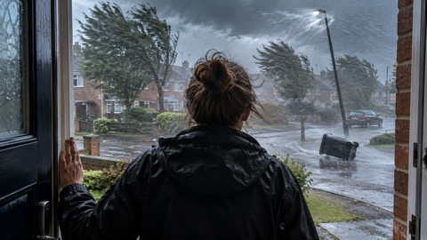 Met Office Weather Warnings
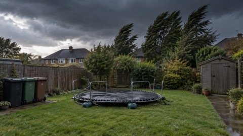 Preparing for High Winds
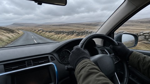 Driving in Strong Winds





