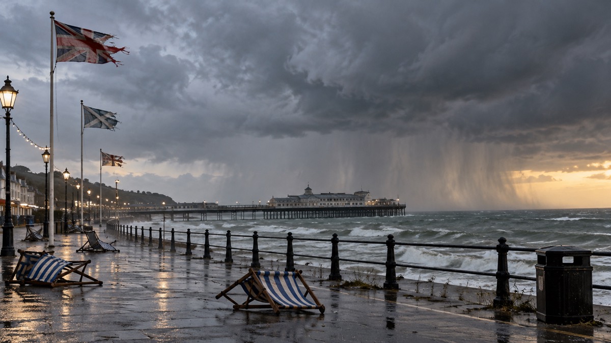
The Met Office issued a Yellow Thunderstorm Warning on Wednesday 24 June 2026, highlighting the chance of sudden gusty winds around 50mph for parts of southern and western England on Thursday evening1. The warning sits alongside a Red Extreme Heat Warning that came into force at 0900 on Wednesday morning and runs to late on Thursday night, covering much of southern and central England and Wales1.
The Met Office said temperatures will exceed 30°C for many on Wednesday and Thursday, with a peak of around 37°C possible on Wednesday and 38°C on Thursday and Friday, though there is still a chance of this being exceeded1. The existing UK June daily air temperature record of 35.6°C, reached on 28 June 1976 and 29 June 1957, is very likely to be exceeded in the coming days1. Overnight minimum temperature records for June are also at risk, with Wales provisionally seeing its overnight temperature record for the month, 20.3°C the lowest figure reached at St Athan, South Glamorgan on Monday night1.
The Red warning is embedded within a wider Amber warning area covering much of England and Wales through Wednesday and Thursday, and further Amber warnings have been issued for Friday and Saturday, shifting gradually further east of southern and central England as those further west see the highest figures relent1. The Met Office said warnings remain under review and there is a chance of escalation or extension, with the Amber for Friday highlighting the likelihood of high impacts1. Scotland and Northern Ireland will also see warmth for a time, though absolute peaks are unlikely to reach the figures bringing severe impacts further south, and temperatures will drop quicker there, with rain and cloud likely to reach some on Thursday1.
"A Yellow Thunderstorm Warning has been issued, highlighting the chance of sudden gusty winds around 50mph being possible."
The UK Health Security Agency has issued a series of Heat Health Alerts highlighting potential health and social care impacts1. Dr Agostinho Sousa, Head of Extreme Events and Health Protection at UKHSA, said a red heat health alert indicates a risk to life for even the healthy population, and that simple actions like staying hydrated, avoiding the sun during the hottest part of the day and keeping the home cool can make a big difference, adding that it is important to look out for elderly relatives, neighbours and those with underlying health conditions1.
Why it matters for households
The Met Office said the combination of heat and humidity will be oppressive and bring impacts across society from public health and infrastructure to power and water supplies1. Met Office Chief Forecaster Matthew Lehnert said high humidity is an additional factor which will mean the heat will feel much more potent for many, and that high overnight temperatures, likely to stay above 20°C for large parts of England and Wales, increase the potential for significant impacts1.
Age UK Charity Director Caroline Abrahams said red extreme heat weather warnings are rare and should be taken seriously, especially by older people living with underlying health conditions such as heart or lung problems that increase the risk of heat-related harm1. She said simple precautions include keeping in the shade, drinking plenty of water and confining activities like walking or shopping to early or late in the day, outside the hottest hours between 11am and 3pm, and keeping the home as cool as possible by closing curtains and windows during the day and opening them at night1.
The RNLI's National Water Safety Partner Samantha Hughes said the water is still cold and entering it unexpectedly can lead to cold water shock1. The Met Office said seas and river temperatures are low enough to cause cold water shock when 15°C or lower, and the RNLI advises choosing a lifeguarded beach and swimming between the red and yellow flags, and calling 999 for the coastguard in a coastal emergency1.
The Met Office explains the Met Office Weather Warnings: Yellow, Amber and Red Explained and how to sign up for Met Office Weather Alerts; further guidance is in the storms and snow section.
What happens next
Thursday will see the peak of the heat for many, though those further east will retain extreme heat on Friday and Saturday and could continue to see further impacts, which has resulted in Amber warnings1. The far southeast will retain the warmth the longest, though there should be a climb-down in figures by Saturday, with peaks around 32°C likely1. Next week is likely to see a change to more of a westerly influence on the UK's weather, with a return to more average temperatures for the time of year and a mixture of winds and rain, particularly in the northwest1.
 Met Office Weather Warnings





