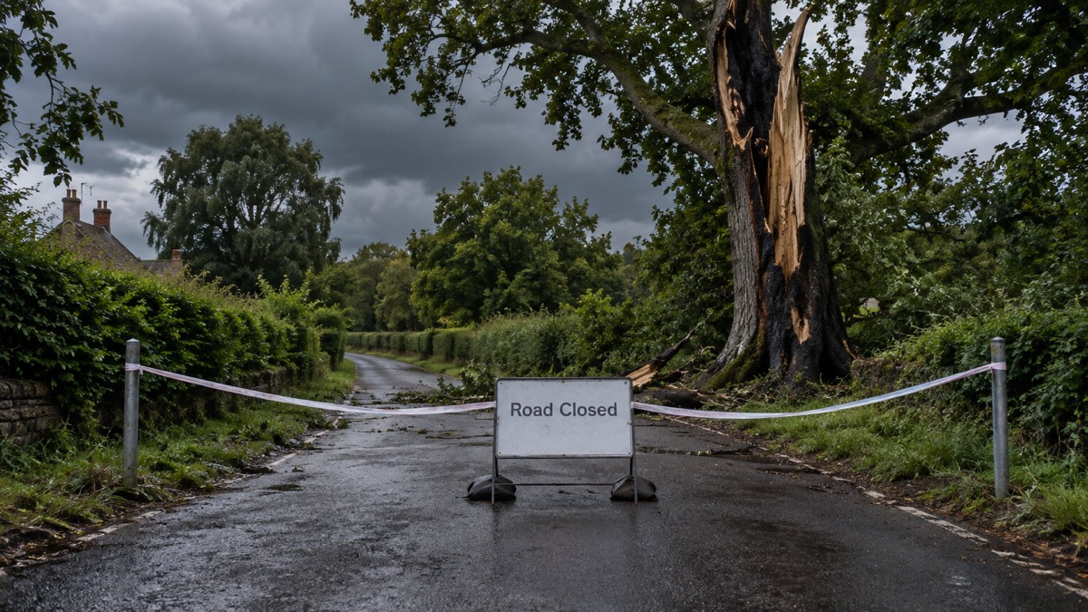
The Met Office issued a Yellow Thunderstorm Warning for parts of the Southeast for the day after record heat, it announced on 19 July 2022. The same announcement confirmed that, for the first time on record, temperatures in the UK had exceeded 40°C.
A provisional temperature of 40.3°C was recorded at Coningsby at 15:12 on 19 July which, if confirmed, will beat the previous record of 38.7°C set in 2019 by 1.5°C1. The first ever Red Extreme Heat warning was still in place across parts of England, together with a larger Amber Extreme heat warning covering much of England, Wales and southern Scotland1. Overnight records were also expected to have been broken, with 25.8°C provisionally recorded in Kenley in Surrey and 24.5°C in Aberporth in Wales, above the previous highest daily minimum of 23.9°C recorded in Brighton on 3 August 19901.
The Met Office said thunderstorms were possible in parts of the southwest on 19 July and later in the northeast of England, with the Yellow warning covering parts of the Southeast on 20 July1. Its chief meteorologist described the sequence.
"Along with the extreme heat we are now seeing an increasing risk of thunderstorms particularly in the Northeast of England this afternoon (Tuesday) and in the south tomorrow (Wednesday)."
A Level 4 UK Health Security Agency Heat Health Alert was issued for Monday and Tuesday. The Met Office said this level is used when a heatwave is so severe or prolonged that its effects extend outside the health and social care system, and that illness may occur among the fit and healthy, not just high-risk groups1.
| Warning or alert | Area | Period |
|---|---|---|
| Red Extreme Heat | Parts of England | In place on 19 July |
| Amber Extreme Heat | Much of England, Wales and southern Scotland | In place on 19 July |
| Yellow Thunderstorm | Parts of the Southeast | 20 July |
| UKHSA Heat Health Alert, Level 4 | England | Monday and Tuesday |
Why it matters for households
The Met Office advised people to plan for the heat and consider changing their routines, saying this level of heat can have adverse health effects1. Its published guidance said older people, those with underlying conditions and those who live alone are particularly at risk, and that people living alone should ask a relative or friend to phone and check on them1. It advised closing curtains on rooms that face the sun, keeping out of the sun between 11am and 3pm when UV rays are strongest, drinking plenty of fluids and avoiding excess alcohol, and never leaving anyone in a closed, parked vehicle, especially infants, young children or animals1. It also advised taking care and following local safety advice when entering open water to cool down1.
The UK Health Security Agency's head of extreme events and health protection said people should keep hydrated and find shade where possible between 11am and 3pm, and that those with vulnerable family, friends and neighbours should make sure they know how to protect themselves1. Water UK said water companies were seeing substantial demand during the hot weather1. National Highways advised everyone to check vehicle tyres, coolant and oil levels before heading out1. Government advice is that 999 services should be used in emergencies only, with 111 for non-emergency health advice1.
The Met Office's guide to yellow, amber and red weather warnings explains what each level means, and its guide to signing up for Met Office weather alerts covers how warnings are received. Further material is in the storms and snow section.
What happens next
The Met Office said the thunderstorm risk would move to the east of England later on 19 July, with the potential for isolated heavy showers, gusty winds and lightning1. Temperatures were expected to start to return closer to normal for the time of year through the rest of the week, with cooler air pushing across the country from the west1.
Sources (1)
- Record breaking temperatures for the UK - Met Office, metoffice.gov.uk
 Met Office Weather Warnings





