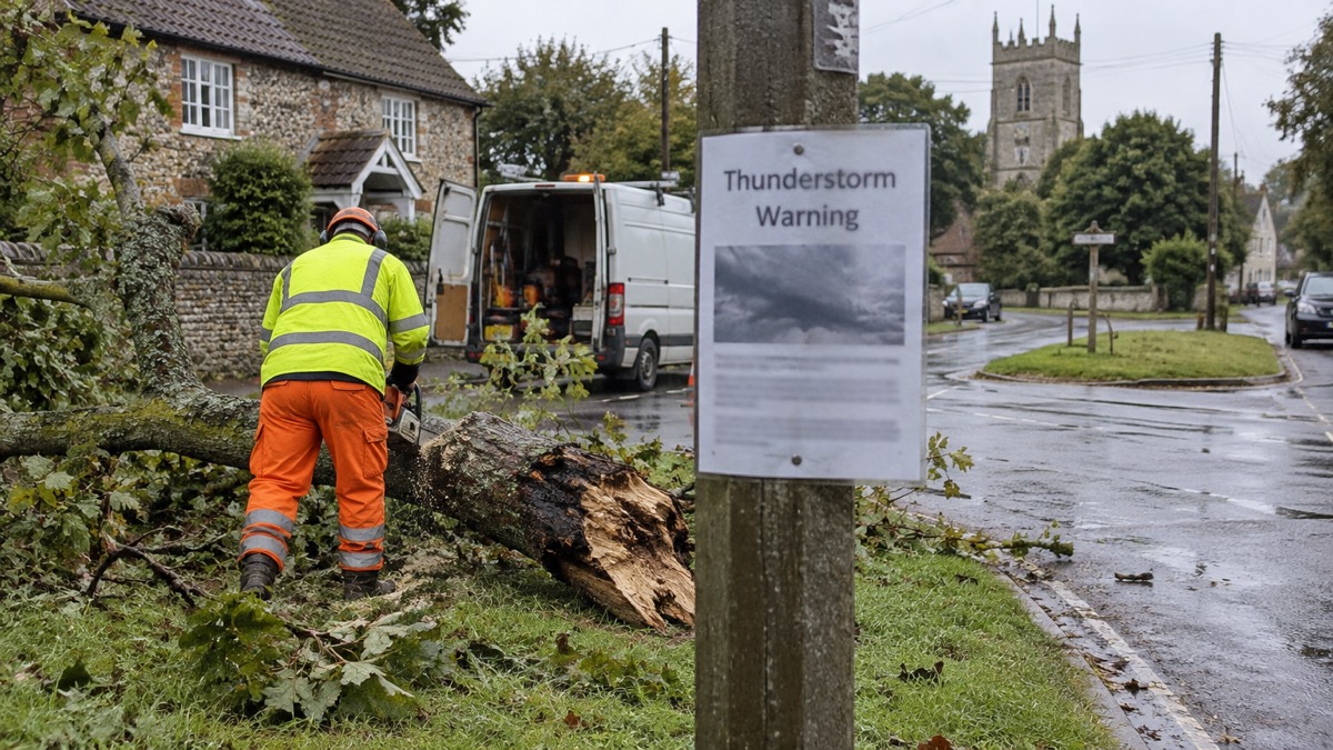
The Met Office issued a further yellow thunderstorm warning across Norfolk from 5pm on Wednesday 27 August until 7am the next morning, the Eastern Daily Press reported1. It followed an earlier warning in place that day from 5am until 10pm, although many places across the region avoided thundery downpours1.
The later warning covered thunderstorms that may bring flooding, lightning or hail overnight1. The Met Office warned there is a small chance that homes and businesses could be flooded quickly, with damage to some buildings from floodwater, lightning strikes, hail or strong winds, and of possible fast-flowing or deep floodwater that could pose a threat to life1. Where flooding or lightning strikes occur, train and bus services could face delays or cancellations and roads might close due to spray and sudden flooding1.
A separate warning was later issued for Saturday 29 August, in place between 12pm and 9pm, covering areas including King's Lynn, the north Norfolk coast, Fakenham, Dereham and some of Norwich2. That warning followed an earlier yellow alert across west Norfolk until 9pm on 27 August2. The Met Office said there may be damage to buildings due to lightning strikes and some flooding, and that a short-term loss of power and other services in some areas is expected2.
"An area of heavy showers and thunderstorms will move across this region during the afternoon and early evening," the Met Office said.
Why it matters for households
The warnings set out several practical risks for households in the affected areas. The Met Office warned of a small chance of rapid flooding of homes and businesses, damage to some buildings, and fast-flowing or deep floodwater that could pose a threat to life1. Travel disruption is possible where flooding or lightning strikes occur, with delays or cancellations to train and bus services and possible road closures1. For the Saturday warning, a short-term loss of power and other services in some areas is also expected2.
The Met Office urged people to consider whether their location is prone to flash flooding and to prepare a flood plan and emergency kit if necessary, and suggested securing moveable objects or temporary structures such as bins, garden furniture and fences before strong winds arrive1. It advised checking road conditions or public transport timetables and adjusting travel plans to avoid delays1. For the Saturday warning, people were urged not to shelter under or near trees or other structures which may be struck by lightning, and those on a raised area were told to move to lower ground2. Those in locations at risk of flash flooding were advised to consider preparing a flood plan and an emergency flood kit2.
The Met Office's warning levels and what yellow, amber and red mean are set out in the guide to Met Office weather warnings, and households can find out how to receive alerts directly in the guide to signing up for Met Office weather alerts. Further coverage of storms and severe weather is collected in the storms and snow hub.
What happens next
The first further warning ran until 7am on 28 August1. The Saturday warning runs from 12pm until 9pm on 29 August2. No further warnings for Norfolk beyond those dates have been reported.
 Met Office Weather Warnings





