Storm Franklin lay to the west of Scotland at 0000 UTC on 21 February 2022, according to the Met Office analysis chart for that time1. It was the third named storm to affect the UK within a week, following Dudley and Eunice, the first time this had happened since storm naming was introduced in 2015/20161.
The Met Office reports that Franklin was a particularly severe storm across Northern Ireland and parts of north-west England. Gusts reached 68Kt (78mph) at Orlock Head, County Down, 66Kt at Magilligan and Lough Fea, both County Londonderry, and 65Kt (75mph) at St Bees Head, Cumbria1. For most locations wind speeds were generally not quite as high as for Eunice, but the strongest winds were particularly sustained, with gusts of over 40Kt for a 36 hour period from midnight on 20 February to mid-day on 21 February, peaking in the early hours of 21 February1.
| Location | County | Maximum gust |
|---|---|---|
| Orlock Head | Down | 68Kt (78mph) |
| Magilligan | Londonderry | 66Kt |
| Lough Fea | Londonderry | 66Kt |
| St Bees Head | Cumbria | 65Kt (75mph) |
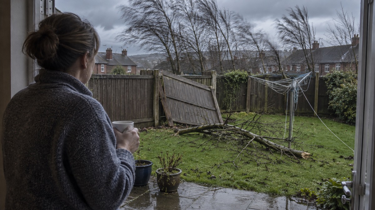
The Met Office says the strong winds from Franklin hampered clean-up operations following Eunice1. Eunice had brought the most severe and damaging storm to affect England and Wales since February 2014, with two rare red warnings issued, including the first red warning for wind covering south-east England and London1. Four people died in the UK and Ireland as a result of falling trees, and over a million homes were left without power, with ongoing power cuts lasting several days1. The Port of Dover was temporarily closed to all shipping, and the Humber bridge and both Severn bridges were closed for the first time in their history1.
"The strong winds from Franklin hampered clean-up operations following Eunice."
The same spell of wet and windy weather brought significant flooding problems in parts of England, Wales and Northern Ireland. Around 400 properties were flooded, with severe flood warnings issued for several major rivers including the Severn1. In Yorkshire, the River Wharfe burst its banks and the lines at Rotherham Central station were flooded1. By 23 February, West Yorkshire had already recorded 224% of the February 1991-2020 long term average rainfall1.
Why it matters for households
Franklin's effects fell hardest on Northern Ireland and north-west England, where the Met Office records sustained gales over a 36 hour period from midnight on 20 February to mid-day on 21 February 20221. Households in those areas faced a second bout of disruptive wind within days of Eunice, at a time when power cuts from the earlier storm were still being repaired in some places, with ongoing outages lasting several days after Eunice1. The Met Office records that the strong winds from Franklin hampered clean-up operations following Eunice1. The Met Office's guidance on driving safely in strong winds and its wider storms and snow pages set out the hazards associated with gales.
What happens next
The Met Office report, published on 24 February 2022, records the rainfall position as at 23 February, when West Yorkshire had reached 224% of its February average1. No further dated steps are given in the report.
Sources (1)
- metoffice.gov.uk, metoffice.gov.uk
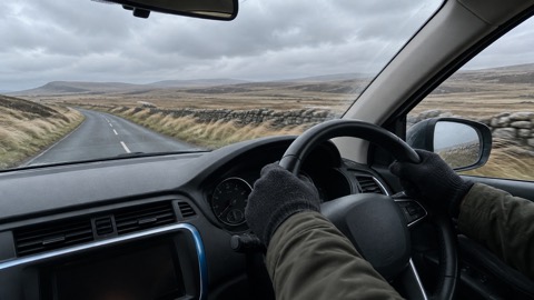 Driving in Strong Winds





