The Met Office has issued yellow weather warnings for Saturday, with strong winds and heavy rain due late on Friday night into the weekend1. The whole of the southwest of England is affected, with parts of the south of the country along with large swathes of Wales, between 6am and 9pm1. A separate warning covering much of Northern Ireland is in place from midnight to noon on Saturday1.
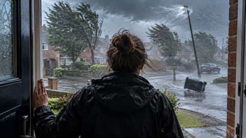
The Met Office warns of up to 60mm of rain falling in the worst affected areas, with gusts of wind up to 65mph in coastal areas1. Its deputy chief meteorologist Steven Keates said Northern Ireland is likely to see the highest rainfall totals, with a chance of 40-60mm in some spots but 20-30mm more widely, and that parts of north Wales and northwest England could also see very wet conditions1. The strongest winds are more likely in southwestern areas of the UK, including parts of Wales, southwest England and along the south coast of England1.
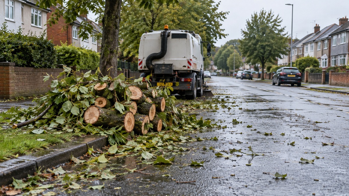
"With trees in full leaf, wet ground and the likelihood of a number of outdoor events etc, the impacts of this weather are likely to be greater than if it were to occur during the autumn or winter."
The warning areas and timings as reported are set out below.
| Area | Warning period (Saturday) | Reported detail |
|---|---|---|
| Southwest England, parts of southern England, much of Wales | 6am to 9pm | Up to 60mm of rain in worst affected areas; coastal gusts up to 65mph1 |
| Much of Northern Ireland | Midnight to noon | Chance of 40-60mm in some spots, 20-30mm more widely1 |
Keates said the most exposed coasts could see gusts in excess of 60mph, with inland gusts of 50mph possible, especially for parts of Wales and southwest England1. Winds are expected to ease from the west later in the day, and windy conditions will likely coincide with high tides, which could present an additional challenge for coastal areas1. The Independent reports that last month was the UK's sixth wettest July on record, averaging 140.1mm of rain across the month, and the wettest in Northern Ireland's history1.
Why it matters for households
The warnings cover a Saturday, a day when many households travel and outdoor events take place. The Met Office's deputy chief meteorologist said impacts are likely to be greater than if the same weather occurred in autumn or winter, because trees are in full leaf, the ground is wet and a number of outdoor events are likely1. Inland gusts of 50mph are possible, especially for parts of Wales and southwest England, and the most exposed coasts could see gusts in excess of 60mph1. Heavy rain of 20-30mm is widely expected, with 40-60mm possible in some spots in Northern Ireland1. Windy conditions are likely to coincide with high tides, which the Met Office says could present an additional challenge for coastal areas1. The Met Office weather warnings guide explains what yellow, amber and red warnings mean, and households can find out how to receive alerts in the guide to signing up for Met Office weather alerts. Further background on storms and severe weather is in the storms and snow section.
What happens next
Winds are expected to ease from the west later on Saturday1. The Met Office outlook for Sunday and Monday is for the weather to turn drier and brighter, with winds easing, a risk of showers throughout and staying cool1. Forecasters say a shift in the jet stream could allow more favourable conditions later next week, bringing high pressure to southern areas of the UK, though Keates said the details are quite uncertain at this range and there is still a chance of rain in areas further north1.
 Met Office Weather Warnings





