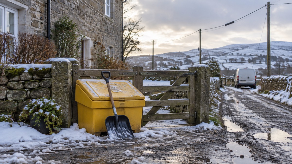
The Met Office issued an amber weather warning for heavy snow across parts of eastern Scotland for Sunday 11 January, between 03:00 and 14:00, in an announcement published at 12:03 (UTC) on Saturday 10 January1. The forecaster said a low pressure system to the northwest of the UK will drive milder air and strong winds across the UK on Sunday, with snow accumulating in the north before turning to rain later in the day1. It reported that conditions had improved after Storm Goretti, with a brighter and more settled day for many on Saturday, while wintry showers with snow on high ground continued in parts of north and northwest Scotland1.
Within the amber warning area, snow accumulations of 5-15cm are likely at relatively low levels, with potentially up to 20-30cm over higher elevations in the Highlands and Aberdeenshire1. A wider yellow warning for snow and ice covers the majority of Scotland and much of northern England, where there is still a chance of 2-5cm at low levels and temporarily 10-20cm over higher ground before snow turns to rain1.
| Hazard | Where | Detail |
|---|---|---|
| Snow (amber) | Parts of eastern Scotland | 5-15cm at low levels; up to 20-30cm over higher ground in the Highlands and Aberdeenshire, Sunday 03:00 to 14:001 |
| Snow and ice (yellow) | Most of Scotland, much of northern England | 2-5cm at low levels; 10-20cm over higher ground before turning to rain1 |
| Rain (yellow) | Western and northern Scotland, southwest Scotland, Northern Ireland | 80-100mm in the western Scotland area through Sunday into Monday, with snow melt; 40-60mm over higher ground in Northern Ireland1 |
| Wind (yellow) | Scotland, coasts of Northern Ireland | Gusts of 45-60mph widely, 70mph possible in the Western Isles and Northern Isles; 60-70mph in Northern Ireland and western Scotland Sunday night into Monday morning1 |
The Met Office said freezing rain is possible as snow transitions to rain, especially across parts of east Scotland and northeast England, and that where this occurs ice could form very quickly on all surfaces1. Met Office Chief Forecaster Rebekah Hicks said:
"Sunday will see a disruptive spell of weather as the UK transitions into a milder air mass, marking an end to the cold spell we've had since the start of the year."
The Scottish Government's Resilience Room (SGORR) met again on Saturday as agencies continued to deal with the impact of sustained cold and wintry weather across much of northern Scotland and other parts of the country1. Scottish Cabinet Secretary for Justice and Home Affairs Angela Constance said the Met Office had advised partners of a complicated multi-hazard event over Sunday and into Monday, involving continued snowfall, snowmelt and heavy rain leading to a flooding risk from Sunday afternoon, and encouraged people to follow advice for their local area from the Met Office, SEPA and Police Scotland1. Pascal Lardet, SEPA Flood Duty Manager, said rain and thaw of lying snow from Sunday onwards will increase the risk of flooding, with possible impacts including flooding of low lying land, roads and individual properties1.
Why it matters for households
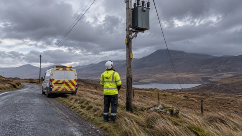
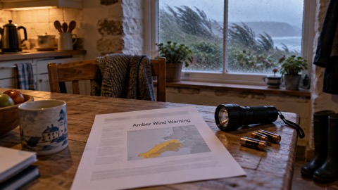
The warnings cover most of Scotland and much of northern England, with rain warnings for western and northern Scotland, southwest Scotland and Northern Ireland, and wind warnings for Scotland and the coasts of Northern Ireland1. The Met Office said strong winds, snow and ice accretion mean there is a chance of some power outages1. Its advice for coping with a power cut includes keeping candles and matches or lighters, torches and batteries, and a mobile phone power pack; switching off electrical appliances that should not be left unattended; leaving a light on so it is known when power has been restored; checking whether neighbours are safe and also without power; and wrapping up warm and closing internal doors to keep heat in1. It lists portable heaters as an alternative if heating systems are down and gives 105 as a free number for information in England, Scotland and Wales1. SEPA encourages people to sign up to the Floodline service for free updates and to check its three-day Scottish Flood Forecast1. The Met Office's WeatherReady campaign offers practical advice for preparing homes, gardens and daily routines for winter weather1. Further detail on preparing for wintry conditions is in the guide to storms and snow.
What happens next
Strong winds will continue into Monday morning in Northern Ireland and western Scotland, where gusts of 60-70mph could bring further disruption to the start of the week under a yellow wind warning running from Sunday night through Monday morning1. After this, the Met Office said temperatures will return closer to average for most through next week, with a south-westerly regime dominant and the likelihood of further unsettled weather at times with a risk of further heavy rain in places1.
Sources (1)
- Amber warning for further snow in Scotland - Met Office, metoffice.gov.uk